Javornik - Sveti Jošt above Kranj
Starting point: Javornik (650 m)
| Lat/Lon: | 46,237°N 14,2967°E |
| |
Time of walking: 40 min
Difficulty: easy marked way
Altitude difference: 195 m
Altitude difference po putu: 195 m
Map: Škofjeloško in Cerkljansko hribovje 1:50.000
Recommended equipment (summer):
Recommended equipment (winter):
Views: 30.787
 | 4 people like this post |
Access to the starting point:
a) Take Medvode, then take the old road to Kranj, where you turn left at the first traffic light in the direction of Stražišče and Šmarjetna gora. From the roundabout where the road to Šmarjetna gora turns off to the right, continue "straight on" (second exit). Continue along Škofjeloško, then from a slightly larger junction turn right towards Sv. Jošta above Kranj and Čepulje. Follow the ascending road to the beginning of the village of Javornik, where you can park in a suitable place on the roadside.
b) From the motorway Jesenice - Ljubljana, take the exit Kranj West, then follow the old road towards Ljubljana. Towards the end of Kranj, at the last traffic light, turn right towards Stražišče. From the roundabout, where the road to Šmarjetna gora turns off to the right, continue "straight on" (second exit). Continue along Škofjeloško, then from the slightly larger junction turn right towards Sv. Jošta above Kranj and Čepulje. Follow the ascending road to the beginning of the village of Javornik, where you can park in a suitable place on the roadside.
c) From the motorway Ljubljana - Jesenice take the exit Kranj east, then follow the signs for Škofja Loka. Leave the road towards Škofja Loka at the point where the signs for Stražišče and Šmarjetna gora direct you to the right. Continue on the Škofjeloško road, which you leave at a slightly larger junction and continue left towards Sv. Jošto nad Kranjem and Čepulje (the road signs are only from the opposite direction). Follow the ascending road to the beginning of the settlement of Javornik, where you park in a suitable place on the roadside.
d) Take the Škofja Loka, then continue driving towards Kranj. When Zgornje Bitnje ends, turn left towards Stražišče and Šmarjetna gora. Continue along the Škofjeloško road, which you leave at a slightly larger junction and turn left in the direction of Sv. Jošto nad Kranjem and Čepulje (the road signs are only from the opposite direction). Follow the ascending road to the beginning of the settlement of Javornik, where you park in a suitable place on the roadside.
Path description:
A few steps before the beginning of Javornik, continue along the marked path, which first climbs up the stairs, then turns left and continues to climb crosswise through the forest. After a few minutes of climbing through the forest, you will reach an asphalt road leading to the top of Sv. Jošto above Kranj. Follow the road to the right, and the marked path from Čepulj soon joins from the left.
From here, follow the road until the first bend, then continue straight into the forest, through which the waymarked trail continues. The trail continues uphill, climbing gently at first, and then a little steeper after a few crossroads where you follow the markings. The steep ascent is cut by an asphalt road leading to the summit, and we continue straight across the road, onto a path that continues over an increasingly scenic grassy slope. After a further short climb, we reach the Dom na Joštu, and a few 10 steps further on, the Church of St. Jošta.
Pictures:
 1
1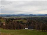 2
2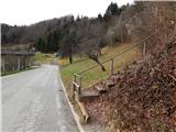 3
3 4
4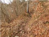 5
5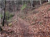 6
6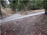 7
7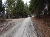 8
8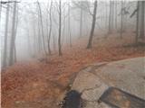 9
9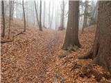 10
10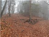 11
11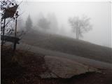 12
12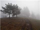 13
13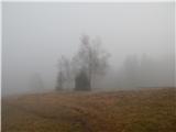 14
14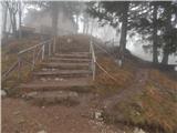 15
15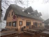 16
16 17
17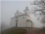 18
18
Discussion about the trail Javornik - Sveti Jošt above Kranj
|
| Guest23. 08. 2007 |
Pa ke ste najdl pot po cesti??  Veliko boljša varianta je, ko se peljete iz Stražišča,na vrhu drugega klanca pustite avto in potem po "sodarju" lepo po gmajni pol ure in ste na vrhu.
|
|
|
|
| Nickster22. 07. 2008 |
Ta pot je dobra sam za kolesarje!?
|
|
|
|
| klavdy612. 04. 2009 |
za kolesarje je pot še prestrma, drugače pa v redu s čudovitim razgledom na kranj.
|
|
|