Jermanca - Najvišji rob (Zeleniške špice) (via Repov kot)
Starting point: Jermanca (900 m)
| Lat/Lon: | 46,3349°N 14,5848°E |
| |
Name of path: via Repov kot
Time of walking: 3 h 45 min
Difficulty: difficult pathless terrain
Altitude difference: 1227 m
Altitude difference po putu: 1229 m
Map: Kamniške in Savinjske Alpe 1:50.000
Recommended equipment (summer): helmet
Recommended equipment (winter): helmet, ice axe, crampons
Views: 26.085
 | 4 people like this post |
Access to the starting point:
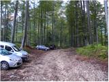
Drive into Kamnik and follow the road towards the Kamnik Bistrica valley. From your home in Kamniška Bistrica, continue along the forest road, which leads you higher up to a crossroads where you turn right towards Jermanca (the straight starting point for Kokrsko sedlo). Follow this occasionally slightly steeper road to the parking lot, which is located just before the end of the road.
After the new road sign, driving is forbidden from the Kamniški Bistrica hut to Jermanca, which extends the journey by a good hour.
Path description:
From the parking lot, continue along the narrowing road, which soon becomes a path. Continue through the forest, crossing the slope on the left side of the valley, and then soon join the marked trail from Kamniška Bistrica (lower starting point). Continue on a slight incline, crossing the slope to the northeast, and the trail leads to the crossroads at V Klinu. The marked trail to Kamnice saddle turns left up here (there are also signposts along the way), and we continue slightly right on the unmarked trail. At the beginning of this path there is a large sign "The path does not lead to K. sedlo".
The path then starts to climb slightly steeper and passes through the forest on the left side of the valley. A few times a narrow track branches off the path to the right, but all the time we are walking along a better-beaten track, which runs along the left side of the valley all the time. Later, when the path leads us out of the forest, if there is enough water in the stream, we will see a waterfall on the right. The path then crosses a slightly exposed slope to the right, helped by a few wedges. Here you will see a few small pools in the stream bed on the right. Continue left and start climbing again through the forest and dwarf pines. Once out of the forest, the path leads to a crossroads where you continue right along a narrow path through dwarf pines. Near the crossroads there is a windmill on the left, but if we were to continue to the left, the path leads us after a few metres to a lookout ridge.
From dwarf pines the path leads over a short scree slope and then crosses rock slabs. The path still follows the left side of the valley and turns slightly to the right at the last part. Here the path becomes a little steeper and some easier climbing is required (1st degree). The path is also a little less visible in this part and some cairns help. At the last climb towards Srebrno sedlo the route gives way to a slope to the right.
At Srebrno sedlo, continue right on the unmarked path, which leads along the ridge and after a short climb leads to the fothill. From the summit, descend gently and the path then follows the ridge to the right. Passing a natural window, the path leads to the south side of the mountain. Here you continue sharp left and after a short climb along the ridge you reach the summit.

Pictures:
 1
1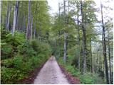 2
2 3
3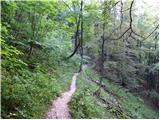 4
4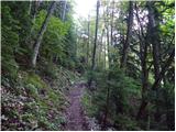 5
5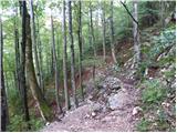 6
6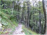 7
7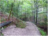 8
8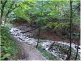 9
9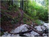 10
10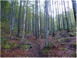 11
11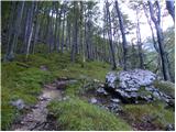 12
12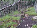 13
13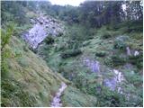 14
14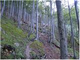 15
15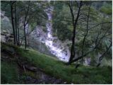 16
16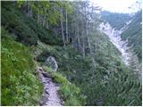 17
17 18
18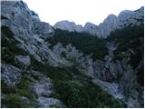 19
19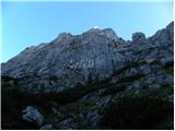 20
20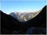 21
21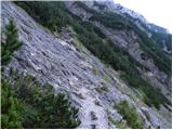 22
22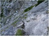 23
23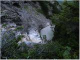 24
24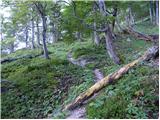 25
25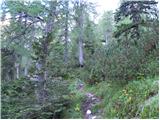 26
26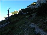 27
27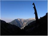 28
28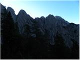 29
29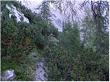 30
30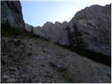 31
31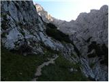 32
32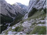 33
33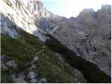 34
34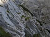 35
35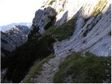 36
36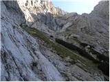 37
37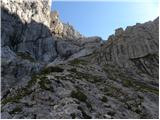 38
38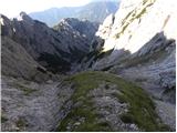 39
39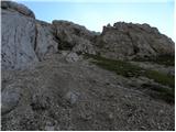 40
40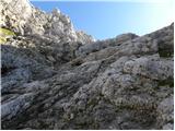 41
41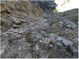 42
42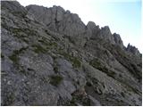 43
43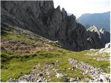 44
44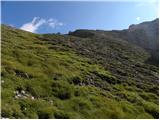 45
45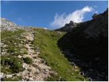 46
46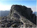 47
47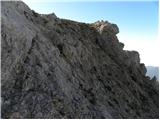 48
48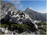 49
49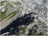 50
50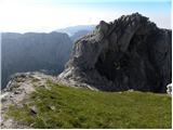 51
51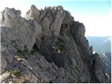 52
52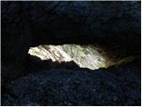 53
53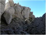 54
54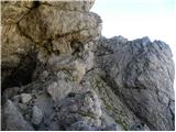 55
55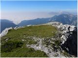 56
56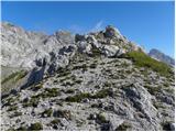 57
57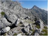 58
58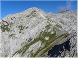 59
59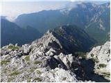 60
60 61
61
Discussion about the trail Jermanca - Najvišji rob (Zeleniške špice) (via Repov kot)
|
| ljubitelj gora24. 05. 2016 |
V nedeljo 22.5 iz Jermance odpravil na greben Zeleniških špic, ker družbe nisem dobil sem bil solo. Do Staničevega vrha srečal nekaj gornikov, do vrha je potrebno splezat II.stopnjo. S Staničevega vrha prosto splezal v škrbino in po vseh špicah proti najvišjemu vrhu. Nekje na 3/4 grebena se pojavi sidrišče in tam se lahko samo abzajla, zato se samo malo vrne in na primernem mestu spleza na levo stran (nad Repovim kotom, slika 9), ena dobra dvojka. V nadaljevanju pa ni več težav. Skala je dobra in res je eden lepših grebenov pri nas. Vrnil se po opisani zgornji poti, kjer je bilo še dosti snega, zato sem uporabil zimsko opremo. Nekaj slik: https://picasaweb.google.com/114400986607884783562/6287633346086042657
|
|
|
|
| matos4df13. 10. 2019 |
Danes sem na poti nazaj ob tolmunu pozabil modro Camp čelado. V kolikor jo najde prijazen planinec, mi lahko na 031771987 (ali ZS) sporoči, kje mu lahko dam vsaj za pivo.
|
|
|
|
| Turbolazec15. 07. 2020 |
v nedeljo grem po tej poti, pa me zanima ce gre se kdo da bi se mu lahko pridruzil in imam druzbo? Lp
|
|
|