Jeršiče - Baba (at Javorniki)
Starting point: Jeršiče (650 m)
| Lat/Lon: | 45,7748°N 14,2305°E |
| |
Time of walking: 1 h 30 min
Difficulty: easy unmarked way
Altitude difference: 435 m
Altitude difference po putu: 450 m
Map: Snežnik 1:50.000
Recommended equipment (summer):
Recommended equipment (winter): ice axe, crampons
Views: 5.410
 | 1 person likes this post |
Access to the starting point:
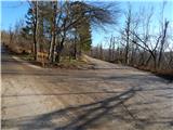
a) From the motorway Koper - Ljubljana, take the exit Postojna and then drive towards the centre of Postojna. In the above-mentioned place you will see signs for Pečna reber and the railway station, which will direct you to the right, and then about 200 m before the railway station turn left (the junction is not marked) onto the road, which will soon take you over the motorway. On the other side of the motorway we come to a crossroads where the road to Stara vas branches off to the right, and we continue in the direction of Javornik and Svete Trojice. A little further on, by the NOB monument, the road to Pečni ribra branches off to the left, and we park here in a suitable place.
b) From the motorway Ljubljana - Koper, take the exit Unec, then continue towards Unec and Cerknica. At Unec, leave the main road towards Cerknica and turn right in the direction of Postojna. Continue along a slightly narrower road which runs parallel to the motorway. After a few kilometres, when you pass through the underpass and reach the other side of the motorway, go straight on at the first junction. Once back on the original side of the motorway, turn left at the junctions towards Pečná Ribra and Svete Trojice. When you soon reach a crossroads where the road to Pečná ribra branches off to the left and the road to Sveta Trojica continues to the right, you will see the NOB (National Liberation) Memorial between the two roads. Park in a suitable place near the crossroads.
Path description:
From the starting point at the small NOB memorial park, continue along the road slightly to the right in the direction of Svete Trojice. We continue along the macadam road, from which soon a marked path branches off slightly to the right, initially the road towards Sveta Trojica, and we continue along the upper road, which leads along the foot of Javornik. We continue walking for some time along the gently ascending road, which after a while leads us to a marked crossroads, where the road and the marked path to Javornik branches off to the left, and we continue straight ahead, along the road that is no longer marked, which gradually turns into a valley between the ridge Javornik on the left and Baba on the right. As we walk along the road, we see a larger karst hollow on the left called Javornik Kolisevka. A little further on, the road is completely laid out and leads to the next marked crossroads, at which there is an old well.
From this crossroads, continue to the right, along the road, which begins to descend slightly, and after a few steps to the right, on an unmarked but well-traced path, which continues quite gently for the first few steps, and then begins to climb straight up the slope. A few minutes of cross-country climbing follow, and then you arrive at the unmarked ridge of Baba, where you continue to the right, following the scenic path, which, in a few minutes of gentle to moderate climbing, ascends to a vast and scenic grassy summit.
Description and pictures refer to the situation in 2015 (December).

Pictures:
 1
1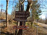 2
2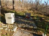 3
3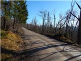 4
4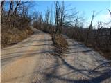 5
5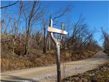 6
6 7
7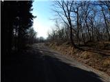 8
8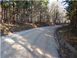 9
9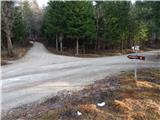 10
10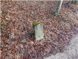 11
11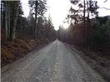 12
12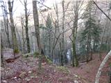 13
13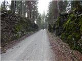 14
14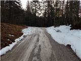 15
15 16
16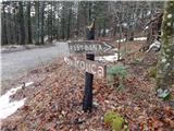 17
17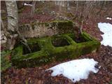 18
18 19
19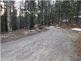 20
20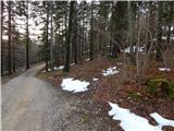 21
21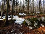 22
22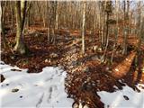 23
23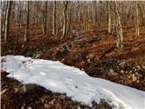 24
24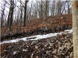 25
25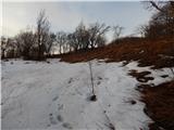 26
26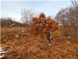 27
27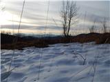 28
28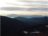 29
29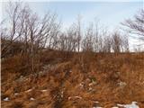 30
30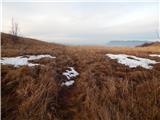 31
31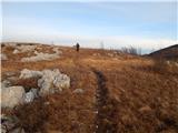 32
32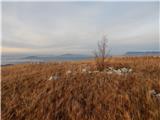 33
33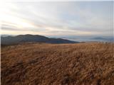 34
34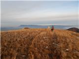 35
35 36
36 37
37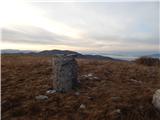 38
38 39
39
Discussion about the trail Jeršiče - Baba (at Javorniki)