Jeršiče - Mali Javornik (Javorniki)
Starting point: Jeršiče (650 m)
| Lat/Lon: | 45,7748°N 14,2305°E |
| |
Time of walking: 1 h 50 min
Difficulty: easy marked way
Altitude difference: 569 m
Altitude difference po putu: 580 m
Map: Snežnik 1:50.000
Recommended equipment (summer):
Recommended equipment (winter): ice axe, crampons
Views: 2.430
 | 1 person likes this post |
Access to the starting point:
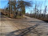
a) From the motorway Koper - Ljubljana, take the exit Postojna and then drive towards the centre of Postojna. In the above-mentioned place you will see signs for Pečna reber and the railway station, which will direct you to the right, and then about 200 m before the railway station turn left (the junction is not marked) onto the road, which will soon take you over the motorway. On the other side of the motorway we come to a crossroads where the road to Stara vas branches off to the right, and we continue in the direction of Javornik and Svete Trojice. A little further on, by the NOB monument, the road to Pečni ribra branches off to the left, and we park here in a suitable place.
b) From the motorway Ljubljana - Koper, take the exit Unec, then continue towards Unec and Cerknica. At Unec, leave the main road towards Cerknica and turn right in the direction of Postojna. Continue along a slightly narrower road which runs parallel to the motorway. After a few kilometres, when you pass through the underpass and reach the other side of the motorway, go straight on at the first junction. Once back on the original side of the motorway, turn left at the junctions towards Pečná Ribra and Svete Trojice. When you soon reach a crossroads where the road to Pečná ribra branches off to the left and the road to Sveta Trojica continues to the right, you will see the NOB (National Liberation) Memorial between the two roads. Park in a suitable place near the crossroads.
Path description:
From the starting point at the small NOB memorial park, continue along the road slightly to the right in the direction of Svete Trojice. We continue along the macadam road, from which soon a marked path branches off slightly to the right, initially the road towards Sveta Trojica, and we continue along the upper road, which leads along the foot of Javornik. In the following we walk for some time on a slightly ascending road, which leads us after a while to a marked crossroads, where a road branches off to the left and a marked path towards Javorniki.
Continue along the road, then at the first left turn continue right into the forest, on a marked footpath which begins to climb moderately to steeply. During the ascent, at a few small crossroads, follow the markings, then return to the road and follow it to the right. Walk along the road for a few minutes, then the signs for Mali Javornik direct you left, initially to cart track, which begins a moderate climb. After a short climb on cart track, the signs direct us left on the marked path, which is damaged or covered with branches due to the December 2014 thaw. After passing through the lane of fallen trees, you emerge from the forest, where the path leads you past a small bench, from which you have a beautiful view of the surrounding hills. A little beyond the bench, the path turns right, and then a slight ascent quickly leads us to a mostly wooded summit.
Description and pictures refer to the situation in 2015 (December).

Pictures:
 1
1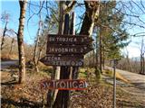 2
2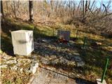 3
3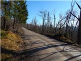 4
4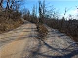 5
5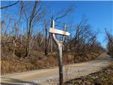 6
6 7
7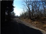 8
8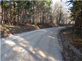 9
9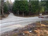 10
10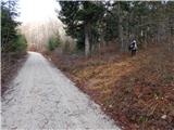 11
11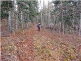 12
12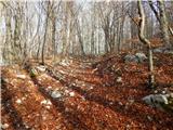 13
13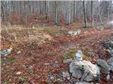 14
14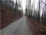 15
15 16
16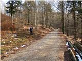 17
17 18
18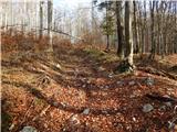 19
19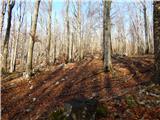 20
20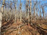 21
21 22
22 23
23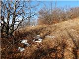 24
24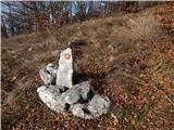 25
25 26
26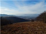 27
27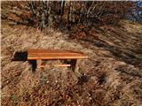 28
28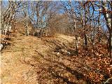 29
29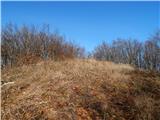 30
30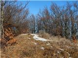 31
31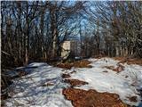 32
32
Discussion about the trail Jeršiče - Mali Javornik (Javorniki)
|
| bizgo9322. 04. 2021 13:29:14 |
Lep pohod. Kot je zgoraj omenjeno se pot ob rahlem vzpenjanju po makadamski cesti precej vleče (kakšne 4 km). Se pa ta takoj po križišču, ki nas vodi proti Malemu in Velikemu Javorniku precej strmo vzpne v gozd, se malce zravna ko znova dosežemo makadam ter se nato 500 m pod vrhom (naravnost bi šli proti V. Javorniku) znova strmo vzpne.
Ob poti večjih razgledov zaradi mogočnega gozda (večinoma bukev, javor, smreka in jelka) ni, vendar je izlet zaradi zavetja (predvsem poleti) vseeno poseben. Medveda ni bilo na spregled (tudi stopinj ne). Pod vrhom so tudi velika polja čemaža, ki je zaradi višje lege tu začel poganjati šele zdaj.
Iz vrha označenega s kamnom (vpisne skrinjice in žiga ni) pogled seže proti grebenu Javornikov, skozi gozd se zdaj ko še ni listja rahlo vidi tudi del Cerkniškega polja. Najlepši pogled pa je iz travnika kakšnih 100 m pod vrhom s katerega se nam odpre krasen pogled proti Snežniku, Volovji rebri, Postojnski in Pivški kotlini, Sveti Trojici, Vremščici, Čičariji in Nanosu.
Zelo zanimiv izlet.
|
|
|