Jesenice (Straža) - Španov vrh (via Jelenkamen)
Starting point: Jesenice (Straža) (560 m)
| Lat/Lon: | 46,429°N 14,0825°E |
| |
Name of path: via Jelenkamen
Time of walking: 2 h 30 min
Difficulty: easy unmarked way
Altitude difference: 774 m
Altitude difference po putu: 774 m
Map: Karavanke - osrednji del 1 : 50.000
Recommended equipment (summer):
Recommended equipment (winter): ice axe, crampons
Views: 6.115
 | 2 people like this post |
Access to the starting point:
From the motorway Ljubljana - Jesenice take the exit Lipce, where you turn right towards Jesenice. In the Slovenski Javornik settlement, at the junction with the traffic light, turn left towards the town centre. At the second traffic lights (by the gymnasium) turn right, back towards Tomšičeva cesta, passing the primary school on the left. Drive for another 2. 5 km to the end of Tomšičeva Street, or to where the last bus stop is located at the bottom of the incline by the railway line. Here is a large parking lot, or our starting point.
Path description:
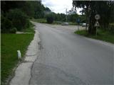
From the parking lot, follow the tarmac road uphill, where just below the summit you will see a track on your left, which you can step onto and follow in the direction of the gardens on your left. Immediately you come into the vicinity of the residential buildings on your left, where you cross the short cart track (leading to the nearby water reservoir on your right). The track now climbs slightly towards the power line, which you quickly reach. Here turn right uphill to the east along a dirt track.
Soon reach another power line, where the path turns left into a short copse (in the summer time you come across a wire fence), after which you enter an east-west (hunting) track. Turn left (west) across a pasture, at the end of which you see a small bench, and we continue right here, steeper uphill. Soon the steepness eases, and the path turns left towards an exposed rocky "baba", where we can enjoy the view.
Continue into the deciduous forest (heading west), where the path crossing the slope first descends slightly and then leads to a forest levelling. Here, among the ferns, you come to the edge of the ferns, where there is a small crossroads. Continue right along the edge, and after about 40 m you will come to another crossroads (left fork), where you continue straight uphill. Initially a wider forest path, it soon turns right and narrows. It continues up the forest slope in switchbacks. After a while, at the top of the eastern ridge of Jelenkamn, the trail flattens out a bit and continues straight uphill to the north. Soon (at a fallen tree) the path turns sharp left, where it first crosses a slightly steeper slope, and then leads to a partially open place, where we are offered a view of the Julian Mountains, and the main lookout point of Jelenkamn, which lies just 100 m below its summit. Here the path turns right, steeply uphill (take care when descending in the wet!), but it doesn't take long. As the path lays down and points slightly to the left, you will notice various markings on the trees. Soon the path climbs up the eastern slope in a NW slope for the last time towards the top of Jelenkamn. After a few minutes, when you reach the top, turn right (left Jelenkamen) to the NW. A few minutes' walk along the marked path of the forest ridge, then, when it descends a little, we come to a crossroads: right Pristava, left rovt Dole, straight the hunting path to Lenčkov Špik. Choose the last one and follow it up in the same direction from which you came. After a short time, when the trail descends a little, you will come across a right fork, where you will head and leave the marked hunting trail. The path which crosses the rather steep slope of Lenčkovo Špik, leads us shortly to Lenčkovo rovt. Here, take the cart track, which descends slightly at first and then, at a fork, take the left one and climb moderately over and along the pastures until it ends at the forest road Prihodi - Križovec. Bear right and walk along this road for a further 10 minutes, then you will come across cart track on the left, which leads into the woods to the NW (there is a small parking lot on the right-hand side of the road). Bear right and take the marked path Pristava - Črni vrh. Only a little further on, the path reaches a small undistinguished precipice, after which it starts to descend gradually. At the point where the path turns left and then climbs slightly, cross the stream (Ukova on the left). After a short, moderate climb, just before leaving the forest at the crossroads, turn right, or take the path that leads straight ahead. When you reach a grassy slope, take the ascending cart track on your right and leave the marked path (before re-entering the forest). Cart track, which fades away towards the top of the increasingly scenic slope, leads us to a large pass just below Španov vrh on our right (here we get a view towards Golica). There is only a short climb along the edge of the ski slope to the top station of the Španov vrh chairlift.

Pictures:
 1
1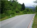 2
2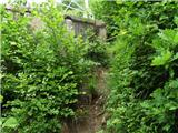 3
3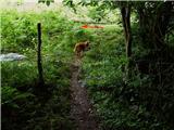 4
4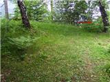 5
5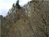 6
6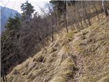 7
7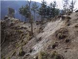 8
8 9
9 10
10 11
11 12
12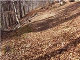 13
13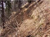 14
14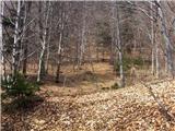 15
15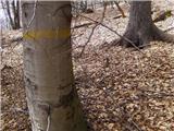 16
16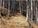 17
17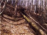 18
18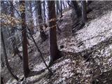 19
19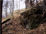 20
20 21
21 22
22 23
23 24
24 25
25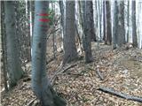 26
26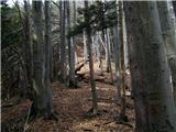 27
27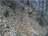 28
28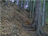 29
29 30
30 31
31 32
32 33
33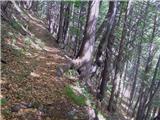 34
34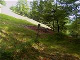 35
35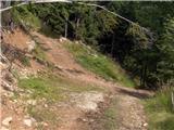 36
36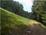 37
37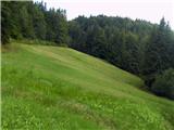 38
38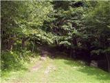 39
39 40
40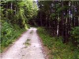 41
41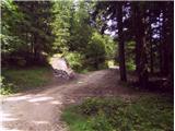 42
42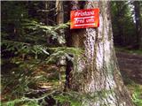 43
43 44
44 45
45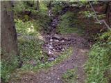 46
46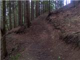 47
47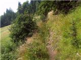 48
48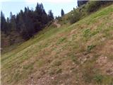 49
49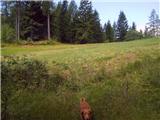 50
50 51
51 52
52
Discussion about the trail Jesenice (Straža) - Španov vrh (via Jelenkamen)
|
| Majdag10. 04. 2011 |
...Ojla, danes sva šli z mojo Iro čez Jelenkamen na Španov vrh. Samo nisva šli čez L. rovt, ampak čez L. Špik.Nazaj pa sva se vračale čez sedem grabnov. Tam pa se končno nekaj dogaja. Nov mostiček, malo pred klini, pa požagana debla in narejene stopničke. Tudi sam konec poti je nekaj spremenjen, samo se pot slabo vidi. Tako, da sem danes imela srečo, lep dan, dobra pot, pa še razgledi na Španovem vrhu so bili čudoviti. Aja še to, Heinz a si mogoče že šel iz L. Špika na levo, po grebenu, me zanima kje prideš dol. Pa lep pozdrav Majda  
|
|
|
|
| heinz10. 04. 2011 |
Pozdravljena Majda!
Torej prinašaš dobre novice v zvezi s sedmimi grabni.. Tudi mene veseli, da se končno tu nekaj dogaja!
Kateri greben imaš v mislih -v levo od L.Špika-, oz iz katere strani gledano, pa žal ne vem. Če mogoče misliš grapo oz dolino, bi bilo lahko -skozi Dole-...ta gre iz Dol pod L.Špikom proti Kalvariji. Ta pot mi ni ravno lepa.
Je pa en greben (širok gozdni) gledano v smeri od L.Špika proti Šp.vrhu. Ta je brez imena, čezenj pa poteka označena (najbrž lovska) trasa. Pripelje do markirane poti Pristava - Črni vrh. Bolje in hitreje pa je, če namesto tega izbereš 10 min hojo po gozdni cesti na njegovi desni (zg opis) itd..
Srečno ! heinz
|
|
|
|
| Majdag11. 04. 2011 |
Heinz, ja, gledano iz smeri L. Špik -Š. vrh. Lani sem videla nekoga, ki je lavfal v to smer. Pa mi je rekel, če ne poznam poti, je bolje, da ne grem, pa me mika. Drugače pa pot skozi Dole poznam. Hvala, pa lep dan,  čav Majda
|
|
|
|
| heinz12. 04. 2011 |
Z ozirom na to, Majda, da sprašuješ -kje prideš dol- sklepam, da sprašuješ po grabnu,- ne grebenu.. Ko se z Lenčkovega Špika spustiš na gozdno cesto Prihodi - Križovec, na levi izza ovinka opaziš dolino (graben), na drugi strani pa del hriba Sušje -1105, ki od tam izgleda kot nek greben. V omenjen graben ali dolino se lahko spustiš po gozdu, pri čemer najprej naletiš na zgornji del Jesniškega rovta -1050, nižje jz,popoti skozi gozdič pa še na spodnjega. Na njegovem zahodnem robu naletiš na potok (levi rokav Ukove), ob katerem poteka pot v dolino (moj opis najdeš tule: http://www.hribi.net/izlet/jesenice_ukova_spanov_vrh_/11/1231/2472 Lažja in bolj zanesljiva varianta pa je po cesti: hodiš cca 15-20 min, nakar za manjšim ličnim rovtom z vikendico na desni naletiš na oster odcep g. ceste, v levo (nazaj).Ta te privede na sp del Jeseniškega rovta. Po desni strani potoka se spustiš v gozd in nadaljuješ po dokaj zanimivi poti mimo prek 100 let starega vodnega zajetja, mimo slapu in po proti koncu dokaj strmi poti do mostičkov čez obe Ukovi v spodnejm delu. Pot se konča na kolovozu med obema mostičkoma. Enkrat sem tudi poizkušal malo pod vrhom L.Š. levo v smeri kot navajaš, po neki poti proti dolini, a se je ta dokaj hitro končala, zato sem obrnil nazaj gor. Če slučajno nič od tega nisi imela v mislih, me seveda lahko znova vprašaš.. Ves ta konec mi je dokaj poznan. Lp! h
|
|
|
|
| Majdag12. 04. 2011 |
Ojla, hvala za opise. Pot mimo starega vodnjaka poznam, sem že šla večkrat. Dobro, da tako dobro poznaš vse te kraje, mi pride prav na mojih potepih. Hvala Heinz, pa srečno  Majda
|
|
|
|
| Jusk22. 10. 2019 |
Sicer nisem šel ravno po tej opisani poti,ampak iz Ukove na Jelenkamen,pa mimo vikend naselja v Javorniškem rovtu po markirani poti proti Črnemu vrhu,pred Črnim vrhom pa po poti direkt na Španov vrh. Pot je vredu,razen od tam naprej ko se prečka cesto Prihodi-Križovec je kar blatna. Vreme pa lepo in (pre)toplo za ta čas  povratek po cesti proti Prihodom in mimo Zg.Pejc na Jesenice
|
|
|