Jezero - Sveti Lovrenc (Jezero)
Starting point: Jezero (290 m)
| Lat/Lon: | 45,9711°N 14,4343°E |
| |
Time of walking: 5 min
Difficulty: easy unmarked way
Altitude difference: 39 m
Altitude difference po putu: 39 m
Map: Ljubljana - okolica 1:50.000
Recommended equipment (summer):
Recommended equipment (winter):
Views: 4.753
 | 1 person likes this post |
Access to the starting point:
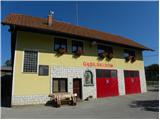
a) From the motorway Ljubljana - Koper, take the exit Brezovica, from where you turn left along the old road towards Vrhnika. While still in Brezovica, you will see signs for Podpeč, which will direct you to the left. Continue through Vnanje and Notranje Gorice to Podpeča, where at the crossroads turn left towards the village of Jezero. Follow the road through the village for a few 100 m, then on your left you will see a fire station, near which you should park in a suitable space (park in such a way that you do not obstruct the access to the garage door of the fire station).
b) From Ljubljana, take the road to Črna vas and then continue to Podpeč, where you will join the road from Brezovica. In Podpeč, turn left again (direction Jezero). Continue for another 100 m, then you will see a fire station on your left, near which you should park in a suitable space (park in such a way as not to obstruct access to the fire station garage door).
Path description:
From the fire station, continue along the asphalt road towards Tomišelj, walking along it for only 10 m, and then turn left at the electricity pylon onto the dirt road, which passes a nearby residential house on the left-hand side. Cart track then turns into a grassy hillside, over which, with beautiful views of the Ljubljana Marshes and the surrounding hills, you can walk in a few minutes to the Church of St. Lawrence.
Pictures:
 1
1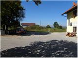 2
2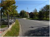 3
3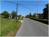 4
4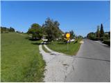 5
5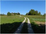 6
6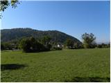 7
7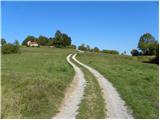 8
8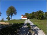 9
9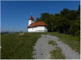 10
10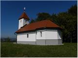 11
11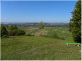 12
12
Discussion about the trail Jezero - Sveti Lovrenc (Jezero)