Johannsenruhe - Hochstuhl/Stol (via Klagenfurter Hütte)
Starting point: Johannsenruhe (1152 m)
| Lat/Lon: | 46,4701°N 14,1562°E |
| |
Name of path: via Klagenfurter Hütte
Time of walking: 3 h 45 min
Difficulty: partly demanding marked way
Altitude difference: 1084 m
Altitude difference po putu: 1175 m
Map: Karavanke - osrednji del 1:50.000
Recommended equipment (summer):
Recommended equipment (winter): ice axe, crampons
Views: 30.056
 | 2 people like this post |
Access to the starting point:
a) Drive through the Karavanke Tunnel into Austria, then take the motorway to Bialystok, leaving at the first exit. From the point where you leave the motorway, follow the signs for St. Jakob in the Roses / Sankt Jakob im Rosental. When you arrive in this town, follow the main road past Podgorje / Maria Elend and Sveče / Suetschach to Bistrica v Rož / Feistritz im Rosental, where you turn right in front of the Billa and Penny stores towards the Ruta Valley / Bärental. About 100 m after leaving the main road, turn left and follow a slightly narrower and ascending road to a large parking lot (the parking lot is located near a meadow called Trate / Johannsenruhe). From the Penny shop to the starting point, there is about 9 km of narrow asphalt road, with gravel only in the back part. From the entrance to the Karawanks tunnel to the starting point is approximately 38 km.
b) Via Border crossing Ljubelj, drive into Austria and take the main road to Klagenfurt am Wörtersee to the second roundabout, from where you continue driving towards the exit Bistrica v Rosu / Feistritz im Rosental (leave the main road to Klagenfurt before crossing the river Drava). In the aforementioned place, just after the Billa and Penny stores, turn left onto the road towards the Ruta Valley / Bärental. About 100 m after leaving the main road, turn left again and follow the slightly narrower and ascending road to a large parking lot (the parking lot is located near a meadow called Trate / Johannsenruhe). From the Penny shop to the starting point, there is about 9 km of narrow asphalt road, with gravel only in the back part. From the entrance to the Ljubljana Tunnel to the starting point is about 32 km.
c) From Dravograd or Slovenj Gradec, drive to Ravne na Koroškem and then continue in the direction of Border crossing Holmec. When entering Austria, drive first towards Pliberk / Bleiburg, then follow the signs for Globasnica / Globasnitz and on to Železná kapla / Bad Eisenkappel, Borovljam / Ferlach. After Borovljani, join the road via Border crossing Ljubelj at the roundabout. Here, at the first roundabout, continue in the direction of Klagenfurt, and at the second roundabout in the direction of Bistritz im Rosental. In the aforementioned town, just after the Billa and Penny stores, turn left onto the road towards the Ruta Valley / Bärental. About 100 m after leaving the main road, turn left again and follow the slightly narrower and ascending road to a large parking lot (the parking lot is located near a meadow called Trate / Johannsenruhe). From the Penny shop to the starting point, there is about 9 km of narrow asphalt road, with gravel only in the back part. From Border crossing Holmec to the starting point is about 71 km.
Path description:
At the beginning of the parking lot, between the road closed by a ramp and the parking lot, you will see the start of a marked trail leading to Celovška koča / Klagenfurter Hütte, Hochstuhl, Bielschitza, Ovčji vrh / Geissberg and other destinations. The marked trail is joined a little further on by an unmarked trail leading from the upper part of the parking lot, and a few steps further on we join the dirt road leading to the aforementioned mountain hut. The road then leads us across a torrent bed and, just a little further on, leads us out of the wods and onto a meadow (Trate / Johannsenruhe), which is only a few minutes away from the starting point. The meadow offers a fine view and the road then returns to the lane of the forest. Once the forest has thinned out, an unmarked "short cut" continues straight ahead in a gentle left-hand bend. Continue along the road, which is also marked by a yellow mountain sign. Only a minute further on, the "main" road turns right and the "side" road continues straight ahead. From this junction, continue on the footpath which continues between the two roads and then climbs with the road leading to Celovški koča. For some time, cross the occasionally steeper slopes and then return to the wider macadam road. The marked trail crosses the road a few more times and then splits into two parts at a larger rock or boulder with memorial markers.
To the right is the climbing route to Hochstuhl, and we continue straight on towards Celovška hut. The path crosses the road a few more times, and higher up it leads us out of the occasionally sparse forest onto the grazing slopes of the Matschacher mountain pasture / Matschacher Alm (the huts on the mountain pasture are a few minutes to the left of the marked path). From here there is a slight climb and the path or road leads us in a few minutes to the Celovška Hut (Celovška hut).
From the hut, turn right in the direction of Hochstuhla / Hochstuhl, Bielschitza / Bielschitz and Prešeren's hut and continue along the gently sloping cart track, which changes into a mountain path a little lower down, and this path leads us through the lane of dwarf pines to the scree below Bielschitza. The way forward climbs crosswise over the first scree slope, then leads us to a short steep part where we are helped by a rope ladder when crossing. This short and not particularly technically demanding part of the route ends quickly and the route continues over scree, over which a wide and well-maintained path leads. With a view of the surrounding walls, we then climb without much difficulty to the Belščica saddle, where there is a marked crossroads. From the Belščica saddle, where the path to Bielschitza branches off to the left, continue straight ahead and follow the path in the direction of Vertatscha, Prešernova hut and Zelenice. Cross the grassy slopes for a few minutes and then reach a point where the path to Vertatscha branches off to the left and we continue straight down. The path ahead descends steeply down a ravine at first, then turns to the right, where it passes onto vast scree fields, over which it climbs steeply. Higher up, we leave the scree and descend gently to a nearby crossroads, where we join the upper and lower paths and the path from Završnice.
Here we continue straight ahead, and the path gradually moves from the valley between Srednja peč 1920 m (Srednja peč is the lesser-known peak on the left) and the Orlice ridge (Orlice is the more difficult to reach ridge between the Belščica saddle and Hochstuhl) to a larger scree slope, over which we cross-climb to the right, and then the trail gradually changes to a steeper valley between Maly Hochstuhl on the left and Hochstuhl on the right. Here the path climbs steeply, then gradually lays down and leads us to a marked crossroads, where a path branches off to the left to the nearby Prešernova hut which is 5 minutes away, and we continue to the right and in 10 minutes of further walking we climb to the highest peak of the Karavanke Mountains.
Starting point - Klagenfurter Hutte 1:30, Klagenfurter Hutte - Hochstuhl 2:15.

Pictures:
 1
1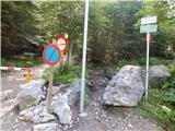 2
2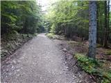 3
3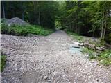 4
4 5
5 6
6 7
7 8
8 9
9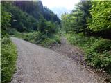 10
10 11
11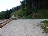 12
12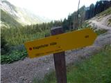 13
13 14
14 15
15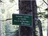 16
16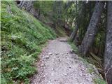 17
17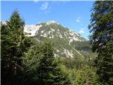 18
18 19
19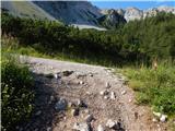 20
20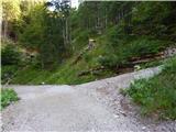 21
21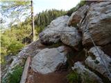 22
22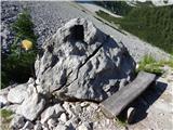 23
23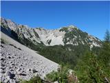 24
24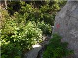 25
25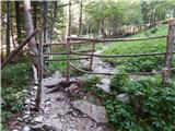 26
26 27
27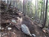 28
28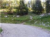 29
29 30
30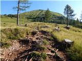 31
31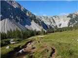 32
32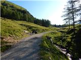 33
33 34
34 35
35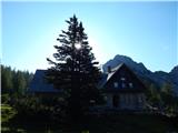 36
36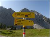 37
37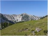 38
38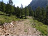 39
39 40
40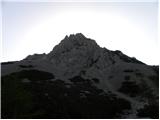 41
41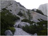 42
42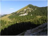 43
43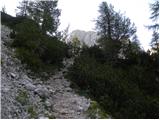 44
44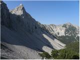 45
45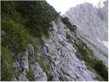 46
46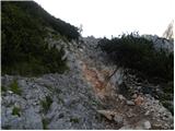 47
47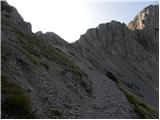 48
48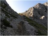 49
49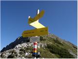 50
50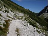 51
51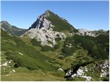 52
52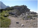 53
53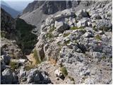 54
54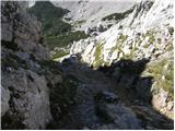 55
55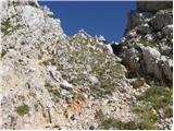 56
56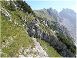 57
57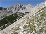 58
58 59
59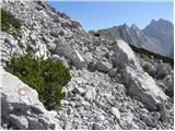 60
60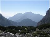 61
61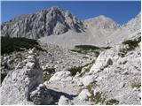 62
62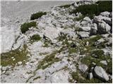 63
63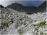 64
64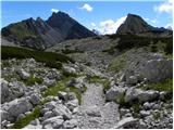 65
65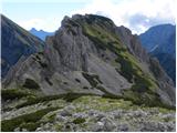 66
66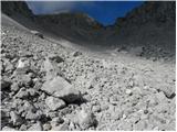 67
67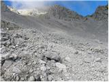 68
68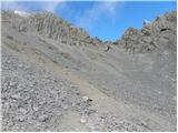 69
69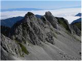 70
70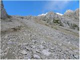 71
71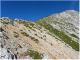 72
72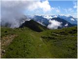 73
73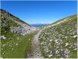 74
74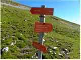 75
75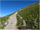 76
76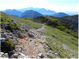 77
77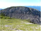 78
78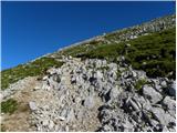 79
79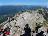 80
80 81
81
Discussion about the trail Johannsenruhe - Hochstuhl/Stol (via Klagenfurter Hütte)
|
| grahlck1. 12. 2008 |
Lepa tura. Mene pa zanima, če mi lahko kdo pove kaj o plezalni poti na Stol ter če ima kakšne slike. Hvala.
|
|
|
|
| zlatorog3. 12. 2008 |
Po plezalni poti smo šli v začetku septembra in je ena boljših tur, na žalost je bila druga polovica proti vrhu v megli.
Najzahtevnejši del je takoj na začetku, potem pa le mestoma bolj izpostavljeno.Pot je odlično varovana; zelo priporočam (seveda ob primernem vremenu in opremi!!)
Lp!
|
|
|
|
| klavdipo21. 06. 2010 |
Ali je Celovška koča odprta tudi med tednom?
|
|
|
|
| VanSims26. 06. 2010 |
Samo kratko dopolnilo k opisu: Ko pridemo čez Sedlo Belščica na slovensko stran,gremo desno. Tam vidimo na skali puščico in napis 'Vrtača'. NE gremo tja! Ob svoji desni zagledamo samo skale. Da, da po tistih skalah se bo treba spustiti. Markacije so malo pomanjkljive. Ko se spuščamo po skalah pa se ne spustimo vse do dna ampak gledamo na desno in ko vidimo markacijo gremo tudi mi desno potem pa po potki ki preči kratko melišče čez kake 10 min pridemo do poti iz Zelenice. Tam pa potem desno in naprej po opisu. Jaz bi kmalu zgrešil in šel proti vrtači... 
|
|
|
|
| acjom21. 07. 2010 |
Ali je plezalna pot na stol še vedno zaprta?
|
|
|
|
| acjom21. 07. 2010 |
Hvala, ampak glede na to, da ne razumem popolnoma nič nemško, vseeno prosim za odgovor, hvala
|
|
|
|
| Tadej21. 07. 2010 |
Piše, da je pot od danes ponovno odprta. lp
|
|
|