Jurišče - Bele stene (eastern way)
Starting point: Jurišče (704 m)
| Lat/Lon: | 45,6642°N 14,295°E |
| |
Name of path: eastern way
Time of walking: 1 h
Difficulty: easy marked way
Altitude difference: 159 m
Altitude difference po putu: 159 m
Map: Snežnik 1:50.000
Recommended equipment (summer):
Recommended equipment (winter):
Views: 9.138
 | 3 people like this post |
Access to the starting point:
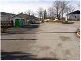
From the motorway Ljubljana - Koper take the exit Postojna and follow the road towards Pivka. In Pivka, leave the main road leading to Ilirska Bistrica and continue towards Knežak. Follow this road to the village of Parje, where you turn left towards the villages of Palčje and Jurišče. Follow the road, which ascends gently, to the village of Jurišče, where you will park near an information board.
Path description:
From the parking lot, continue past the small memorial park along the road towards Kršičevec. The road, which soon loses its asphalt coating, quickly leads to a small crossroads, where you continue along the lower left road (there is a small cross on the right-hand side of the road), which continues along the left-hand side of the fence. Just a little further on, you will come to a well-marked crossroads where the path to Bele stene and Spodmol (straight Kršičevec) branches off to the left.
Continue towards Bele stene along cart track, which crosses extensive grassy slopes. Cross a smaller dirt road ahead and only a little later come out on another wider dirt road which you follow to the right. Follow this road for only a few steps, as the signs soon direct you to the left to cart track, which initially climbs parallel to the road and then passes at the foot of Mount Jerusi, on which Bele stene and Spodmol are located.
After a few minutes of further walking, the markings direct us slightly further to the left on a rather overgrown footpath which begins to climb through a dense forest. Higher up, we come to a small clearing on which the path continues steeply upwards. At the top of this climb, you come to the abandoned cart track which you follow in a slight descent to the right. Just a little further on, however, the markings direct us sharp left on the path, which again begins to climb steeply and then quickly leads us to Spodmol. Just a few metres further on we reach the cave of the same name, and then continue our ascent along a relatively gently sloping path which, after a few minutes of further walking, leads us to the White Walls lookout point.

Pictures:
 1
1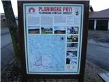 2
2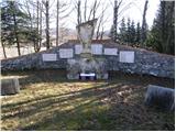 3
3 4
4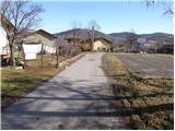 5
5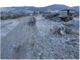 6
6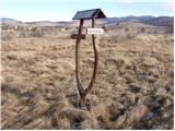 7
7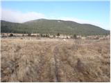 8
8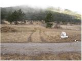 9
9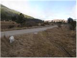 10
10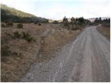 11
11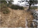 12
12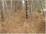 13
13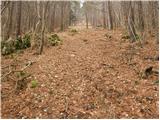 14
14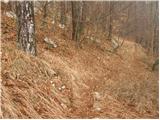 15
15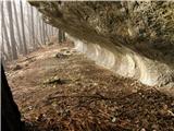 16
16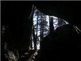 17
17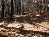 18
18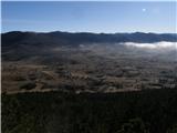 19
19 20
20
Discussion about the trail Jurišče - Bele stene (eastern way)
|
| Tadej27. 01. 2009 |
Če ste obiskali Kršičevec in vam je ostalo še nekaj časa, se splača narediti kratek ovinek in se povzpeti še na Bele stene.
|
|
|
|
| gdbl23. 02. 2009 |
Lep družinski izlet. Uživali smo v samoti. Prvotni načrt je bil, da se vzpnemo na Kršičevec, a smo zaradi vetra raje zavili na Bele stene, ker gre pot večinoma po gozdu.
Bojan
|
|
|
|
| lidijah27. 12. 2015 |
Bili v nedeljo tam,izlet bi bil lep,a planinska pot je neprehodna zaradi posutega drevja,ko pot zavije v gozd ni markacij,so šele proti vrhu,jame in spodmola nismo videli,pot naj bi bila krožna a se tudi na vrhu kmalu markacije izgubijo,ob povratku v vas pa sta nas spremljala 2 velika psa z bližnje kmetije,kar ni bilo nič prijetno,očitno imajo na Jurščah domačini kar spuščene pse!!!
|
|
|
|
| acti6. 04. 2020 |
Včeraj samoten sprehod na Bele stene.Pot odlično označena:vzpon po vzhodni,nazaj po zahodni poti.Dobra stran korone:spoznavamo neznane poti v svojih občinah...
|
|
|
|
| bizgo9324. 02. 2021 |
Včeraj sva bila s partnerico prvič na Belih stenah. Priporočam krožno pot po vzhodni poti navzgor ter po zahodni navzdol. Ko pot preide iz travnika v gozd je ta na nekaj mestih deloma zaraščena (nič preveč hudega), vendar odlično markirana. Ob poti izstopajo predvsem čudovit borov gozd, kraški spodmol ter jama z istim imenom ter sam vrh z lepim pogledom na jurščansko dolino, Kršičevec in okoliške hribe ter Snežnik. Vrh ima tudi žig in vpisno skrinjico.
|
|
|