Starting point: Kamen (889 m)
| Lat/Lon: | 45,8868°N 14,5325°E |
| |
Time of walking: 40 min
Difficulty: easy marked way
Altitude difference: 170 m
Altitude difference po putu: 170 m
Map:
Recommended equipment (summer):
Recommended equipment (winter):
Views: 10.508
 | 2 people like this post |
Access to the starting point:
From the southern Ljubljana ring road, take the Ljubljana - Rudnik exit and continue towards Ig. At the roundabout at Igo, turn "left" (direction of exit Kurešček) and then after a few 100 m make a sharp right uphill (again direction Kurešček). Continue along a relatively wide and ascending road, which is then followed through the villages of Škrilje and Golo. Higher up, the road levels out a little and soon leads into the forest, where we become alert. We soon see signs for the Old Sawmill along the road, but from here we follow the main road for just over 100 m to the next turning to the right. Continue along the forest road, following it straight ahead at the first crossroads, and then sharp right at the second crossroads, where you will also see some planned direction signs. Continue along the cross-climbing road, which turns slightly to the left at a higher level and then, after a short descent, leads to a crossroads of several roads. Park in one of the roadside car parks near this junction.
Path description:
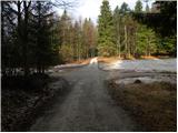
At the crossroads, continue straight ahead (as seen from the route of the described access to the starting point) and follow the forest road as it climbs gently through the forest. After about 15 minutes of walking, you will reach a marked crossroads, where you will take a sharp right in the direction of "vrh Mokrca". Continue up the slightly steeper road, which continues through the more or less dense forest. Higher up, the road makes a sharp left turn and leads us only a few 10 steps further to a small saddle where the marked path splits into two parts. Continue right along the marked footpath (straight along the marked road - defence platform of the former JNA 3 minutes), which soon climbs steeply and after a few minutes of further walking leads us to a woded peak.
Pictures:
 1
1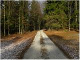 2
2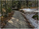 3
3 4
4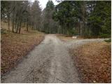 5
5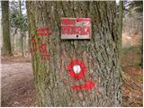 6
6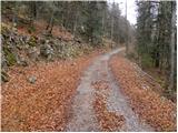 7
7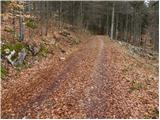 8
8 9
9 10
10 11
11 12
12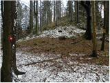 13
13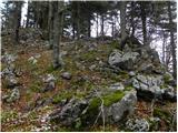 14
14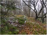 15
15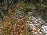 16
16 17
17
Discussion about the trail Kamen - Mokrc
|
| likozar13. 03. 2016 |
me zanima če so Srečko + 3 Štajerci danes našli vrh in ploščad ( jaz zase nisem bil prepričan)
|
|
|
|
| andi26. 12. 2016 |
Stanje je precej spremenjeno - markacij in oznak večinoma ni več, na vrhu je izbrisan napis na skali in izruvan kamen, ki označuje vrh. V okolici vrha je posekanih večina dreves. Najlepši razgled sicer s sedelca med obema vrhovoma, sega čez Krim do Triglava. Sicer pa verjetno vrh/"nekoristen" del sveta, ki ga spotoma obiščeš prvič in zadnjič 
|
|
|
|
| J.P.10. 04. 2021 18:12:27 |
Parkirati je smiselno že pri prvih ali drugih planinskih oznakah sicer je pot res kratka. Kot Andi2 pravi, kar nekoristen del sveta :-) ampak si lahko naredimo/podaljšamo izlet še kam saj je kraj poln poti z lepim gozdom....Lp
|
|
|
|
| rokeg10. 04. 2021 20:44:09 |
Koordinata E izhodišča je napačna. 14,0599°E, vodi na Vodice pri Colu Pravilno pa je 14,5325°E (iz opisa za Sveti Lenart iz Kamna)
Sicer je pa v okolici veliko vrhov, najtežje dostopen je po mojem mnenju Ivanji vrh, ker je zelo zaraščen s smrekami in te veje "tepejo". Zanimiv je Krvavski grič, ker ima steno, in tudi lep razgled je z vrha. Zanimiv je tudi razgledni Stražar.
Je pa "pot" na vrh Mokreca poleti vsa v koprivah in volčjih češnjah in nemalo pasti je pod njim v obliki odpadlega vejevja.
|
|
|
|
| Tadej12. 04. 2021 08:33:38 |
Hvala za opozorilo. Sem popravil.
|
|
|