Kamenščina - Volovja reber
Starting point: Kamenščina (900 m)
| Lat/Lon: | 45,5912°N 14,2903°E |
| |
Time of walking: 1 h
Difficulty: easy unmarked way
Altitude difference: 75 m
Altitude difference po putu: 150 m
Map: Snežnik 1:50.000
Recommended equipment (summer):
Recommended equipment (winter):
Views: 9.175
 | 1 person likes this post |
Access to the starting point:
From the motorway Ljubljana - Koper take the exit Postojna and follow the road towards Pivka, Rijeka and Ilirska Bistrica. In Pivka, leave the main road leading to Ilirska Bistrica and continue towards the village of Knežak. Just after Knežak, you will reach the village of Šembije, where you should look out for the first turn-off to the left. So turn sharp left off the main road and continue along the dirt road, which climbs gently at first and then a little steeper over the karst fields. The road then flattens out and leads to a small plateau below the Volovja Ribrija. If we intend to make a circular tour along the ridge of the Volovje ridge, we can park here already, but if not, we continue along the sometimes slightly worse macadam road, which leads us higher up to a sharp left turn, in the middle of which a worse road branches off to the right. Continue along the left-hand "main" road, which takes you higher up to the next junction at which you park.
Path description:
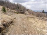
From the crossroads, take a sharp left, onto a slightly worse forest road, which begins to climb steeply across the increasingly scenic grassy slopes. The deteriorating road soon curves to the right and almost completely flattens out. A little further on, we see a fainter cart track road branching off to the right (20 minutes to Velika Milanja), and we continue straight on, following the road, which soon leads us to a pass between Velika Milanja on the right and the top of Bele ovce on the left.
Here the road turns to the left again (westwards) and, after a few more steps, leads us to the summit of Bele ovce (Bele ovce summit 5 minutes). The summit, the worse road, or rather cart track, passes by on the right-hand northern side.
The gently sloping road, which continues with a few short ascents and descents, turns to the right a little further on. Exactly at the point where the road turns to the right, leave it and continue the ascent along the gentle slopes of the Volovje Ribri, over which a pleasant track passes. Follow the path, which climbs only gently the whole time, to the summit.

Pictures:
 1
1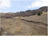 2
2 3
3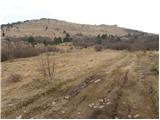 4
4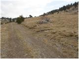 5
5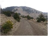 6
6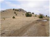 7
7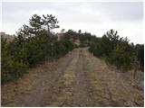 8
8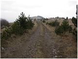 9
9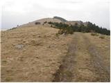 10
10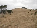 11
11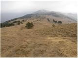 12
12 13
13 14
14 15
15
Discussion about the trail Kamenščina - Volovja reber
|
| seinfeld12. 08. 2011 |
Bil 11.8.2011. Opis poti zelo verodostojen. Sem pa zelo razočaran nad videnim. Vse ograjeno s kilometri plastične mreže, iz katere sva s sinom reševala ujetega srnjaka. Sem jo pri tem z užitkom veliko prerezal. Nikjer, dobesedno nikjer, nobene markacije, nobene table o pticah in ostalih živalih, povsem zapuščeno. Vsaj mir je pa čaroben.
|
|
|
|
| bizgo9331. 01. 2021 |
Krasen hrib in eden lepših razgledov v okolici. Pod hribom so krasne poti za gorsko kolesarjenje, pohodniki (tudi takšni z ne preveč kondicije) pa si lahko za cilj izberejo milansko tranzverzalo čez 4 vrhove (Milanka, Mala Milanja, Bele ovce in Velika Milanja do milanskega kamna in kavern). Pot bi lahko res bila lepše označena in turistu bolj prijazna ampak to je v domeni občine, ki da premalo v turizem. Opisana pot iz Kamenščine je v redu ampak vsem še bolj predlagam da začnejo v Šembijah in grejo po zgoraj napisanih vrhovih do kavern ter se po kolesarski pot vrnejo v Šembije - včeraj premagana, fenomenalna pot! (cel krog vam bi s postanki in razgledi vzel cca 5 ur)
Urednike pa bi opozoril da se ta vrh ne imenuje Volovja reber - Volovja reber je celoten greben, ki se na SZ začne z Milanko (948m) in konča z Vel. Milanjo (1099m). 975 m visok vrh pa se imenuje Mala Milanja, na katerem je tudi vpisna knjiga in štampilka. Je pa tudi ta označena narobe, saj je ta označena kot slabih 10 minut oddaljena Milanka.
|
|
|