Starting point: Kampelc (850 m)
| Lat/Lon: | 45,9149°N 14,0327°E |
| |
Time of walking: 50 min
Difficulty: easy marked way
Altitude difference: 256 m
Altitude difference po putu: 270 m
Map: Nanos 1:50.000
Recommended equipment (summer):
Recommended equipment (winter):
Views: 7.411
 | 1 person likes this post |
Access to the starting point:
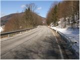
From the road Logatec - Idrija, at Godovič, take the road towards Črnji vrh and Ajdovščina. After Črni vrh, the road starts to climb in a few serpentines, then flattens out a bit. On this less winding part you will see red mountain signs on the left side of the road for the route Javornik and Čelkov vrh (the starting point is at the road sign approx. 4. 5 km). Park in one of the parking lots along the road.
The starting point can also be reached from the Vipava valley via Colo.
Path description:
The marked footpath immediately leads into the forest, where it first climbs cross-cuttingly and then continues along a smaller, sometimes more overgrown valley. Higher up, the path turns to the left and after a short climb leads to a forest road, along which we continue our ascent. The road then passes out of the forest, and we see Čelkov vrh in front of us. There is a short descent to a place where signs direct us to the right to a wide cart track, which we follow up to a few houses.
Beyond the houses the path goes into the wods, where it climbs a little steeper and joins the road we have recently left higher up. Continue up past the ramp to a well-marked crossroads, where you turn left in the route Čelkov vrh (straight ahead Javornik). The path continues to climb cross-country on a less and less vegetated slope, then turns slightly more to the left. Follow this path, which climbs more steeply for a short time, all the way to the top of
Pictures:
 1
1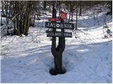 2
2 3
3 4
4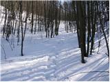 5
5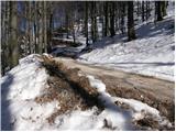 6
6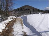 7
7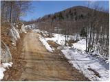 8
8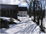 9
9 10
10 11
11 12
12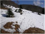 13
13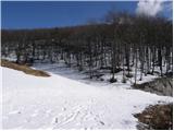 14
14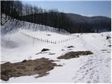 15
15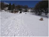 16
16 17
17
Discussion about the trail Kampelc - Čelkov vrh