Koča na Gozdu - Kumlehova glava
Starting point: Koča na Gozdu (1226 m)
| Lat/Lon: | 46,4399°N 13,7624°E |
| |
Time of walking: 2 h
Difficulty: difficult unmarked way
Altitude difference: 562 m
Altitude difference po putu: 575 m
Map: Kranjska Gora 1:30.000
Recommended equipment (summer):
Recommended equipment (winter): ice axe, crampons
Views: 24.343
 | 1 person likes this post |
Access to the starting point:
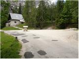
From Kranjska Gora we drive towards the Vršič pass, but only as far as the hut on the Forest, near which we park in a large parking lot.
Path description:
From the hut on the Forest, follow the Vršiška cesta down a few 100 m to a marked crossroads, where you can see the mountain direction signs for Erjavec's hut on Vršič. Take the trail, which you can follow for only 10 steps. After a few steps of ascent, you reach an unmarked crossroads, where you continue to the right along an unmarked path, which begins to climb steeply at first and then steeply to the north. After about 1 hour of walking, the relatively easy to follow trail, along which you can see some PP markings (trail Planica - Pokljuka), leads us to a saddle between Kumlehova glava on the left and Visoki Mavrinc on the right.
Continue left (right Visoki Mavrinc for 10 minutes) along the path which continues along the south-east ridge of Kumlehova glava. The path continues through the forest for some time, but the ridge soon retreats slightly to the right, where it crosses a short and slightly exposed ledge. The path then returns to the ridge, where it begins to climb steeply up an increasingly exposed slope.
Higher up, the ridge narrows and the path leads to an exposed passage where it crosses the top of a precipitous gully (high risk of slipping in wet conditions). Beyond the gully, the path climbs steeply up the slope, which is covered with dwarf pines. After about 15 minutes of steep climbing through dwarf pines, the path leads to the main ridge, where it turns to the right. There are only a few more 10 steps of ascent on the scenic and partly precipitous ridge of Kumlehova glava.

Pictures:
 1
1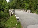 2
2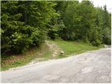 3
3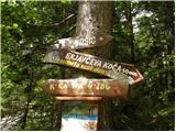 4
4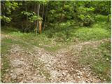 5
5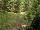 6
6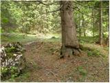 7
7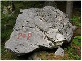 8
8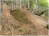 9
9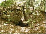 10
10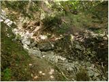 11
11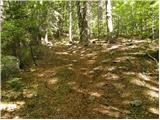 12
12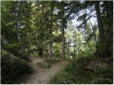 13
13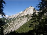 14
14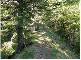 15
15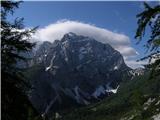 16
16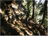 17
17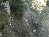 18
18 19
19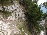 20
20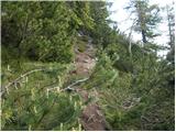 21
21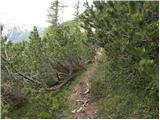 22
22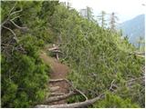 23
23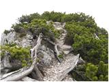 24
24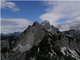 25
25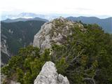 26
26 27
27
Discussion about the trail Koča na Gozdu - Kumlehova glava
|
| tango27. 10. 2019 |
Prekrasen dan, med ruševjem proti vhu kar prevroče, pa čeprav je bila ura šele devet. Na vrhu sam in lahko sem se v miru "napil" razgledov na vse strani. Nazaj grede še obisk Visokega Mavrinca, ki pa je bil kar oblegan. Priznam, da je bil tole lep zaključek vročinske jeseni.
|
|
|
|
| strelec19548. 12. 2019 |
8.december do Mavrinca pot kopna naprej se kmalu začne sneg in debelina snega hitro narašča.Na srečo se sneg ne predira tako lahko hitro napredujem proti vrhu.
Lep sončen dan z precej močnim vetrom na vrhu.
|
|
|
|
| J.P.26. 07. 2020 |
Zelo dobro shojena pot, lahko sledljiva. Obvezna točka za ustavljanje naj bo še V.Mavrinc. Oba vrha imata tako krasne razglede! Varen korak, lp
|
|
|
|
| ljubitelj gora2. 04. 2023 12:07:18 |
Niti ni treba, avto parkirat pri koči in nazaj hodit po cesti, ampak se tik nad zadnjim ovinkom parkira na desni, kjer je tud označeno večje parkirišče. Pot ni označena, gre se direkt desno not v gozd, zgleda kot gozdna pot. Takoj se levo pojavijo ene pike (naravnost pot) na drevesih, pride se mimo lovske koče in nad nadaljuje da se pride do neoznačene poti ki gre na Mavrinc, Kumlehovo glavo.
|
|
|
|
| grega_p15. 11. 2024 19:47:40 |
Ta gozdna pot, ki gre iz spodnjega cestnega ovinka, se po moji današnji izkušnji kmalu porazgubi, ko pride do manjšega potoka/grape. Lahko pa da sem jo samo zgrešil zaradi listja in ivja na tleh. Vsekakor se v isti smeri brezpotno dalje (leva stran grape) skozi gozd in nekaj rušja pride po 15min do steze za Kumlehovo glavo oz. V. Mavrinc.
|
|
|