Koča na Klopnem vrhu - Pesek
Starting point: Koča na Klopnem vrhu (1260 m)
| Lat/Lon: | 46,5018°N 15,3991°E |
| |
Time of walking: 2 h 23 min
Difficulty: easy marked way
Altitude difference: 163 m
Altitude difference po putu: 340 m
Map: Pohorje 1:50.000
Recommended equipment (summer):
Recommended equipment (winter): crampons
Views: 704
 | 1 person likes this post |
Access to the starting point:
a) First drive to Dravograd, then continue to Maribor. Shortly after Ožbalt, leave the main road and turn right over the bridge over the River Drava towards Lovrenc na Pohorju. On the other side of the river, the road starts to climb slightly and soon leads to the next crossroads, where we turn left in the direction of the village Činžat (right Lovrenc to Pohorje). In Činžat, where we join the road from Ruš, we turn right in the direction of Koča na Klopnem vrh. Above the village, the road becomes macadam, and initially climbs along the Lampreht stream. Higher up, the road leads past the Lampreht farm, and we follow the road at the crossroads in the direction of Koča na Klopnem vrh. When you reach the hut, park in a suitable place near it.
b) Drive to Ruše (to get here from Maribor or Selnica ob Dravi) and then continue driving towards Lovrenec on Pohorje. When you reach the village of Činžat, leave the road leading to Lovrenc na Pohorju and drive left along the initially still asphalted road in the direction of Klopnem vrh (Cottage on Klopne Top). Above the village, the road becomes macadam and initially climbs along the Lampreht stream. Higher up, the road leads past the Lampreht farm, and we follow the road at the crossroads in the direction of Koča na Klopnem vrh. When you reach the hut, park in a suitable place near it.
c) From the Ljubljana - Maribor motorway, take the exit Slovenske Konjice and continue driving towards the above-mentioned place. From Slovenske Konjice continue towards Zrečy, and we continue along the road in the direction of Roga. When you arrive at Rogla, continue along the main road, and we will follow it down to Koča na Pesku. At the hut, turn right in the direction of Osankarica and Klopnem vrh. Continue on the macadam road, then at all subsequent crossroads follow the road towards the Hut on Klopnem vrh. Park in a suitable place near the hut.
Path description:
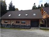
On the south side of the hut, you can see the markings for Klopni vrh and Pesek, which direct you to the path that climbs crosswise through the forest. Cart track, which we walk along, leads us in a few minutes to a dirt road on which we continue our ascent. The road soon branches off to the right to Klopni vrh, but the branch is not marked, and a few minutes further on there is a second branch, the latter marked with direction signs.
Continue in the direction of Pesek and continue walking along the road, which gradually starts to descend, and after a short descent reach a marshy part called Skrbinsko provje, and go left from the road onto a marked path, which is quite wet in the distance due to the marsh. The path mostly follows cart track, but also cart track in the less muddy parts. A few short ascents and descents follow, and then we reach a marked crossroads, where the marked path from Osankarice joins us from the left, and a little further on we reach a macadam road, which we follow to the right, and walk along it to the left turn, where the markings for Rogla direct us straight onto cart track, which climbs steeply over a short distance. There are a few switchbacks where you follow the signs, and the route continues along and along cart track, from which you get a nice view of Rogla and the lookout tower on it. A slightly longer descent follows and at Zgornji brvi you reach a crossroads and a marked crossroads.
Continue straight on the road leading to Koča na Pesku and Rogla (right down the marked Lovrenc na Pohorju), when the road turns slightly to the left leave it and at a less marked crossroads continue straight on to cart track. Follow cart track steeply uphill, carefully following the markings at the many crossroads. The trail climbs higher and turns left at the area called Kocafurova koča (Kocafurova koča), where it continues for a few minutes with a few short ascents and descents. Later, there is a moderate descent and, after leaving the forest, you reach Koča na Pesku.
A few metres before the hut, by a tree with direction signs, continue right in the direction of Pesek (the sign on the tree says "P. vrh". After a few steps, the path, which is less visible, enters the forest and turns slightly to the left. The traceable but poorly trodden path climbs moderately to the left, and after a few minutes the markings direct us to the right to a marked trackless path, where it is occasionally possible to follow a fainter track. Follow this track to a nearby peak, identified by a tree with the inscription Pesek.
Koča na Klopnem vrhu - Zgornja brv 1:15, Zgornja brv - Koča na Pesku 1:00, Koča na Pesku - Pesek 0:08.
Description and figures refer to the situation in autumn 2021.

Pictures:
 1
1 2
2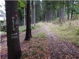 3
3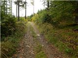 4
4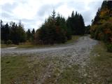 5
5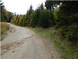 6
6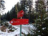 7
7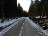 8
8 9
9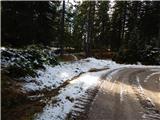 10
10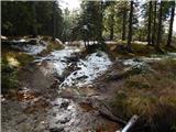 11
11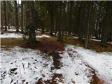 12
12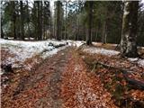 13
13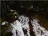 14
14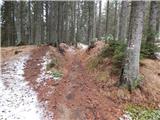 15
15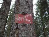 16
16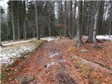 17
17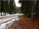 18
18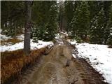 19
19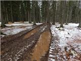 20
20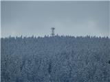 21
21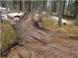 22
22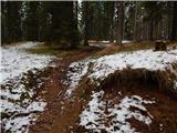 23
23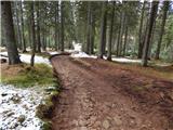 24
24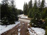 25
25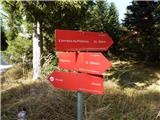 26
26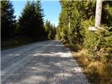 27
27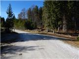 28
28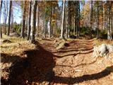 29
29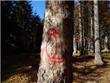 30
30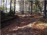 31
31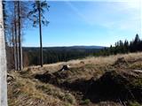 32
32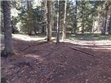 33
33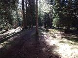 34
34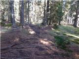 35
35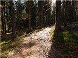 36
36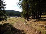 37
37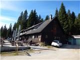 38
38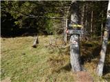 39
39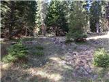 40
40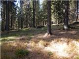 41
41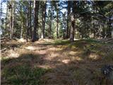 42
42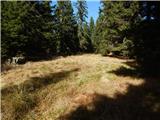 43
43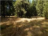 44
44 45
45
Discussion about the trail Koča na Klopnem vrhu - Pesek