Koča na Pesku - Koča na Klopnem vrhu
Starting point: Koča na Pesku (1386 m)
| Lat/Lon: | 46,467°N 15,3441°E |
| |
Time of walking: 2 h 10 min
Difficulty: easy marked way
Altitude difference: -126 m
Altitude difference po putu: 175 m
Map: Pohorje 1:50.000
Recommended equipment (summer):
Recommended equipment (winter): crampons
Views: 931
 | 1 person likes this post |
Access to the starting point:
a) From the Ljubljana - Maribor motorway, take the Slovenske Konjice exit and continue driving towards the above-mentioned place. From Slovenske Konjice continue towards Zreče, and we continue along the road in the direction of Roga. When we arrive at Rogla, we continue along the main road, which continues for some time without any major changes in elevation, then turns left and gradually begins to descend. Follow the road to Koča na Pesku, where you park in the parking lot near the hut.
b) First drive to Lovrenc na Pohorju (to get here from the road Maribor - Dravograd), then continue driving towards Rogla and the Cottage on the Sand. The gravel road then leads first to Mašinžaga and then to Koča na Pesku. Park in the parking lot next to the Cottage on the Sand.
Path description:
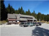
From the parking lot, walk to the north-west side of the hut, from where you can follow the marked path towards Klopni vrh and Zgornji brvi. Near the NOB memorial, the path goes into the forest, through which it climbs on the cart track. The path soon becomes level, after which it continues for a few minutes without any major changes in elevation. A little further on, the waymarked path turns right and gradually starts to descend on cart track. Lower down, a wider dirt road is reached, which is followed to a crossroads and a marked crossroads at Zgornji brvi.
From the crossroads, take the cart track in the direction of Osankarica and Koča na Klopnem vrhu and start climbing. At a higher level, cart track transitions to a track, then returns to cart track, after and along which we continue for some time with some descents and ascents. After a moderate descent, you reach a dirt road, from which you go a few 10 m further slightly left on a marked path, which splits after a minute of further walking.
Continue slightly left in the direction Klopni vrh (slightly right Šumik and Osankarica) and continue walking through the forest. A little further on, you reach a marshy area, where you follow the markings carefully, taking care not to get too boggy. Continue partly on the cart track, and in the wetter parts on a parallel trail. When you reach a dirt road, go right and follow it for a few minutes to a marked crossroads where the road branches off to the left to Klopni vrh, and we continue along the road, which gradually starts to descend. When the road turns right a few minutes further down, we continue straight on to cart track, which descends through the forest. After a few minutes of descending, you reach another road where you go left and after a few steps you reach a hut on Klopni vrh, from which you get some views.
Koča na Pesku - Upper footbridge 0:55, Upper footbridge - Hut on Klopni vrh 1:15.
Description and pictures refer to the situation in autumn 2021.

Pictures:
 1
1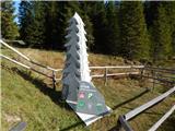 2
2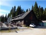 3
3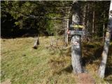 4
4 5
5 6
6 7
7 8
8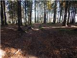 9
9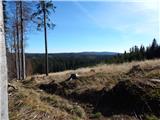 10
10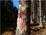 11
11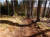 12
12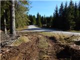 13
13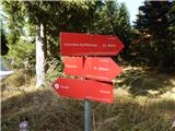 14
14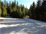 15
15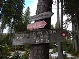 16
16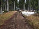 17
17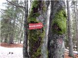 18
18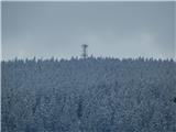 19
19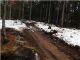 20
20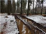 21
21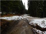 22
22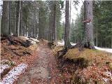 23
23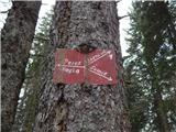 24
24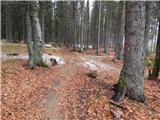 25
25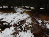 26
26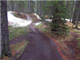 27
27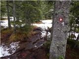 28
28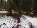 29
29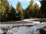 30
30 31
31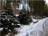 32
32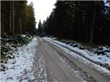 33
33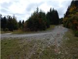 34
34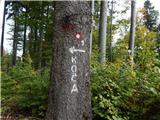 35
35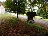 36
36 37
37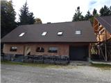 38
38
Discussion about the trail Koča na Pesku - Koča na Klopnem vrhu