Koča na planini Kuhinja - Batognica
Starting point: Koča na planini Kuhinja (1002 m)
| Lat/Lon: | 46,2416°N 13,6607°E |
| |
Time of walking: 3 h 15 min
Difficulty: partly demanding marked way
Altitude difference: 1162 m
Altitude difference po putu: 1162 m
Map: Julijske Alpe - zahodni del 1:50.000
Recommended equipment (summer):
Recommended equipment (winter): ice axe, crampons
Views: 5.406
 | 1 person likes this post |
Access to the starting point:
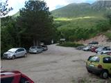
From Tolmin, drive towards Kobarid or vice versa, but only until you reach the point where the signs for Kamno direct you to the right (or left from Kobarid) across the bridge. Follow the relatively narrow and ascending road towards the village Vrsno and higher up Krn. From the village Krn, continue in the direction of the Hut at mountain pasture Kuhinja. When you reach a large parking lot near mountain pasture Kitchen, continue slightly left and follow the dirt road for another 200 m, then park in the free parking lot at Koča na planini Kuhinja, which has space for about 40 cars.
Path description:
Before Koča na planini Kuhinja go right in the direction of Krn and continue along the first gently sloping, then occasionally steeper path, which leads us along vast pasture slopes interspersed with a few grazing fences. With fine views of Krn, Batognica and other surrounding mountains, we cross an occasionally worse mountain road a few times, and after about 40 minutes' walk from the starting point we arrive at the former military hamlet of mountain pasture Slapnik.
The path then crosses the road a few more times, and then joins the path from the end of the road (Planina Zaslap). The path then crosses slightly to the right in a moderate ascent on grassy slopes, and then again to the left to an unmarked crossroads in the area called Leger. Continue right up (straight on the normal path to Krn) on a less visible but marked track, which initially climbs parallel to the normal path to Krn. A little higher up, a wide but rather overgrown path crosses the slopes of Krn to the east in a moderate ascent. A beautiful scenic route then leads to the base of the Krn notch. There is a ten-minute steep climb up a rocky slope to the Krn notch, where you encounter the remains of the World War. Here, continue along the right-hand path in the direction of Batognica (left Krn, straight down Krnsko jezero), which becomes technically demanding. The path leads us along an exposed path with steps on the precipitous southern slopes of Batognica. In wet or snow conditions, high risk of slipping. A few metres below the summit, however, the path is laid and leads us to the summit without any major problems.

We can extend the trip to the following destinations: Krn
Pictures:
 1
1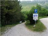 2
2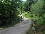 3
3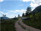 4
4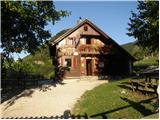 5
5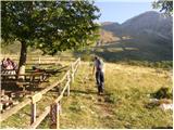 6
6 7
7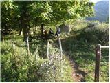 8
8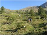 9
9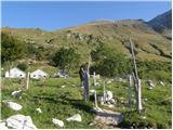 10
10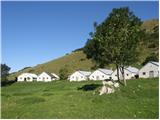 11
11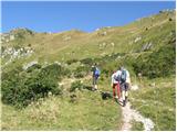 12
12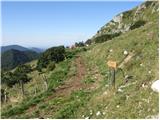 13
13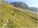 14
14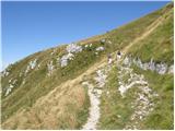 15
15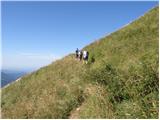 16
16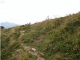 17
17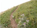 18
18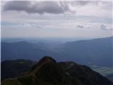 19
19 20
20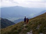 21
21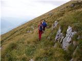 22
22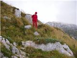 23
23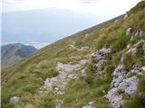 24
24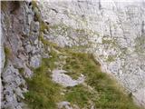 25
25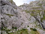 26
26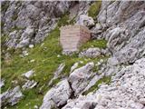 27
27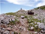 28
28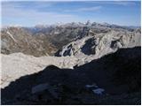 29
29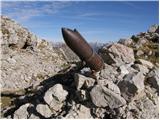 30
30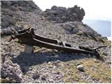 31
31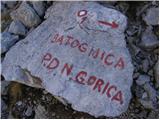 32
32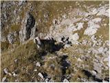 33
33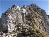 34
34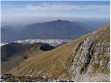 35
35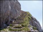 36
36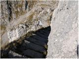 37
37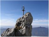 38
38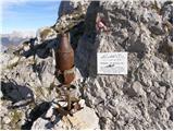 39
39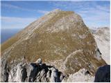 40
40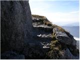 41
41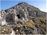 42
42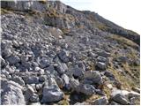 43
43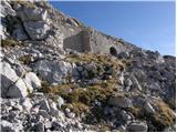 44
44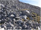 45
45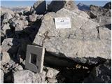 46
46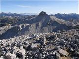 47
47
Discussion about the trail Koča na planini Kuhinja - Batognica
|
| danicaM8. 07. 2017 |
pot ni zahtevna ker so na ključnih izpostavljenih mestih na novo napete zajle. Srečno in veliko užitkov ob pogledih. V tem času je na vrhu veliko drobnice.
|
|
|