Koča pod slapom Rinka - Velika (Koroška) Baba
Starting point: Koča pod slapom Rinka (1024 m)
| Lat/Lon: | 46,3696°N 14,5986°E |
| |
Time of walking: 4 h 30 min
Difficulty: partly demanding marked way
Altitude difference: 1103 m
Altitude difference po putu: 1129 m
Map: Kamniške in Savinjske Alpe 1:50.000
Recommended equipment (summer): helmet
Recommended equipment (winter): helmet, ice axe, crampons
Views: 25.948
 | 2 people like this post |
Access to the starting point:
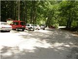
We drive to Luce (to get here from Mozirje or via Kranjski Rak) and on to the Logar Valley. Shortly after the village Solčava, you will come to a crossroads where the road to Logarska dolina turns left. Turn left towards the Logar valley (pay the toll) and follow the road to the parking lot at the Cottage under the Rinka waterfall, where you park.
Path description:
From the parking lot, follow the wide tourist trail, which starts to climb gently. After a good ten-minute walk, you will emerge from the forest and reach a crossroads. Turn left (right Orlovo gnezdo 3 minutes) in the direction of the house at Okrešlju. The path crosses a small bridge and starts to climb steeply on the other side. After a short climb, the path leads us under the walls, from where we cross to the top of the waterfall. This part is exposed to falling rocks. The path then crosses the Savinja again and continues upwards along the river using steps. The ascent continues along the right-hand side (left bank) of Savinjek. Soon you reach the spring Savinjek, where you cross the water again. On the other side, the path goes into a dense forest and after a short climb leads to the winter shelter at Okrešlju. Continue to the left and in a few steps you will reach the house at Okrešlju.
At the home, take the path in the direction of Kamniško and Savinjsko sedlo. Soon you will come to the edge of a meadow where there is a crossroads. Continue straight across the meadow in the direction of Češka and Kranjska koča (Kamniško sedlo on the left). The path crosses a torrent and then climbs slightly upwards along the rubble. Soon you will reach the next crossroads, where the path to Turški žleb (Turški žleb) and the memorial to the left branches off and is only a few dozen steps walk away. Continue straight ahead through the narrowing valley. The path starts to climb steeply and leads us under the walls of Mrzla Gora. The path continues along the left side of the torrent, on a moderately steep grassy slope partly covered with dwarf pines. The path then passes to the left side under the scree of the Štajerska Rinka. In a cross-climb the path leads us under the cliffs, where there is a danger of falling rocks. There is a short steep jump, and then the path veers slightly to the right onto grassy slopes, where we come to a crossroads. Continue straight ahead and the path to Mrzla Gora branches off to the right. Soon we come to a crossroads again, where the climbing path to Rinke branches off to the left, and we continue straight on along the path, which soon turns right into steep slopes. Here the path climbs steeply and leads us in a few minutes to the bivouac below Mrzlim vrh. At the bivouac, the path turns right and climbs steeply for a few steps, then the steepness eases. It is then a short walk to Savinjsko sedlo, where the state border is. Continue on the Austrian side towards Kranjska hut. After a short climb, the path descends for a few metres and then ascends in a slight cross-climb on scree to Jezersko sedlo. Continue right along the ridge and the path soon leads to a crossroads where the path to Babe branches off to the right. Continue right down towards Velika Babe, and the path to Ledinski vrh leads along the ridge to the left. From the saddle, the path first descends on scree and then turns slightly to the left and crosses the slopes below Ledinski vrh. A short climb follows and a very difficult path from the Ledine huts joins us from the left. The trail becomes a little more challenging as it climbs northwards. Later, the path turns left and retreats down the steep cliffs to the west side of the mountain. The trail then crosses the western slopes to the north and turns right at the last part, followed by a short climb to a very scenic summit.

Pictures:
 1
1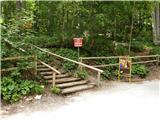 2
2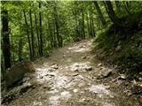 3
3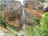 4
4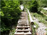 5
5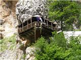 6
6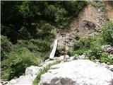 7
7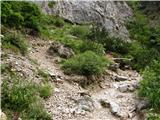 8
8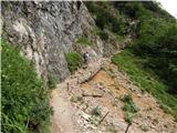 9
9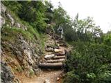 10
10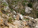 11
11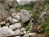 12
12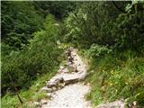 13
13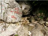 14
14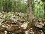 15
15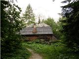 16
16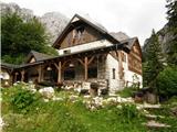 17
17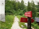 18
18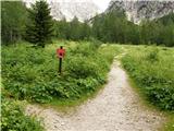 19
19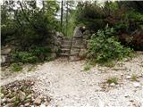 20
20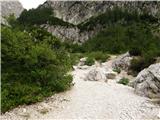 21
21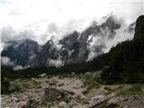 22
22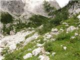 23
23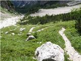 24
24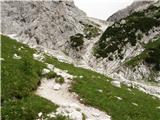 25
25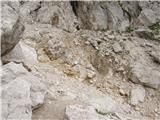 26
26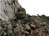 27
27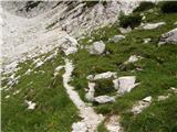 28
28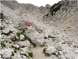 29
29 30
30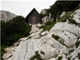 31
31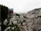 32
32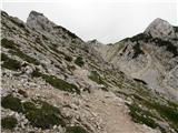 33
33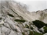 34
34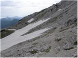 35
35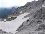 36
36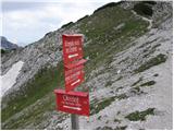 37
37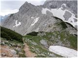 38
38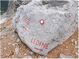 39
39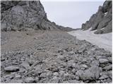 40
40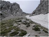 41
41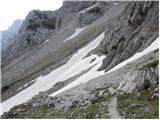 42
42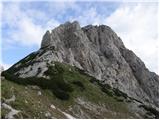 43
43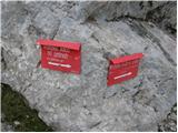 44
44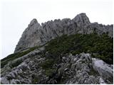 45
45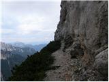 46
46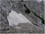 47
47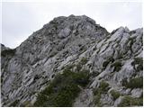 48
48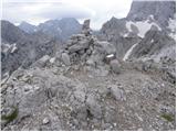 49
49
Discussion about the trail Koča pod slapom Rinka - Velika (Koroška) Baba
|
| pjoter27. 10. 2013 |
zanima me če kdo ve kakšno je stanje poti v tem času če je že kaj snega
hvala
|
|
|
|
| Domch27. 10. 2013 |
Včeraj sem bil gor in sicer po plezalni gor in po Avstrijski sestop. Pot je suha, brez snega, včeraj je bilo gor poletje-kratki rokavi, razgled daleč naokrog. Snega v KSA ni nikjer več razen nekaj krp na ledeniku pod Skuto. brez skrbi na pot in živaj. 
|
|
|
|
| Zeljo22. 08. 2014 |
zanima me kakšna je ta pot na veliko babo? zahtevna za nedovolj kondicije? glede kondicije sem pol pol. Jutri pa imamo namen gor it.
hvala
|
|
|
|
| Daaam22. 08. 2014 |
Če imaš za pol Triglava kondicije potem le pojdi, če pa za pol ure hoje potem pa rajši pojdi samo do Okrešlja... Roko na srce, vprašanje se ti ni najbolj posrečilo.  lp
|
|
|
|
| garmont22. 08. 2014 |
Jutri rajši ostani doma. Vreme ti ne bo naklonjeno.
|
|
|
|
| citam13. 06. 2015 |
Ali je del na sliki 46 izpostavljen?
|
|
|
|
| ŠpRo2913. 06. 2015 |
Sicer sem šla z Ledin gor in kolikor se spomnim, da tole ni izpostavljeno. Bolj obides steno.
|
|
|
|
| ŠpRo2913. 06. 2015 |
Se opravičujem, na telefonu mi kaže nekaj drugega pod sliko 46.
|
|
|
|
| Kr_okar2. 06. 2018 |
Je pot primerna za psa? Hvala
|
|
|
|
| garmont2. 06. 2018 |
Razen tega, da je pot večinoma po soncu in je posledično lahko precej vroča, menim, da bi jo kuža brez težav zmogel.
Lp
|
|
|
|
| pohodnik3820. 09. 2020 |
V soboto 12.9.opravljena pot na Veliko Babo pot je brez posebnosti zelo lepa in vredna vsakega koraka in niti pretirano tehnično zahtevna. VIDEO Lp! Tone 
|
|
|
|
| ImbusKljuc10. 09. 2021 20:30:07 |
Danes 10.9.21 pri sestopu na tej poti izgubil uro. Ni baš nekaj vredna - sem jo imel pa rad. Najditelj privat.
Je pa zelo lepa pot, če je suha. Zadnji vzpon ima lep strm začetni del in je treba malo poprijet ampak se najdejo stopničke za noge, ostalo je pa mala malica. Brez straha, tista polica pa zaobide steno in ni izpostavljena.
|
|
|