Koča Pordenone - Monte Pramaggiore
Starting point: Koča Pordenone (1200 m)
Time of walking: 4 h
Difficulty: difficult marked way
Altitude difference: 1278 m
Altitude difference po putu: 1278 m
Map: Tabacco 21 1:25000 ali Dolomiti Friulane 1:40000 (Meridiani Montagne)
Recommended equipment (summer): helmet
Recommended equipment (winter): helmet, ice axe, crampons
Views: 7.331
 | 3 people like this post |
Access to the starting point:
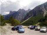
The Cimoliano valley above Cimolais can be reached by local roads that branch off from the Udine/S Udine motorway exit (Sud or Nord - in both cases follow the signs for Spilimbergo and Maniago), or from Longarone at the end of the Venice-Cortina d'Ampezzo motorway. In Cimolais, take the partly asphalted road, which in some places runs over huge deposits of gravel, for about 10 km down the valley to the parking lot at the foot of the Pordenone hut.
From Gorizia, Cimolais is at least 119 km (the closest option) or 148 km (the fastest, partly motorway option).
Path description:
From the parking lot, continue past the barrier on the cart track No 361 towards the mountain pasture Casera Meluzzo. On the wide gravel paths, follow the little men and orientate yourself according to the neat wooden signs of the Friuli Dolomites Nature Park, which direct you along 362 at the end of the gravel paths. The path follows a stream, turns into the wods and becomes a comfortable, shady path. At the only crossroads, turn right onto route 366 and follow the botanically rich side moraine of the former glacier, below the Crode del Sion and Il Castiela cliffs, to reach the Sidon notch. All the time, the horizons open up behind us and, in fine weather, we can admire the Friuli, but also the real Dolomites. Monfalconi, Laste, Duranno and Cima dei Preti stand out, followed by Pelmo. Above the stumps, we join the sheltered path from the Flaiban-Pacherini hut (or from Forni di Sopra), which passes at the junction of the cliff and the scree, then climbs up to the ridge with the help of a few metres of cableway. The view opens up to the two-thousand-metre peaks above Val Setimana, which is one of the access routes to our mountain. The red dots guide us among the easiest passages on the steeper terrain, where we occasionally help ourselves with our hands. At the top, we are surprised by a small cross, or maybe a goat.

Pictures:
 1
1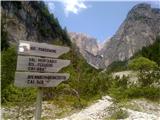 2
2 3
3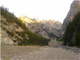 4
4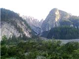 5
5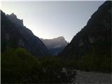 6
6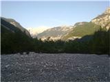 7
7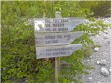 8
8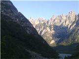 9
9 10
10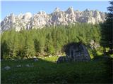 11
11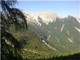 12
12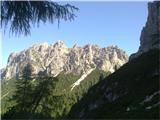 13
13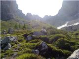 14
14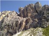 15
15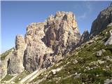 16
16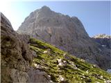 17
17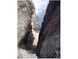 18
18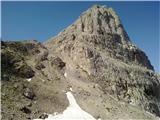 19
19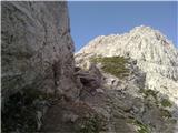 20
20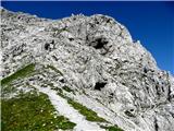 21
21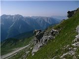 22
22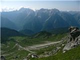 23
23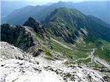 24
24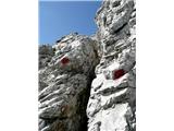 25
25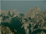 26
26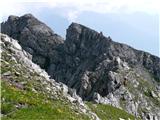 27
27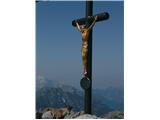 28
28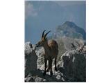 29
29
Discussion about the trail Koča Pordenone - Monte Pramaggiore
|
| Pi_is_exactly_312. 08. 2019 |
Zaradi jesenskih neurij in poplav iz 2018 je ob vstopu v dolino Cimoliana opozorilo o vožnji naprej le na lastno odgovornost. Kljub temu je cesta (že) normalno prevozna in ni problematična... Na poti naprej na Pramaggiore pa ni posebnosti, vse iz opisa še drži. Pot iz doline Cimoliana je za moj okus ena lepših v Karnijcih (neskončna prodišča na začetku ture, slikovito nazobčane gore, ledeniške morene, skoraj udomačeni kozorogi...).
|
|
|
|
| mirank13. 08. 2019 |
Poizkusi drugič iz Forni di sopra mimo koče Flaiban Pacherini; se da izvesti skoraj kot popolno krožno turo  , o gorah tam okoli pa ne bi  . Tudi samo izhodišče je vsaj 20km bliže in laže dosegljivo, je pa res Val Cimoliana nekaj posebnega, četudi je pot, zlasti proti koncu, bolj primerna za višja vozila.
|
|
|