Koča pri izviru Soče - Slemenova špica
Starting point: Koča pri izviru Soče (886 m)
| Lat/Lon: | 46,4093°N 13,7255°E |
| |
Time of walking: 3 h 25 min
Difficulty: easy marked way
Altitude difference: 1025 m
Altitude difference po putu: 1075 m
Map: TNP 1:50.000
Recommended equipment (summer):
Recommended equipment (winter): ice axe, crampons
Views: 10.684
 | 1 person likes this post |
Access to the starting point:
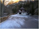
From Kranjska Gora, go over the Vršič pass towards Bovec or vice versa, and follow the road to the 49th serpentine of the Ruska or Vršiška cesta. Here, turn onto a side road, which after about 1 km of further driving, leads to the parking area at the Cottage at the source of the Soča River.
Path description:
From the parking lot, go back along the road about 50 m, then continue in the direction of the footpath to Vršič. The trail starts at a small stone enclosure, and then leads into the forest past a small hut. Through the woods we climb gently for a short time, and then signs lead us to the other side of the Limarica stream. Next, we gradually begin to climb steeper up the left bank of the Limarica, and from the path that passes under the steep walls of the Maklenova stove, we begin to open up beautiful views of Bavški Grintavec and the ridge of Pelcev. Higher up, the trail turns into a forest, through which it then climbs for some time. Through the forest we climb on the old mulatier, which we leave higher up, as the sign for Vršič directs us to the left on a leaf-covered footpath, which soon joins the old macadam road.
Follow the road to the right, then leave it after a few minutes of ascent, as the slightly less visible markings direct you to the left. Higher up, we rejoin the road, which leads us out of the forest and onto increasingly scenic slopes. With a view of the surrounding peaks, we walk to the memorial, and just a few metres after the memorial, we leave the road and continue to the left across the hudourniški graben. Follow this path, which continues to climb steeply across the sometimes slightly steeper slopes, until you reach the asphalted road.
When you reach the Russian Road, it takes you about 10 minutes to climb up to the Vršič Pass.
A few 10 steps before the pass, a road closed to public traffic turns off to the right, leading towards Tičarjev and Poštarski dom, and we continue to the red mountain direction signs located directly next to the pass.
From the pass we continue in the direction of Slemenova špica, Mala Mojstrovka on a very difficult path and the Tamar valley (Mala Mojstrovka on the left - the normal path) on a path that starts to climb crosswise to the right. During the ascent, which takes place on the slopes of Šitna glava, we cross some small scree and torrents and then the path from Erjavec's hut on Vršič joins us from the right.
Continue straight ahead and in a few minutes, past a lookout point a few metres away, you will climb to the Vratca Pass (1799 m), where the next marked crossroads is located. To the left continues the belayed climbing route to Mala Mojstrovka and the unmarked route to Slemen, to the right branches the unmarked but well-trodden route to Prednje Robičje, and in a straight direction continues the normal route to Slemen and Slemen's Spit.
There is a short section of the trail where you cross the slopes below Prednje Robičje, and then the trail gradually begins to descend towards the slopes above the Mala Pišnica valley. On reaching these slopes the path turns left and then continues with some short ascents and descents. The overland, easy path leads us a little further to a crossroads where we join the marked path from Tamar through Grlo and the as yet unmarked path through Mala Pišnica on the right.
Continue in the direction of Slemenova špica, following the path that continues to cross the slopes high above Malo Pišnica. With beautiful views stretching as far as nearby Itali and Austria, you soon reach the slopes of Slemenova špica, where the slope, but not the path, flattens out. A short climb follows, and then we arrive at a less marked crossroads, where we continue slightly to the right (straight ahead leads the path towards Tamar - the path passes Črne vode (even if we continue straight ahead, it is still possible to go towards Slemenova špica)). After a few minutes of further climbing, the path completely gives way, and we see small lakes in front of us and the familiar view towards Jalovec. Jezerce we go around on the right side, or wherever we want, and then we pass the registration box and in a few minutes we climb to the scenic and precipitous top of Slemenova spica.

Pictures:
 1
1 2
2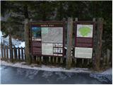 3
3 4
4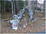 5
5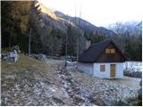 6
6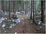 7
7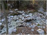 8
8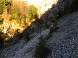 9
9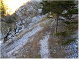 10
10 11
11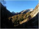 12
12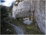 13
13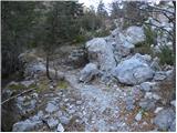 14
14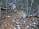 15
15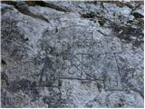 16
16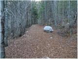 17
17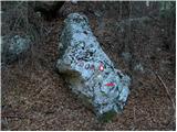 18
18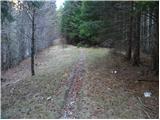 19
19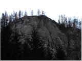 20
20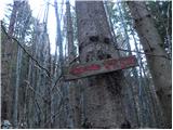 21
21 22
22 23
23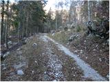 24
24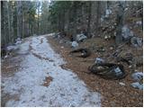 25
25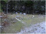 26
26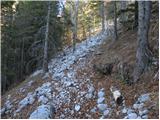 27
27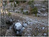 28
28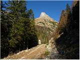 29
29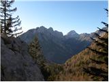 30
30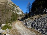 31
31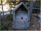 32
32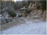 33
33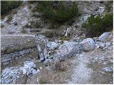 34
34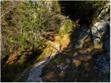 35
35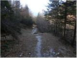 36
36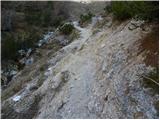 37
37 38
38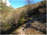 39
39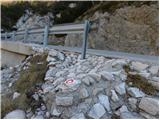 40
40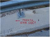 41
41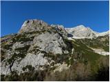 42
42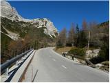 43
43 44
44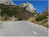 45
45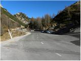 46
46 47
47 48
48 49
49 50
50 51
51 52
52 53
53 54
54 55
55 56
56 57
57 58
58 59
59 60
60 61
61 62
62 63
63 64
64 65
65 66
66 67
67 68
68 69
69 70
70 71
71 72
72 73
73 74
74 75
75 76
76 77
77 78
78 79
79 80
80 81
81 82
82 83
83 84
84 85
85 86
86 87
87 88
88 89
89 90
90 91
91 92
92 93
93 94
94
Discussion about the trail Koča pri izviru Soče - Slemenova špica