Koča pri izviru Soče - Vršič vrh
Starting point: Koča pri izviru Soče (886 m)
| Lat/Lon: | 46,4093°N 13,7255°E |
| |
Time of walking: 2 h 40 min
Difficulty: easy marked way
Altitude difference: 851 m
Altitude difference po putu: 851 m
Map: TNP 1:50.000
Recommended equipment (summer):
Recommended equipment (winter): ice axe, crampons
Views: 15.143
 | 3 people like this post |
Access to the starting point:
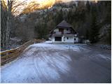
From Kranjska Gora, go over the Vršič pass towards Bovec or vice versa, and follow the road to the 49th serpentine of the Ruska or Vršiška cesta. Here, turn onto a side road, which after about 1 km of further driving, leads to the parking area at the Cottage at the source of the Soča River.
Path description:
From the parking lot, go back along the road about 50 m, then continue in the direction of the footpath to Vršič. The trail starts at a small stone enclosure and then leads into the woods past a small hut. Through the woods we climb gently for a short time, and then signs lead us to the other side of the Limarica stream. Next, we gradually begin to climb steeper up the left bank of the Limarica, and from the path that passes under the steep walls of the Maklenova stove, we begin to open up beautiful views of Bavški Grintavec and the ridge of Pelcev. Higher up, the trail turns into a forest, through which it then climbs for some time. Through the forest we climb on the old mulatier, which we leave higher up, as the sign for Vršič directs us to the left on a leaf-covered footpath, which soon joins the old macadam road.
Follow the road to the right, then leave it after a few minutes of ascent, as the slightly less visible markings direct you to the left. Higher up, we rejoin the road, which leads us out of the forest and onto increasingly scenic slopes. With a view of the surrounding peaks, we walk to the memorial, and just a few metres after the memorial, we leave the road and continue to the left across the hudourniški graben. Follow this path, which continues to climb steeply across the sometimes slightly steeper slopes, until you reach the asphalted road.
When you reach the Russian Road, it takes you about 10 minutes to climb almost to the Vršič Pass, where, just before the start of the parking area, you continue to the right towards the nearby Tičar's House, which you reach after a further 10 steps.
From Tičar's house, continue along the macadam road, which begins to climb moderately over the slopes. With a view of the surrounding peaks, you will quickly reach a marked crossroads.
Here we continue straight on (right Sovna glava, Prisank, Razor. . . ) along the road, from which we get a nice view of the Ajdovska deklica. Here the road turns quite left and after a few minutes of further walking leads us to the Postman's Home at Vršič.
At the Postman's House we see the signs for Vršič, which direct us slightly to the right onto a clearly visible path which gradually becomes lane of dwarf pines. Here the path begins to climb steeply and after a few minutes' climb over a slope partly covered with dwarf pines leads us to a 1737 m high summit.

Pictures:
 1
1 2
2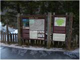 3
3 4
4 5
5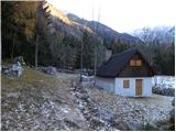 6
6 7
7 8
8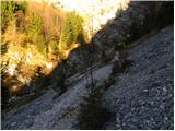 9
9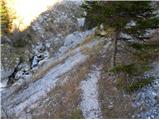 10
10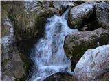 11
11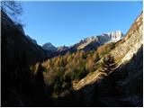 12
12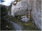 13
13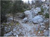 14
14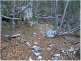 15
15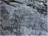 16
16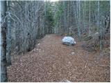 17
17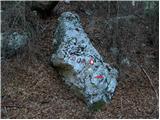 18
18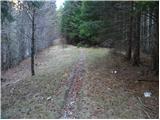 19
19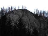 20
20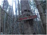 21
21 22
22 23
23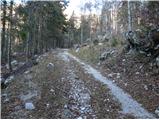 24
24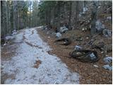 25
25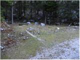 26
26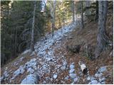 27
27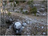 28
28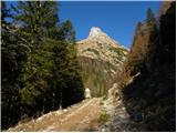 29
29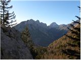 30
30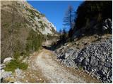 31
31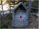 32
32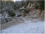 33
33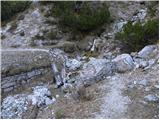 34
34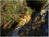 35
35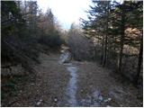 36
36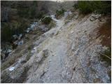 37
37 38
38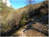 39
39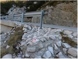 40
40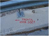 41
41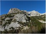 42
42 43
43 44
44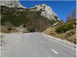 45
45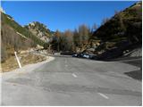 46
46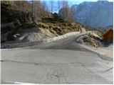 47
47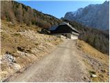 48
48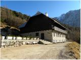 49
49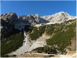 50
50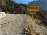 51
51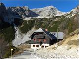 52
52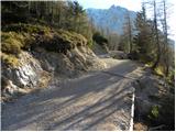 53
53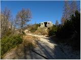 54
54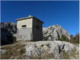 55
55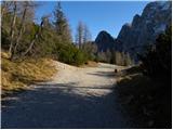 56
56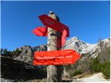 57
57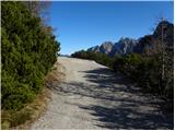 58
58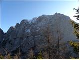 59
59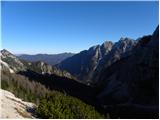 60
60 61
61 62
62 63
63 64
64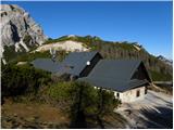 65
65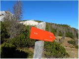 66
66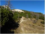 67
67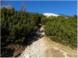 68
68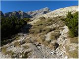 69
69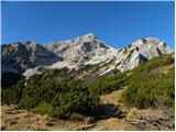 70
70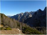 71
71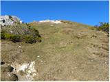 72
72 73
73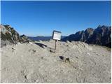 74
74 75
75
Discussion about the trail Koča pri izviru Soče - Vršič vrh
|
| ejas12349. 05. 2020 |
Pozdravljeni.
Kako je kaj pot s Trente na Vršič.
Hvala.
|
|
|
|
| haridautovic27. 12. 2020 |
27.12.2020/Od koče pri izviru Soče ob čisti in šumeči Limarici naju pot pelje naprej pod strmimi ostenji Maklenove peči proti Vršiču.Pot večinoma poteka skozi gozd po stari mulatjeri ,ko doseževa Rusko cesto nadaljujeva do samega prelaza na vršiču na to mimo Tičarjevega doma vse do Poštarskega doma na Vršiču.Od P.D nadaljujeva naprej na Vrh na Vršiču 1737mnv in užitek je na dlani.Pot izredno lepa tudi lepo shojena, 
|
|
|
|
| mikkeni16. 07. 2024 14:56:16 |
kakšna je pot iz izvira Soče do Vršiča? kaj zaraščena al ne?
|
|
|