Koča pri Savici - Kanjavec (via Triglavska jezera)
Starting point: Koča pri Savici (653 m)
| Lat/Lon: | 46,2896°N 13,8022°E |
| |
Name of path: via Triglavska jezera
Time of walking: 6 h
Difficulty: difficult marked way
Altitude difference: 1916 m
Altitude difference po putu: 2000 m
Map: Triglav 1:25.000
Recommended equipment (summer): helmet
Recommended equipment (winter): helmet, ice axe, crampons
Views: 46.118
 | 3 people like this post |
Access to the starting point:
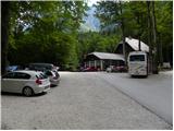
From the motorway Ljubljana - Jesenica, take the Lesce exit and follow the road towards Bled and on to Bohinjska Bistrica. Continue driving towards Bohinjsko jezero (Ribčev laz), at which you will come to a crossroads, where you will continue straight along the left (south) side of the lake in the direction of Ukanec and the Savica waterfall. Follow this increasingly narrow road to the large parking lot at the Savica cottage. There is a charge for parking.
Path description:
From the parking lot, turn right in the direction of Črno jezero, Koča pri Triglavskih jezerih and Hotel Zlatorog. The route initially leads along a dirt road, which crosses the Savica River via a bridge. Just after the bridge, the signs for Komarčo direct us left (straight ahead Hotel Zlatorog) onto what is at first still a fairly wide and relatively winding forest path. However, the path soon starts to climb steeper and leads us a little higher to a place where the path to the spring Savica branches off to the left, and we continue to the right on an increasingly steep path.
The well-maintained and relatively wide mountain trail, however, soon switches to the very steep and dangerous for slipping slopes of Komarče (there is also a high risk of falling rocks). The way forward climbs steeply on the mostly forested wall of Komarče, where we are helped in the more difficult places by the fixed safety gear (mainly by jeklenice).
Higher up, the route opens up some views towards Bohinj, and the path leads us to a short technically difficult place where we cross an otherwise not-so-exposed gully with the help of crampons and a rope. The way forward is still steeply climbing for some time and with the help of some fixed safety gear leads us to the top of Komarče, from where we get a nice view of our starting point. There is a short moderately steep climb, and then the path begins to descend gently towards Črno jezero, which is reached after less than 5 minutes of further walking.
Near the lake there is a marked crossroads where a path branches off to the right towards mountain pasture Viševnik, and we continue slightly to the left and follow the marked path, passing Črno jezero on the right. On the other side of the lake, the path from Dom na Komni joins us from the left, and we continue along a relatively winding path that continues along the edge of the Lopučnička valley. Higher up, the path begins to climb moderately and leads us along the edge of overhanging cliffs to a small spring, which dries up in dry periods.
Continue on the marked path, which turns sharp right near Bela skala and climbs steeply. A few minutes of steep climbing follows, and then the path is laid and leads to a marked crossroads where the path with mountain pasture Blato joins us from the right. Continue left in the direction Koča pri Triglavskih jezerih and follow the relatively winding path, which will take you to the Double Lake within 10 minutes of further walking. The marked trail bypasses the lake on the right and before reaching the other side leads to a crossroads where the trail to Štapce branches off to the right. Continue straight ahead and within a few minutes of further walking you will reach the Hut by the Triglav Lakes.
From the hut, continue in the direction of Prehodavce and Hribarice and continue past the artificial lake Močivec. Just after the lake, the trail begins to climb moderately through a less and less vegetated valley. The pleasant and scenic route leads us further along the Valley of the Triglav Lakes, which quickly leads us to a marked crossroads where the path to Veliko or Lepo Špičje branches off to the left.
Continue in the direction of Prehodavce and follow the relatively folded path, which first crosses the lane of the rare larch forest, and then continues along the pleasant valley. The path continues to climb moderately and leads us to a small preval, from which we have a beautiful view of the lake in Ledvice.
The marked trail bypasses the lake on the right hand side, where it continues along the extensive scree fields at the foot of the two Zelnarice lakes. After the lake, the path returns from the scree to the Valley of the Triglav Lakes, after which it continues its relatively steep ascent. Already a completely high-mountain path, it climbs steeply for a short time higher up, then lays down completely and, after a few minutes of further walking, leads us to Zelená jezera.
Just after the lake, the signs for Hribarice direct us right upwards (left Prehodavci). Continue climbing on the scree towards Hribarice. After about half an hour's climb from the lake, the path from the Za Kopico valley joins us from the right. Continue straight up the rocky path, which leads to the vast expanses of Hribarice.
Here, turn left towards Kanjavac (straight Dolič) and continue your ascent along the valley between the two peaks of Kanjavac. The relatively steep path then leads us to a small saddle between the two peaks, with increasingly beautiful views. Continue to the right (left Kanjavec - West Peak, unmarked) and after a few more 10 steps walk you reach the summit with a view.
Koča pri Savici - Črno jezero 1:30, Črno jezero - Double Lake 1:30, Double Lake - Ledvica 1:00, Ledvica - Zeleno jezero 30 minutes, Zeleno jezero - Hribarice 1:00, Hribarice - Kanjavec 30 minutes.

Pictures:
 1
1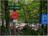 2
2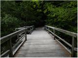 3
3 4
4 5
5 6
6 7
7 8
8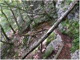 9
9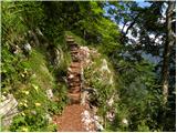 10
10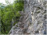 11
11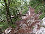 12
12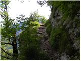 13
13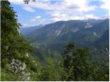 14
14 15
15 16
16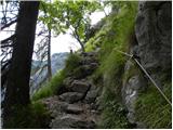 17
17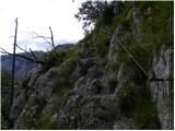 18
18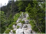 19
19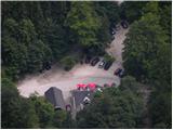 20
20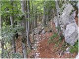 21
21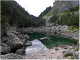 22
22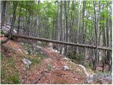 23
23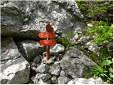 24
24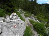 25
25 26
26 27
27 28
28 29
29 30
30 31
31 32
32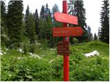 33
33 34
34 35
35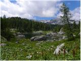 36
36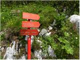 37
37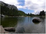 38
38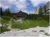 39
39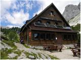 40
40 41
41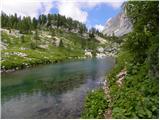 42
42 43
43 44
44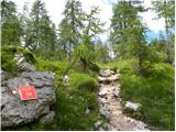 45
45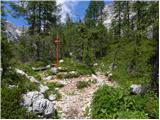 46
46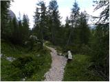 47
47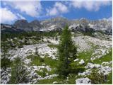 48
48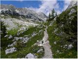 49
49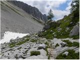 50
50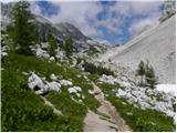 51
51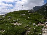 52
52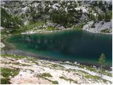 53
53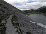 54
54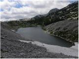 55
55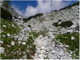 56
56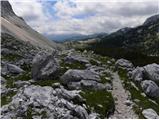 57
57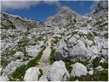 58
58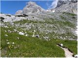 59
59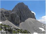 60
60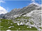 61
61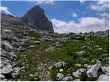 62
62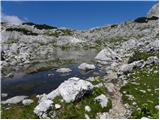 63
63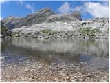 64
64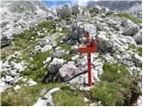 65
65 66
66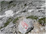 67
67 68
68 69
69 70
70 71
71 72
72 73
73 74
74 75
75 76
76 77
77 78
78 79
79 80
80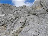 81
81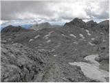 82
82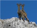 83
83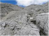 84
84 85
85 86
86 87
87 88
88 89
89 90
90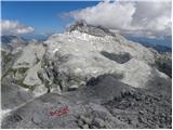 91
91
Discussion about the trail Koča pri Savici - Kanjavec (via Triglavska jezera)
|
| Guest10. 08. 2007 |
Lepa ideja za izlet!
Pot je res polna lepih presenecenj.
Mnogo cvetja, pa tudi mnogo zivali vidis.
P.S.
Ali so tudi od vas v koci pri 7 jezerih zahtevali, da pustite nahrbtnike in palice pred jedilnico?
|
|
|
|
| Guest11. 08. 2007 |
Saj to ni nič slabega - koča na sedmerih je zelo obiskana in če je v jedilnici poleg gostov še planinska oprema, se moraš kar čez nahrbtnike in palice prestopat. Sama največkrat pustim nahrbtnik in palice zunaj, čeprav tega še nikjer niso zahtevali od mene.  LpLj
|
|
|
|
| mkonci1. 07. 2008 |
Zanima me če je kdo šel po tej poti na Kranjavec (čez Triglavska jezera)? Je mogoče prepadna? 
|
|
|
|
| Tadej1. 07. 2008 |
Na omenjeni poti je "prepadna" samo Komarča. Drugače je pot razmeroma lahka.
|
|
|
|
| jackman8. 07. 2010 |
7.7.2010 sem se s kolegom po tej poti podal na Kanjavec.
Pot je ves čas dobro markirana in ni nevarna (razen v vzponu na Komarčo), je pa naporna in dolga.
Ponekod je rastlinsko rastje na poti pregosto, hojo pa nekajkrat ovirajo tudi podrta drevesa.
Opazil sem, da je jezero pred kočo polno alg in zato zeleno. Ostala jezera so čista.
V delu poti med Hribaricam in Kanjavcem je snega še ogromno. Vzpon na vrh zato v velikem delu poteka po snegu (cepin in dereze so obvezne).
Na samem vrhu snega ni.
|
|
|
|
| ljubitelj gora8. 08. 2010 |
Danes opravil to pot, je zelo zanimiva, dobro označena, zjutraj so bile skale mastne od rose...
|
|
|
|
| gornica11. 07. 2011 |
Pozdrav vsem ljubiteljem gora!Zanima me,če je pred kratkim kdo opravil vzpon na Kanjavec od koče pri Savici čez Komarčo in Triglavska jezera.Kakšna je pot?
Lep pozdrav in hvala za informacije.
|
|
|
|
| gribcsi26. 08. 2011 |
Včeraj smo opravili to pot. Gre za izjemno lepo in razgibano pot. Je pa precej dolga, zato ni ravno veliko časa za uživanje v čudovitih razgledih. Zadnji vzpon na Kanjevec bo slabše kondicijsko pripravljenim pobral kar precej energije, ampak plačilo za trud bo poplačal razgled iz vrha. Bilo je precej vroče, zato si seboj vzemite dovolj tekočine. Sam sem jo porabil 6 litrov in izgubil 3 kg na celi poti. Zadnji spust iz Komarče do parkirišča zahteva precej pazljivosti, še posebej zaradi utrujenih nog po 11 urah hoda. A vse to v uvid le tistim malce manj pripravljenim. Izkoristite lepo vreme in uživajte v tej čudoviti poti na Kanjevec.
|
|
|
|
| marija14. 08. 2012 |
Z možem želiva naslednji teden planinariti iz Kota na Rjavino, Staničev dom, Cmir, spodnjo vrbanovo špico. Kaj priporočate. Želela sva do do debelega kamna, na desnbo do Spodnje vrbanove špice, nazaj do križišča in na levo na Rjavino nato pa preko Dovških vratc na Staničev dom. Koliko ur traja ta tura? Prav tako razmišljava, da bi pot naslednji dan nadalejvala do Kredarice, Doliča, Prehodavcev do Koče pri triglavskih jezerih... Sprašujeva, od kje je najboljše, da se povzpneva še na Kanjavec. Hvala in veliko lepih planinskih doživetij. 
|
|
|
|
| Jure874. 08. 2012 |
Lepa pot na Kanjavec je od koče na Doliču, nazaj dol pa proti triglavskim jezerom. Na poti s Kanjavca proti triglavskim jezerom sem od zelo blizu videl in fotografiral skupino kozorogov.
|
|
|
|
| seinfeld26. 08. 2016 |
Smo opravili to pot od koče naprej 24. avgusta. Prekrasna pot. Imam pa pripombo na čas, v treh urah opraviti to pot je skoraj nemogoče, še posebej od razcepa Hribaric na Kanjavec je pol ure absolutno premalo. Pot je zelo strma in močno krušljiva. Mi smo od Koče do vrha, s postanki, potrebovali 4ure20min.
|
|
|
|
| garmont26. 08. 2016 |
V opisu poti je čas hoje 6 ur... 
|
|
|
|
| seinfeld26. 08. 2016 |
Se opravičujem, sem nejasno napisal. Prespali in zjutraj štartali smo od Koče pri Triglavskih jezerih. Prejšnji dan smo prišli od Planine Blato.
|
|
|
|
| Zdenkob7. 08. 2017 |
Na to turo sem se odpravil v petek, 4.8. zjutraj s parkirišča ob koči pri Savici. Do Hribaric je še nekako šlo, potem pa mi je zaradi vročine začelo zmanjkovati vode in sem se raje obrnil proti koči na Prehodavcih. Prenočit sem šel v kočo pri Sedmerih jezerih, kjer je bila malo manjša gneča, turo pa sem naslednji dan zaključil preko Komne nazaj v dolino.
Najbolj me je fasciniralo jezero v Ledvički s svojo kristalno čisto vodo prekrasne modre barve, ki se ji nekateri (mlajši) planinci niso mogli upreti in so se šli osvežit vanj.
|
|
|
|
| michael6629. 10. 2018 |
Po moje je nekaj podobnega kot na Kredarici (podobna nadmorska višina),če pogledaš spletno kamero.Trenutno je plus 4 stopinje in dežuje na Kredarici.
|
|
|
|
| PetraPetra23. 08. 2020 |
A je kdo pred kratkim prehodil to pot? Zanima me, ali je na poti na Kanjavec kaj snega in je zaradi tega neprehodno...brez derez in cepina (tega nimam).
|
|
|
|
| Vanč 17. 11. 2024 10:37:06 |
mene zanima ce za to pot res potrebujes samo 6h
zdi se malo neverjetno za toliko visincov in km
Lp
|
|
|
|
| dprapr17. 11. 2024 20:49:15 |
To je cca 333m na uro. S primerno kondicijo ni pretirano. V primerjavi s 6,5 ur na Triglav iz Vrat čez Plemenice, je to kar realno. Tisto pa je pretirano, vsaj 1 uro preveč.
|
|
|