Koča pri Savici - Veliko Špičje
Starting point: Koča pri Savici (653 m)
| Lat/Lon: | 46,2896°N 13,8022°E |
| |
Time of walking: 5 h 30 min
Difficulty: difficult marked way
Altitude difference: 1745 m
Altitude difference po putu: 1745 m
Map: Triglav 1:25.000
Recommended equipment (summer): helmet, self belay set
Recommended equipment (winter): helmet, self belay set, ice axe, crampons
Views: 36.033
 | 5 people like this post |
Access to the starting point:
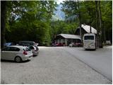
From the motorway Ljubljana - Jesenica, take the Lesce exit and follow the road towards Bled and on to Bohinjska Bistrica. Continue driving towards Bohinjsko jezero (Ribčev laz), at which you will come to a crossroads, where you will continue straight along the left (south) side of the lake in the direction of Ukanec and the Savica waterfall. Follow this increasingly narrow road to the large parking lot at the Savica cottage. There is a charge for parking.
Path description:
From the parking lot, follow the road that crosses the Savica River via a bridge. Continue along the path in the direction of the Triglav Lakes. The initially gentle path soon becomes steep and climbs up the southern lower slopes of Komarča. After a good half an hour's walk, the path becomes even steeper and leads to technically difficult places. The path along the Komarča wall is beautifully laid out, but care is needed at every step to avoid slipping. In the more difficult places, the fixed safety gear are helpful to get to the top of the wall more safely. The steep climb, which takes about an hour, ends with a view down the valley to the parking lot where the car is parked. The steepness then eases, and the path leads us to the Black Lake in five minutes of easy walking.
At the beginning of the lake, the path to the right branches off at mountain pasture Viševnik and Pršivec, and we continue straight on along the right-hand side of the lake. On the other side of the lake, the path leads to the next crossroads. Continue straight on towards the huts at Triglav Lakes (Komna on the left). The path continues to climb under the walls of Stador on the right and the Lopučnica forest on the left. After a while the path leads to a grassy clearing where the marked path turns right steeply upwards. After 15 minutes the steepness eases and after a further 15 minutes the path leads to the next crossroads, where it continues to the left (to the right mountain pasture Ovčarija, Dedno polje and Blato). There is a gentle climb up to a point where you can see the Double Lake in front of you. The trail continues gently downhill to the lake and continues on the right-hand side. Here you come to a crossroads where the path to Tičarica branches off to the right. Continue on the lower path, which after a few minutes of further walking leads us to the hut at Triglav Lakes, which we can see in front of us.
At the hut, head in the direction Triglav straight ahead. Just a few metres from the hut, you will pass the artificial lake Močivec, which is the source of drinking water at the hut. The path then climbs moderately up the valley of the Triglav Lakes. During the ascent, you can admire the walls of Tičarice and Kopica on the right, while to the left you can admire the views towards the Špičja ridge. The way ahead leads to the next crossroads, where we continue to the left in the direction of Veliko Špičje (straight Prehodavci). The marked path towards Veliko Špičje then gradually leaves the valley of the Triglav Lakes and climbs only gently. The path then crosses lane of dwarf pines and then starts to climb more steeply. Higher up, the path turns onto steep grassy slopes which are dangerous to slip on in wet conditions. The path gradually becomes technically difficult as the views get better and better. With the help of rope cables, we climb a rock step higher, and then it leads us to the main ridge of Špičje. Here we continue to the left (right Zasavska koča) along the path which, after a few more minutes, leads us to the top of Velikega Špičja. Starting point - Hut at Triglav Lakes 3:00, Hut at Triglav Lakes - Veliko Špičje 2:30.

Pictures:
 1
1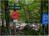 2
2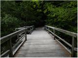 3
3 4
4 5
5 6
6 7
7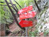 8
8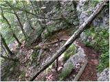 9
9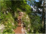 10
10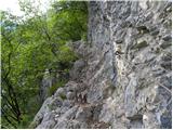 11
11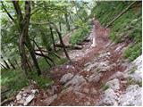 12
12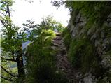 13
13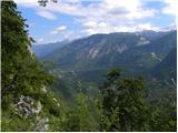 14
14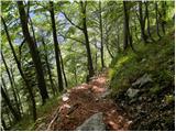 15
15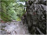 16
16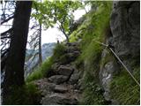 17
17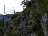 18
18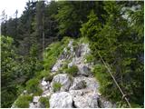 19
19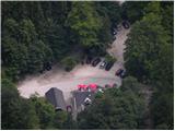 20
20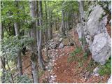 21
21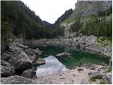 22
22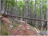 23
23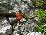 24
24 25
25 26
26 27
27 28
28 29
29 30
30 31
31 32
32 33
33 34
34 35
35 36
36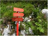 37
37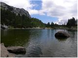 38
38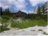 39
39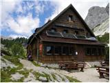 40
40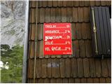 41
41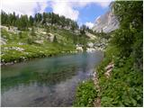 42
42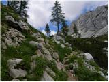 43
43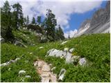 44
44 45
45 46
46 47
47 48
48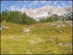 49
49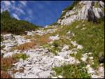 50
50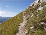 51
51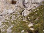 52
52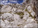 53
53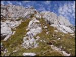 54
54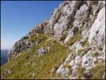 55
55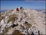 56
56
Discussion about the trail Koča pri Savici - Veliko Špičje
|
| peterhaf18. 02. 2009 |
Imam vprašanje. Je pot pretežka za to, da bi vzel s seboj psa (je vajen gora)? Seveda bi šel do Koče pri Triglavskih preko Komne.
|
|
|
|
| Lj18. 02. 2009 |
Po moje je na tej poti preveč vzpenjanja po skalah, da bi pes užival, čeprav vajen gora. Tole bi bilo bolj mučenje psa, za njega je primerna spodnja pot Triglavska jezera - Prehodavci.
|
|
|
|
| aleš431. 11. 2009 |
Ne, ne. Prevezahtevna pot za kr vsakega gornika. Kaj šele psa!  Le dobro fizično pripravljeni gorniki pridejo iz Koče pri Savici v 5:30 na vrh.  Jst sem rabu 6:00 do nmv 2250 m,  potem pa sem se moral zaradi ure (timing) vrniti nazaj prek komarčne v dolino do avta! 11 ur z pavzami! V trdni temi sem se vrnil! Dan je enostavno prekratek!  Ogromno energije gre že do Koče pri Triglavskih jezer 3:00 ure. Komarčna da svoj davek!  Je pa to zanimiva tura v lepem vremenu, je kej videt, čudovito.
|
|
|
|
| JožiG1. 07. 2016 |
Nisem dobro fizično pripravljena, pa sem vendarle prišla na vrh. Sem pa potem s težavo prišla dol, saj smo se vračali po daljši poti, na Prehodavce in je bila tura zelo dolga. 12,5 ur s pavzam, je za nekoga, ki je bil letos do sedaj le na Veliki planini, zelo težko  . Je zelo lepa tura, priporočam pa vsakemu, da prej naredi nekaj lažjih tur in pridobi kondicijo. 
|
|
|
|
| Hribovc919. 10. 2022 22:55:58 |
Lepa (predvsem jeseni), malo obiskana (od Triglavskih jezer dalje) in hkrati dolga pot.Vsekakor bi priporočal, da za čas vzpona računate 6 ur.
|
|
|