Kočevje - Mestni vrh (Kalan way)
Starting point: Kočevje (464 m)
| Lat/Lon: | 45,633°N 14,8585°E |
| |
Name of path: Kalan way
Time of walking: 1 h 30 min
Difficulty: easy marked way
Altitude difference: 570 m
Altitude difference po putu: 570 m
Map:
Recommended equipment (summer):
Recommended equipment (winter): crampons
Views: 16.217
 | 3 people like this post |
Access to the starting point:
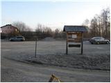
First drive to Kočevje, then look for Podgorska street (it branches off the main road to the right - the route of travel is towards Delnice). At the end of the street you will see mountain signs and a nicely arranged parking lot.
Path description:
From the parking lot, walk to a well-marked crossroads, then continue right towards Kalanova cesta (left Grajska pot). The marked path, which initially runs along the road, soon leaves the road and continues left through the forest. Continue along the path, which steepens in gradient and crosses the forest road several times. Higher up, the steepness eases and the path joins the forest road, along which the ascent continues. The road soon starts to descend and leads us in a few steps to a marked crossroads, where we continue left on the footpath in the direction of Mestni vrh (straight cottage at Jelenovem studencu 3 minutes, right Ledenik).
The well-marked path continues to climb steeply again and just below the summit leads us to a viewpoint from which we open a view towards Kočevje.
Continue to the right on a less steep path, which leads us to the summit in a few steps of further walking.
Pictures:
 1
1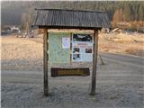 2
2 3
3 4
4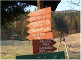 5
5 6
6 7
7 8
8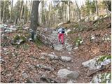 9
9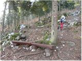 10
10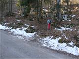 11
11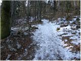 12
12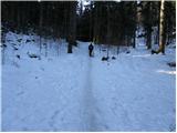 13
13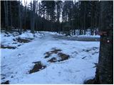 14
14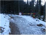 15
15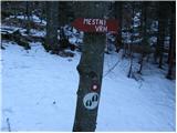 16
16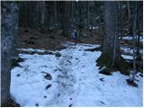 17
17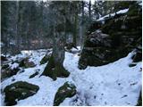 18
18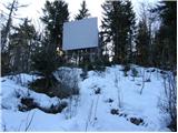 19
19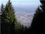 20
20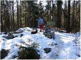 21
21
Discussion about the trail Kočevje - Mestni vrh (Kalan way)
|
| Thoor28. 03. 2016 |
Včeraj se povzpel po tej poti. Super turca za nabiranje kondicije...
|
|
|
|
| Laščan16. 04. 2016 |
Prosim za predlog krožne poti Mestni vrh-Fridrihštajn, ali obratno!
|
|
|