Kočevska Reka - Goteniški Snežnik
Starting point: Kočevska Reka (550 m)
| Lat/Lon: | 45,5837°N 14,7856°E |
| |
Time of walking: 2 h 45 min
Difficulty: easy marked way
Altitude difference: 739 m
Altitude difference po putu: 739 m
Map:
Recommended equipment (summer):
Recommended equipment (winter):
Views: 13.205
 | 1 person likes this post |
Access to the starting point:
From Ljubljana, we drive to Kočevje. Shortly after Ribnica, near Dolenja vas, we will see signs for the villages Grčarice, Gotenica and Kočevska Reka, which will direct us off the main road to the right. Follow the road through the village Grčarice and Gotenica to the road marker 15km. Only a few 10 metres further on you will see a dirt road which branches off the main road to the right. Park along the road, where you will immediately see signs. Where we park depends on how long we want to walk.
Path description:
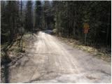
The macadam road descends gently at first and then begins to climb through vast forests. The higher marked path leaves the road (shortcut) a few times but soon joins it. After a long walk along the road, which has several crossroads (follow the markings), you finally leave it and continue your ascent along a relatively overgrown mountain path, which begins to climb more steeply. The marked path then turns slightly to the right and after a few minutes of further walking leads us under the Goteniški Snežnik peak itself.
Here the overgrown path continues to climb steeply over a short jump, then the steepness subsides. Follow this path, which passes through the forest the whole way, to the top of Goteniški Snežnik, from which a view opens up to the north-east.
Pictures:
 1
1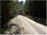 2
2 3
3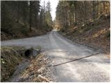 4
4 5
5 6
6 7
7 8
8 9
9 10
10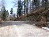 11
11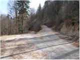 12
12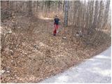 13
13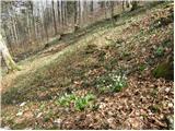 14
14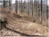 15
15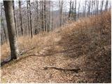 16
16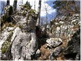 17
17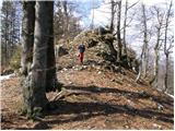 18
18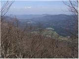 19
19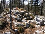 20
20
Discussion about the trail Kočevska Reka - Goteniški Snežnik