Kočna - Spominsko obeležje Aleš Kunaver
Starting point: Kočna (660 m)
| Lat/Lon: | 46,4179°N 14,0831°E |
| |
Time of walking: 25 min
Difficulty: easy unmarked way
Altitude difference: 0 m
Altitude difference po putu: 120 m
Map: TNP 1:50.000
Recommended equipment (summer):
Recommended equipment (winter): ice axe, crampons
Views: 3.244
 | 2 people like this post |
Access to the starting point:
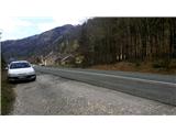
From the motorway Ljubljana - Jesenice take the exit Lipce, where you turn left in the direction of Blejska Dobrava and Spodnje Gorje. Soon after crossing the railway underpass, we are at the next crossroads, where we turn right - Bled, Kočna. The road, serpentine at first, climbs straight westwards and soon reaches the summit or settlement of Kočna in a left turn. Our starting point is on the left side of the road, a few metres before the local sign. Because of the unbroken line, continue past the first houses, where you will see a bus stop on the right. Here we turn around and go back, almost to the bend, before descending back down into the valley. We stop in a gravel parking lot.
Path description:
From the starting point, follow the road back towards the village. After 250 m, a few metres before the bus stop, turn right onto the narrow asphalted side road on your left, which takes you past a few houses and up a small hill. After a left turn, the road flattens out and loses its asphalt base, leading to a larger meadow. Continue along cart track, which initially keeps slightly to the left and climbs slightly along the edge of the wood, passing a pasture on the right. Soon you will find yourself on a saddle between two peaks - Žerjavec and Vršami, where there is a crossroads. Here, turn right onto the second, gentle forest path, which crosses the northern slope of hill Vrše (the first one climbs towards the top of the hill). After a few minutes' walk along the wide and gentle forest path, you will come close to the boulder on the left. About 10 metres ahead, crossing a small stream, you will come across a small, less visible fork to the left, which you should take. From here, the path takes you past two large boulders and down an occasionally steep slope for about 50 metres. After descending for a few minutes, you will come across a wider forest path that crosses the slope, which you follow in the route to the right for only a few metres. Soon we see a signpost on one of the trees with the inscription "Aleš Kunaver memorial", which directs us to the left, to a less visible path past cairn. After about 50 metres of walking in a westerly direction, we come across a rock with a memorial in the middle of the forest.

Pictures:
 1
1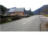 2
2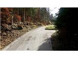 3
3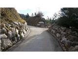 4
4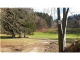 5
5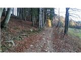 6
6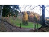 7
7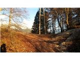 8
8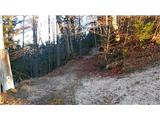 9
9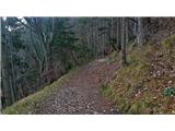 10
10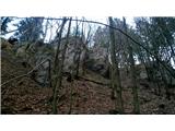 11
11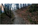 12
12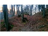 13
13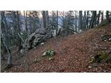 14
14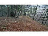 15
15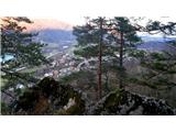 16
16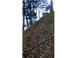 17
17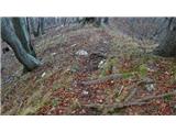 18
18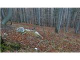 19
19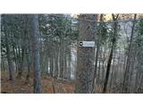 20
20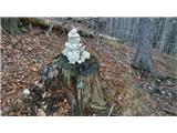 21
21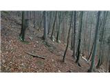 22
22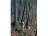 23
23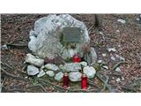 24
24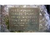 25
25
Discussion about the trail Kočna - Spominsko obeležje Aleš Kunaver
|
| Majdag28. 02. 2017 |
...Pot je markirana z rumenimi pikami in puščicami iz Kočne do cerkve na Bl. Dobravi. Mi je včeraj povedal Hasan. Naredili bodo še tablice z oznakami. Tudi do obeležja bodo označili pot. Hvala markacisti. 
|
|
|