Kokarje (ŠRC Laze) - Dom planincev Farbanca
Starting point: Kokarje (ŠRC Laze) (368 m)
| Lat/Lon: | 46,2983°N 14,9377°E |
| |
Time of walking: 1 h 15 min
Difficulty: easy marked way
Altitude difference: 334 m
Altitude difference po putu: 360 m
Map: Kamniške in Savinjske Alpe 1:50.000
Recommended equipment (summer):
Recommended equipment (winter): ice axe, crampons
Views: 2.330
 | 1 person likes this post |
Access to the starting point:
a) First, drive to Mozirje (accessed from Šoštanj or the Ljubljana - Maribor motorway (exit Šentrupert), from where you continue from the main roundabout towards Gornji Grad and the Logar valley. A few kilometres further on, after the Petrol station, turn left in the direction of Nazarje. Continue through Nazarje, following the signs for Dobletina and Šmartno ob Dreti. Shortly after Dobletina and before Lačja vas, turn left in the direction of Kokari. Cross the bridge over the river Dreta, then quickly arrive at Kokarje, where at the marked crossroads continue slightly to the right in the direction of the Laze sports ground, which is reached after a further 100 m of driving. Park in the parking lot next to ŠRC Laze.
b) Drive to Šmartno ob Dreti (to get here from Gornji Grad, Ljubno ob Savinji or Vransko via the Lipa Pass), then continue driving towards Nazarje. After Lačja vas turn right in the direction of Kokary. Cross the bridge over the river Dreta, then quickly arrive at Kokarje, where at the marked crossroads turn slightly right in the direction of the Laze sports ground, which is reached after a further 100 m of driving. Park in the parking lot next to ŠRC Laze.
Path description:
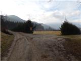
There is a marked crossroads near the starting point, from where you take the lower road in the route Dom na Farbanci (slightly left Čreta via Tajna). The route initially takes you alongside the sports ground, where you continue straight ahead or slightly left at an unmarked crossroads. On the other side of ŠRC Laze, the road turns into cart track, which turns into a forest. Follow the wide cart track in the direction of the markings at a few forks, then at the point where cart track turns right and crosses the stream, continue left on the steep path. The track quickly becomes level, and then at the crossroads follow the markings again. A little further on, the climb ends and there is a descent to a nearby asphalt road, which is followed to the right, and after passing two houses, you quickly reach the mountain direction signs, where you continue left over a wooden bridge, onto a footpath in the direction of Doma na Farbanci. Then climb through the forest, first following the cart track, and higher up the well-maintained footpath, which leads past the Light Well. Above the well, cross another cart track, and then the relatively steep path slopes down a little and becomes an undistinguished valley. From the valley, soon turn slightly to the right, then first join the cart track, and a few steps higher still, a dirt road, which quickly leads to the Dom mountaineers na Farbanca (The House of the Mountaineers on Farbanca).
Description and pictures refer to the situation in 2016 (January).

Pictures:
 1
1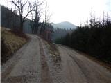 2
2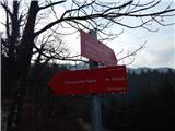 3
3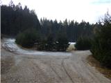 4
4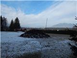 5
5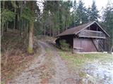 6
6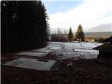 7
7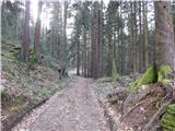 8
8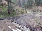 9
9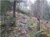 10
10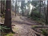 11
11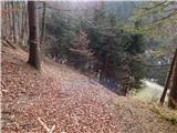 12
12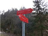 13
13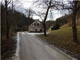 14
14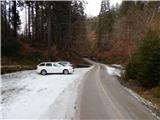 15
15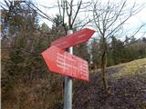 16
16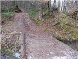 17
17 18
18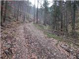 19
19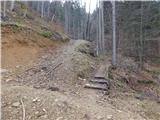 20
20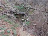 21
21 22
22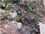 23
23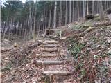 24
24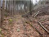 25
25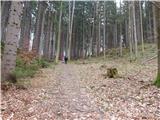 26
26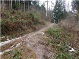 27
27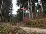 28
28 29
29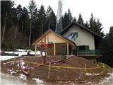 30
30
Discussion about the trail Kokarje (ŠRC Laze) - Dom planincev Farbanca