Kokra (Podlebelca) - Planina Dolga njiva (Krvavec)
Starting point: Kokra (Podlebelca) (559 m)
| Lat/Lon: | 46,319°N 14,4986°E |
| |
Time of walking: 3 h
Difficulty: partly demanding marked way
Altitude difference: 1129 m
Altitude difference po putu: 1129 m
Map: Kamniške in Savinjske Alpe 1:50.000
Recommended equipment (summer): helmet
Recommended equipment (winter): helmet, ice axe, crampons
Views: 11.473
 | 1 person likes this post |
Access to the starting point:
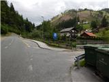
a) Drive to Preddvor or to the settlement Tupaliče, which is located on the main road Kranj - Zgornje Jezersko, and then continue driving in the direction of Jezersko. Once you reach Kokra, at the road sign between 8. 5 km and 8 km, turn right over the bridge into the hamlet of Podlebelca, where the route described above begins. There are no parking places at the starting point, so park in a suitable place nearby.
b) From Jezersko, drive towards Preddvor, and at the road sign between 8 km and 8. 5 km, turn left over the bridge into the hamlet of Podlebelca, where the described route begins. There are no parking places at the starting point, park in a suitable place nearby.
Path description:
Behind the bridge, you will see red mountain direction signs directing you to the road that climbs through the village of Podlebelca. Follow the signs past the houses, and the asphalt ends above the hamlet. After a short climb through the forest, you reach a large chapel, after which you turn left onto the marked cart track. Cart track immediately splits, and we take the right one, along which the markings continue. A little higher we reach an asphalt road leading to the farms Roblek, Pestotnik and Lovrin, and we follow it to the first right turn. After the bend, the footpath continues, climbing quickly to where you cross the road leading to Lovrin Farm. We continue through the wods, and the path gradually climbs up and along an undistinguished woded ridge. Higher up, we cross an asphalt road leading to the Roblek farm, and we climb steeply for a few more minutes before joining the cart track road leading from the Roblek farm.
Continue straight ahead, following the initially wide cart track, which you soon leave, as the signs direct you to the right onto a footpath. A further, not to steep path then leads us to a larger rock, where the next marked crossroads is this time. Continue straight ahead (right Krvavec) along the path, which gradually starts to climb steeper and leads us higher under a large rocky peak, which is already visible from the Kokra valley. The path retreats slightly to the left of the boulder, and then, when we are a little higher up, it turns to the right and comes quite close to the rocky cliffs on our right. The path ahead leads us in a moderate ascent to a short lane of dwarf pines after which we reach Lojtra. Lojtra is a slightly exposed passage on a wide and well protected shelf. After crossing this part, there is only a short scramble up the slopes (a ropeway), and then the steepness of the slopes eases. Continue along the path ascending through dwarf pines. After 15 minutes, dwarf pines ends and the path leads to the vast pastures of Dolga njiva, where you reach a crossroads. Continue straight on (right Krvavec) and after a few more steps the path leads to an old shepherd's hut at the above-mentioned mountain pasture.

Pictures:
 1
1 2
2 3
3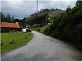 4
4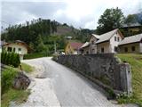 5
5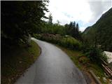 6
6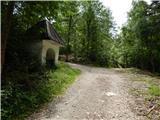 7
7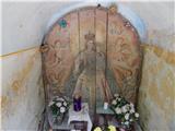 8
8 9
9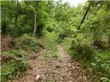 10
10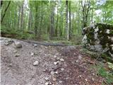 11
11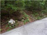 12
12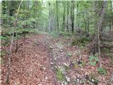 13
13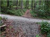 14
14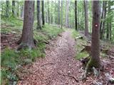 15
15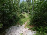 16
16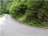 17
17 18
18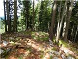 19
19 20
20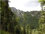 21
21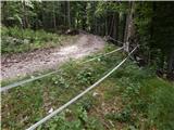 22
22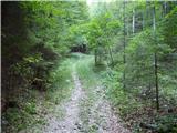 23
23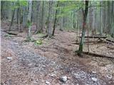 24
24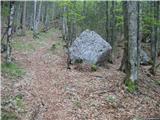 25
25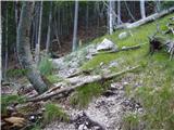 26
26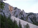 27
27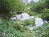 28
28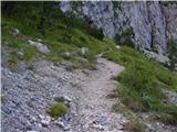 29
29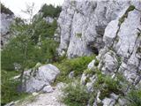 30
30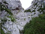 31
31 32
32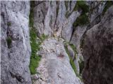 33
33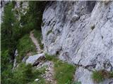 34
34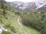 35
35 36
36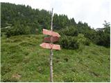 37
37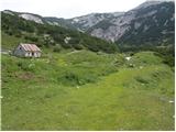 38
38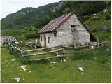 39
39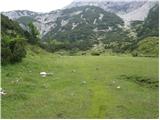 40
40 41
41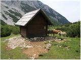 42
42
Discussion about the trail Kokra (Podlebelca) - Planina Dolga njiva (Krvavec)
|
| karlin25. 05. 2009 |
Danes sem se odpravil po tej poti- rečem lahko, da je pot zelo lepa, razgibana, v prvem delu skozi Roblekov kot pa pravi kolenogriz  Hkrati apeliram na PD Onger, ki naj bi bil skrnik poti, da se je rušje močno zaraslo in predstavlja veliko oviro na poti, tako da bi ga bilo potrebno malo "oklestiti"  Pot sem nadaljeval na Škrbino, preko Vrha Korena do Velikega zvoha in po prečni poti nazaj na planino in navzdol na izhodišče...
|
|
|
|
| velkavrh21. 08. 2009 |
Štartal sem od cerkve,do visokogorske kmetije Roblek je tričetrt ure.Šel sem čez njihovo dvorišče po gozdni poti.Po dvajsetih minutah se pride do oznak,kjer zavijemo desno.Kar eno uro hodimo po prijetnem bukovem in mešanim gozdom.Pot postane strma.Pridemo do skalnega dela ,kjer nas čakajo tri jeklenice.Na poti je veliko drobirja.Vrhni del je res ves zaraščen z ruševjem.Ves trud je poplačan,ko prispemo na planino.Za mene je to najlepša krvavška planina.Ima celo izvir vode,ki ne presahne niti ob največji suši.Trenutno se gor pase čreda konj.Nazaj seveda po isti poti.Za popestritev dopoldanskega pohoda sem si ogledal še prelep slap pritoka reke Kokre ,ki je tik za mostom na desni strani opisan na panoju kot razgledna točka.
|
|
|
|
| anak14. 08. 2011 |
Parkirali smo na parkirišču, ki je na sliki in sledili začetku poti. Ta pot nikakor ni markirana, opaziš samo možica. Po levi varianti bi verjetno prišli na markirano pot ( črtkana stezica na zemljevidu), ampak smo šli preveč desno in potem obrnili. Markirana steza prečka cesto nekoliko višje, na vrhu klanca pod Roblekom, kjer pa je samo manjše parkirišče. Višje poti ni bilo težko slediti. Na planini so nas pričakali konji, mehka trata in hladna studenčnica.
|
|
|