Starting point: Komare doline (297 m)
| Lat/Lon: | 45,4969°N 13,8867°E |
| |
Time of walking: 35 min
Difficulty: easy marked way
Altitude difference: 154 m
Altitude difference po putu: 160 m
Map: Slovenska Istra - Čičarija, Brkini in Kras 1:50.000
Recommended equipment (summer):
Recommended equipment (winter):
Views: 4.628
 | 1 person likes this post |
Access to the starting point:
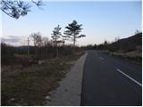
From the motorway Ljubljana - Koper take the exit Črni Kal. From Črni Kal, continue along the old road towards the sea, and we take it only as far as the next slightly larger crossroads, where we turn left towards Border crossing Sočerga. Follow the road past Kubed to the village of Gračišče, where you turn left at the junction in the direction of Rakitovec, Movraž and Smokvica. From Gračišče, drive for about 800 m, and then you will see markings along the road and an inscription on a rock for Lačno, pointing to the left. Park here in a suitable place along the road. The starting point is about 50 m before the next small crossroads.
The starting point can also be reached from the coast via Prade, Pobegi, Čežarji, and Sveti Anton.
Path description:
From the starting point, follow the marked footpath towards Lačná. The path first crosses a rather overgrown meadow and then joins the wider cart track, which we follow. At the crossroads, follow the signs and cart track turns into a slightly steeper and in several places overgrown mountain path. Higher up, we get some views of the surrounding hills, and the path leads us just a little further on to the ridge of Lačná, where we also step onto the wide cart track.
Follow the track to the left (right Vrh križa, Krog, Kuk, Gradež, Slavnik. . . ) and it leads us in a gentle ascent over partly grassy slopes. After a few minutes, the markings cart track direct us to the right on a marked path, which quickly leads to the top of Lačná.
From the top, you can climb to the lookout tower, which offers a beautiful view of Slavnik, Učka, the Gulf of Trieste and, in good weather, all the way to Dolomites and the Julian Alps.
Pictures:
 1
1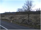 2
2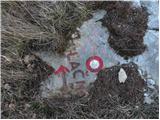 3
3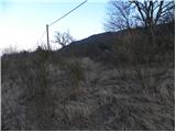 4
4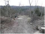 5
5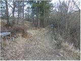 6
6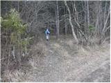 7
7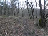 8
8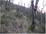 9
9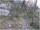 10
10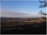 11
11 12
12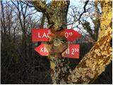 13
13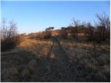 14
14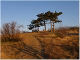 15
15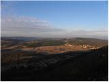 16
16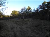 17
17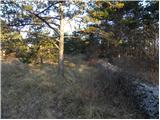 18
18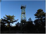 19
19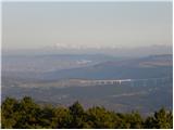 20
20
Discussion about the trail Komare doline - Lačna
|
| Kigeot6. 02. 2015 |
Konec januarja sva šla po tej poti in v začetku ni bilo enostavno najti pravo pot. Oznaka na sliki 3. je čisto zaraščena, iz avta se jo sploh ne opazi, moraš jo najti peš. Moja "navodila" sem zapisala kar na blog: blog: Komare Doline - Lačna
|
|
|
|
| Isonja31. 10. 2022 10:12:38 |
Po tej poti smo šli konec oktobra 2022. Mislim, da bi bilo bolje, da bi pri oznaki poti pisalo "lahka neoznačena pot", saj je stanje še slabše, kot o njem poroča Kigeot. Pot je vsaj na prvi polovici zelo zaraščena, markacije so večinoma popolnoma zbledele ali pa jih je samo še kakšen delček, ker je drugo lubje odpadlo. Tako kot Kigeot opozarjam na začetek poti. Ta je sicer še kar viden s ceste, ker je zdaj oznaka na električnem drogu, ampak ko parkiraš in se usmeriš na pot, te kaj lahko zavedejo oznake in greš po vidnem kolovozu, kar pa je napačno. V bistvu moraš iti desno od tega kolovoza, kar med grmovjem in drevjem, saj je pot zaraščena. Orientacija je, da zelo hitro prideš do (zapuščenega?) strelišča. Mi smo šli nato levo ob njem, a nismo našli nobene oznake, kje naj bi zavili v gozd in v hrib, zato smo šli po občutku in malo višje v gozdu res naleteli na stezo, ki pa je večkrat izgledala zaraščena in smo spet nadaljevali po občutku. Šele tam nekje kot kažeta sliki 9 in 10 je steza jasno vidna. Smo pa v zahvalo za vztrajnost imeli zelo lep razgled vse do morja in čudovite barve jesenskega ruja.
|
|
|