Konjska raven (Pokljuka) - Galetovec
Starting point: Konjska raven (Pokljuka) (1220 m)
| Lat/Lon: | 46,3322°N 14,0167°E |
| |
Time of walking: 50 min
Difficulty: easy marked way
Altitude difference: 45 m
Altitude difference po putu: 65 m
Map: TNP 1:50.000
Recommended equipment (summer):
Recommended equipment (winter):
Views: 10.770
 | 2 people like this post |
Access to the starting point:
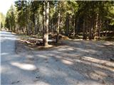
a) From Bled or Jesenice drive to Pokljuka, then turn left towards Bohinj once you are on the plateau. Continue along the road towards Gorjuše, and between the road signs 3. 5 and 4 km, turn left onto the forest road towards Belska mountain pasture. Park in a suitable place at the junction.
b) From Železniki or Podbrdo, take the road to Bohinjska Bistrica, then continue in the direction of Bled. Shortly after the Petrol station, which is located just after Bohinjska Bistrica, turn left in the direction of Pokljuka and Jereka. The road climbs steeply at first, then gradually flattens out behind Koriti, leading to a junction by the bus station, where you continue right in the direction of Pokljuka, Koprivnik and Jereka (straight ahead Srednja vas). Just after the crossroads we arrive at Jereka, and from the crossroads in front of the church we continue straight towards Pokljuka (left Podjelje). After Jereka the road starts to climb steeply again, and higher up it levels off and continues along the Mrzle potok, where the road to Koprivnik v Bohinju branches off to the left, and we continue straight towards Pokljuka and Gorjuši. After Gorjuše the road turns into a forest, and we follow it to a road marker between 4 and 3. 5 km, where we turn right, onto a forest road in the direction of Belska mountain pasture. Park in a suitable place at the junction.
Path description:
From the starting point, continue along the dirt road in the direction of Belska mountain pasture. The road ascends gently through a spruce forest, and when the forest begins to thin out, you arrive at the outskirts of Belska mountain pasture. Here we come to a small crossroads, and we continue along a road slightly to the left, which leads us into the heart of mountain pasture, where there are several wooden huts.
On the other side of mountain pasture, we return to the road slightly to the right and follow it along a small valley to a marked crossroads a few minutes away.
From the crossroads continue right in the direction of Galetovec and Bohinjska Bela (straight ahead Turn and Bohinjska Bela).
The way forward leads us along the pleasant cart track, which we leave after a few minutes, as the signs for Galetovec direct us to the left, on an initially less visible path that descends along the edge of the forest to a small valley, where it turns into a forest. Through the forest, follow the markings and the forest path, which will take you up to a scenic peak in a few minutes.
Description and pictures refer to the situation in 2017 (May).

Pictures:
 1
1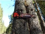 2
2 3
3 4
4 5
5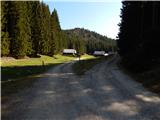 6
6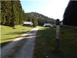 7
7 8
8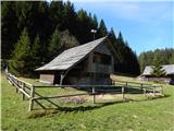 9
9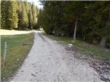 10
10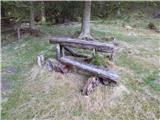 11
11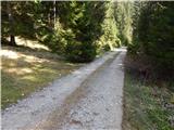 12
12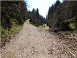 13
13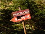 14
14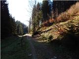 15
15 16
16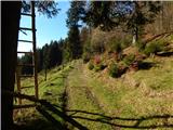 17
17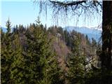 18
18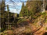 19
19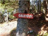 20
20 21
21 22
22 23
23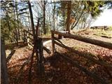 24
24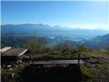 25
25 26
26
Discussion about the trail Konjska raven (Pokljuka) - Galetovec
|
| PrimožL31. 08. 2022 15:52:23 |
Čisto vseeno, če se pri Belski planini držite kar glavne ceste in ne hodite čez planino.
|
|
|