Kosmačev preval - Požgana Mlinarica
Starting point: Kosmačev preval (847 m)
| Lat/Lon: | 46,4369°N 13,9308°E |
| |
Time of walking: 6 h 15 min
Difficulty: very difficult unmarked way
Altitude difference: 1021 m
Altitude difference po putu: 1450 m
Map: Triglav 1:25.000
Recommended equipment (summer): helmet
Recommended equipment (winter): helmet, ice axe, crampons
Views: 6.049
 | 2 people like this post |
Access to the starting point:
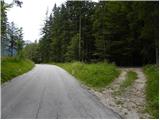
Leave the Gorenjska motorway at exit Jesenice - West (Hrušica) and continue driving towards Kranjska Gora. A little before Dovje, leave the main road and turn left in the direction of Mojstrana and the valleys of Vrata, Kot and Krma. Before crossing Triglav Bistrica, signs for Radovna, Kot and Krma direct you left onto a slightly narrower road that climbs past a few houses. The road climbs steeply above Mojstrana and passes a TNP sign to Kosmačev preval, where the road to the valley of Kot branches off to the right. Park here in a suitable place at the crossroads.
Path description:
From the parking lot, take the cart track, which runs parallel to the road on a slight incline. At the start, take the right-hand cart track, and after two minutes' walk another cart track branches off to the left. There are also cairns at the crossroads to help orientation. The cart track then climbs straight up the slope and later turns into a footpath which starts to climb steeply. The path is not very visible, but the smaller cairns are helpful. The path then turns slightly to the right and leads to an indistinct ridge. Here the path turns left and follows this ridge straight up. The path soon leads off the ridge onto steep slopes and climbs in switchbacks to the main ridge. Here the path turns left again and continues to climb through the forest. The steepness then eases for a short time, but the path soon climbs steeply again. The last part of the trail towards the bivouac is mostly on the slopes above the Vrata valley or along the ridge. The path then flattens out and you see a small house on the right. This is the bivouac on Montenegro.
From the bivouac, continue along the ridge and descend gently at first. Then walk along the ridge for a long time through the forest, climbing and descending several times. We also climb some lesser-known peaks, namely Predelov vrh, Nizka dolina and then Lengarjeva glava, where there is also a lookout point from which the view to the east opens up for the first time. Before that, we had been walking through the forest all the time, so the view was very limited.
From Lengarjeva glava, we continue along the ridge and out of the forest the path leads us to dwarf pines, where we have wonderful views in all directions. There are a few short ascents and descents through dwarf pines, and the ridge is a little steeper in places. There is a climb through a short lane of forest and then a short climb through dwarf pines, which leads us to the scenic peak of Požar.
From the summit on which a large cairn is placed, continue along the ridge and then follow the path through the forest to soon reach a crossroads where the hunting trail from the Kot valley joins us on the left. The path continues along a steep and relatively narrow forested ridge (in wet conditions, a slip hazard). The not-too-challenging path to here then leads to the Rušnata Mlinarica summit, where the less experienced can also finish the trip (the summit is recognisable by its large man).
The route continues along the ridge, which is increasingly overgrown with dwarf pines, but the passages are beautiful as dwarf pines is burnt. A little further on, the path leads to a short steep jump (at a scraped rock), where you have to climb 5 metres steeply upwards using dwarf pines. The route, which follows a relatively steep slope and occasionally a narrow ridge, then leads over a number of precipices and ravines to the rugged and scenic peak Rušnata Mlinarica.
From Rušnata Mlinarica we continue along a narrow and sometimes exposed ridge. The difficulty continues unabated and there are a few more steep climbs and exposed traverses along the way. We mostly avoid the difficulties on the left side of the ridge. This route leads us all the way to the Požgana Mlinarica lookout peak.

Pictures:
 1
1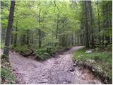 2
2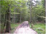 3
3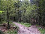 4
4 5
5 6
6 7
7 8
8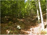 9
9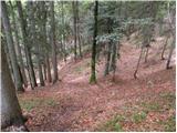 10
10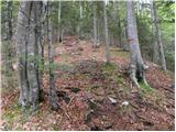 11
11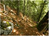 12
12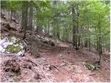 13
13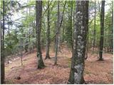 14
14 15
15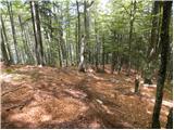 16
16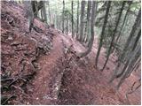 17
17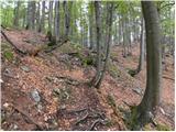 18
18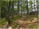 19
19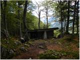 20
20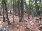 21
21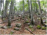 22
22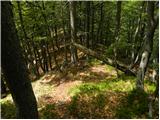 23
23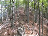 24
24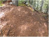 25
25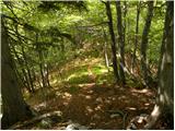 26
26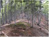 27
27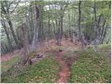 28
28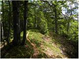 29
29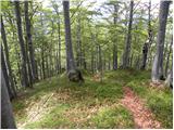 30
30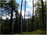 31
31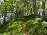 32
32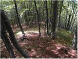 33
33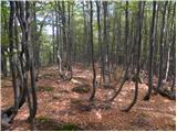 34
34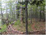 35
35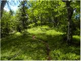 36
36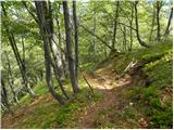 37
37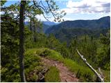 38
38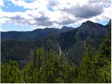 39
39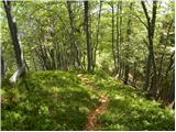 40
40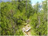 41
41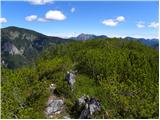 42
42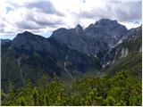 43
43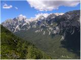 44
44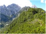 45
45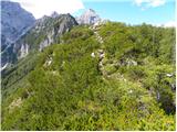 46
46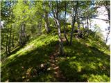 47
47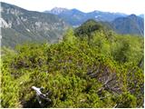 48
48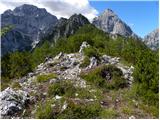 49
49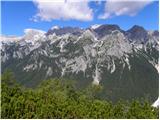 50
50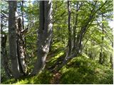 51
51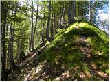 52
52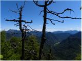 53
53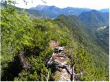 54
54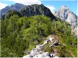 55
55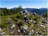 56
56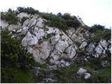 57
57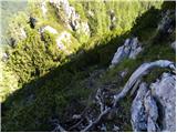 58
58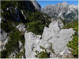 59
59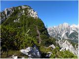 60
60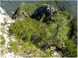 61
61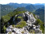 62
62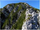 63
63 64
64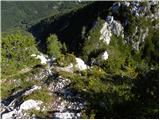 65
65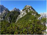 66
66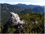 67
67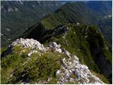 68
68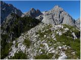 69
69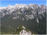 70
70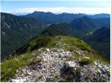 71
71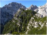 72
72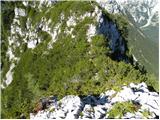 73
73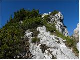 74
74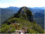 75
75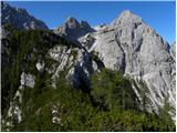 76
76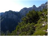 77
77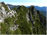 78
78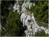 79
79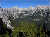 80
80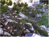 81
81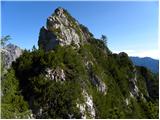 82
82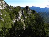 83
83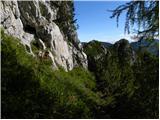 84
84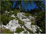 85
85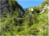 86
86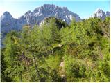 87
87 88
88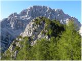 89
89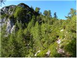 90
90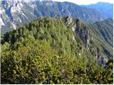 91
91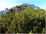 92
92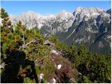 93
93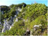 94
94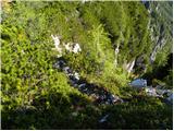 95
95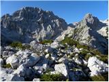 96
96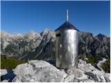 97
97
Discussion about the trail Kosmačev preval - Požgana Mlinarica
|
| JusAvgustin12. 05. 2013 |
Krasna tura za današnji dan. Na vrhu PM nas je celo pričakalo sonce. Za pot smo porabili 3,5 ure. Sestopili smo po polici PP v Kot
|
|
|
|
| Batistuta23. 08. 2020 |
Včeraj smo napravili turo iz Kosmačevega prevala po celotnem grebenu med Kotom in Vrati do Požgane Mlinarice, nato pa spust na Turkov rovt v Vratih. Skupno trajanje 8,5 h. To je mogoče samo z dvema avtoma, enega pustiš v Kotu, drugega v Vratih. Turo smo trije zelo izkušeni planinci v celoti označili za zelo zahtevno. 1. Orientacija: že na Kosmačevem prevalu je težko izbrati pravo pot (glej slike, te najbolje prikažejo, tudi opis je dober), pot do Črne Gore je nekaj časa težko sledljiva. Ko pridemo na greben je pot zaradi samega grebena dokaj logična, vendar še vedno na mestih težko sledljiva. Občasno gremo malo na pamet in spet najdemo pot. Ko prihajamo proti Rušnati Mlinarici se prične plezanje, tam nam večkrat ni jasno po kateri strani naj plezamo. 2. Tehnična težavnost: pot je zahtevna, ker gre velikokrat gor in dol, zato izgubimo veliko več moči, kot nam obeta ''zgolj'' 1868 m visoka gora. V zadnji tretjini je veliko plezanja, varoval ni nobenih, skale so lahko zelo majave, tiste v senci tudi spolzke. Veliko se moramo prebijati skozi zaraslo ruševje, priporočam dolge hlače in čelado, s katero ''odbijamo'' veje v višini glave, tudi očala, da nas ne bi udarila veja. Na nekaterih mestih je ruševje skoraj popolnoma preraslo stezo. Kakšna praska od vej je neizogibna. Velja torej maksimalna previdnost. V celoti gledano je tale pot čisto divja in priporočljiva za avanturistično razpoložene izkušene planince z zelo dobro kondicijo. Malce ironično sem na desno pogledoval proti veliko višji Škrlatici in razmišljal, zakaj se veliko bolj mučim s Požgano Mlinarico ...  Za pot do Požgane Mlinarice smo porabili 5 ur in 20 minut. Sestopili smo v Turkov rovt v Vratih (probleme tega sestopa sem opisal na opisu te poti, pozorno preberite, če bi želeli sestopiti v tej smeri!). Razgledi na grebenu so fenomenalni, od Rjavine do Kukove Špice in vse vmes. Srečno pot! 
|
|
|
|
| Trobec20. 11. 2023 10:30:58 |
Glede opisa in težavnosti bi se strinjal s predhodnikom. Večina poti je tehnično gledano sicer lahke, a določeni krajši odseki si vsekakor zaslužijo oceno ZZ. Pa ne samo to, potrebno je obvladovati ZZ teren brez pomoči varoval. In ja, priporočam 2 avta, sicer sledi dolgo nabijanje ravnine/asfalta...kar sem namje skoraj zgodilo včeraj zaradi pozabljenih ključev... 
|
|
|
|
| Rok21. 11. 2023 17:53:58 |
Sem spremenil zahtevnost v zelo zahtevno.
|
|
|