Kramarica - Smrekovec (via Bukov stan)
Starting point: Kramarica (1154 m)
| Lat/Lon: | 46,426°N 14,9035°E |
| |
Name of path: via Bukov stan
Time of walking: 1 h 30 min
Difficulty: easy marked way
Altitude difference: 423 m
Altitude difference po putu: 465 m
Map: Kamniške in Savinjske Alpe 1:50.000
Recommended equipment (summer):
Recommended equipment (winter): ice axe, crampons
Views: 35.365
 | 1 person likes this post |
Access to the starting point:
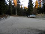
a) From the motorway Ljubljana - Maribor, take the exit Šentrupert, then continue driving in the direction of Mozirje and Logarska dolina. Just after Ljubija and just before the start of Mozirje, turn right at the roundabout in the direction of Bele Vode. Continue on through Ljubija, and we follow the initially still asphalted road through the valley of the river Ljubija and the higher stream Štajerska Kramarica. At the homestead of Rebršak, the asphalted road joins with Bele Vode on our right, and we continue straight ahead. Continue on the macadam road again, following it steeply upwards, then at the first crossroads continue left (right at the homestead Prevnik), right at the second (left at the homestead Zgornji Brložnik) and left at the third (right connecting road to Andrew's home at Slemen). When the road leads to the junction of three roads and mountain direction signs, we are at the Kramarica pass, where we park.
b) From Koroška, first drive to Črna na Koroškem, and from there continue to Topla and Koprivna. In the village of Pristava, turn left and continue along the Bistra valley. At the next crossroads at 731 m, turn left towards the homesteads Vrtačnik and Pudgarsko. At the Pudgarsko homestead, continue straight ahead and follow the macadam road to the Kramarica pass, where you park.
Path description:
From the Kramarica pass continue along the macadam road in the direction of Dom na Smrekovcu. After only 10 m of walking, you will reach a marked crossroads where you have two options to continue.
Continue along the right path in the direction of Dom na Smrekovcu across the Beech Tent (straight ahead Dom na Smrekovcu along the road). From the crossroads onwards, the path begins to climb steeply over an increasingly steep slope. During the ascent, first cross the steep cart track, and when you reach another cart track, follow it to the left. Here the path is laid, and we follow the cart track, which crosses the slopes to the left, for only a few minutes, then continue along the initially parallel marked mountain path, which branches off slightly to the left with the cart track. The path then crosses wooded slopes, turning increasingly to the right. A little higher up, you reach a grassy hayfield, after which the path returns to the woods and joins a macadam road just a little further on, which is a quick walk to the nearby Dom na Smrekovcu.
From Dom na Smrekovcu, continue slightly right in the direction of Komno and Smrekovec. The way ahead climbs moderately at first over a grassy slope, then turns slightly to the left, where it leads us into the lane of a forest. When the forest thins out, turn slightly right and the path leads to a marked crossroads where you continue right towards Smrekovec (Komen and Raduha on the left). Continue for a short distance through the increasingly sparse forest, and then arrive at the vast grassy slopes, over which, with increasingly beautiful views, you climb to the nearby Smrekovec, which you reach after about 10 to 15 minutes of further walking.

We can extend the trip to the following destinations: Krnes,
Komen
Pictures:
 1
1 2
2 3
3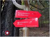 4
4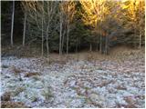 5
5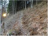 6
6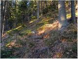 7
7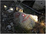 8
8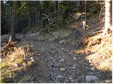 9
9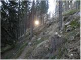 10
10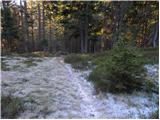 11
11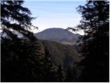 12
12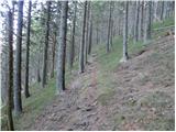 13
13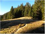 14
14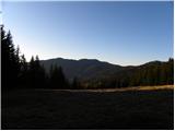 15
15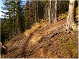 16
16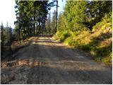 17
17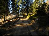 18
18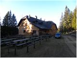 19
19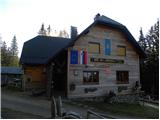 20
20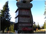 21
21 22
22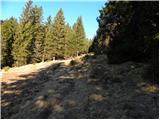 23
23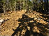 24
24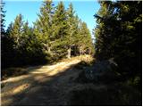 25
25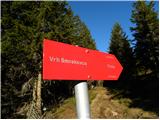 26
26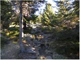 27
27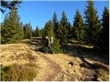 28
28 29
29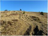 30
30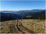 31
31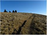 32
32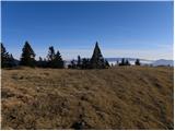 33
33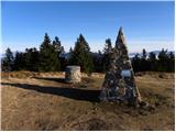 34
34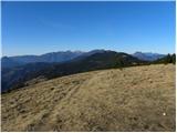 35
35
Discussion about the trail Kramarica - Smrekovec (via Bukov stan)
|
| smatjaz9. 06. 2013 |
Samo v vednost - cesta čez prelaz Kramarica neprevozna, uporabite pot proti domačiji sp Brložnik, torej kjer bi morali preiti na makadam naravnost, se usmerite levo v hrib po asfaltu kjer na manjšem parkirišču na prelazu na vrhu Belih Vod pustite vozilo, naprej je markirana pot mimo kmetije. Sem tudi dodal sled.Drugače pa fantastičen izlet na tale vulkanček.  lp Matjaž 
|
|
|
|
| B.Smart15. 09. 2013 |
Opozoril bi rad na en del poti. Od Kramarice naprej, čez Bukov stan, je zgornji del, ko se pride s strmine, razširjena oziroma na novo narejena gozdna pot. Kako je bilo včasih ne vem, vendar sledi o stari peš poti ni več, pa tudi markacije se tam končajo. Očitno so gozdarji posekali vsa drevesa z označbami. Gozdna pot se po 300m celo razcepi in nikjer ni razvidno kam moramo it. Treba je izbrati zgornjo (desno) pot in po nekaj metrih vzpona pridemo na omenjeno razgledno jaso. Od tam naprej so pot in markacije spet lepo vidne. Moram reč, da nama je s kolegico vzelo kar nekaj časa za preučevanje po zemljevidu in iskanja označb, preden sva se odločila it na slepo po gozdni poti. Drugače pa zelo lepa pot.
|
|
|
|
| luka8725. 09. 2016 |
vceraj prehodil to pot....cesta do prelaza Kramarice normalno prevozna.označbe na novo narejene..lepa nezahtevna pot 
|
|
|