Starting point: Kranjska Gora (810 m)
| Lat/Lon: | 46,4863°N 13,7774°E |
| |
Time of walking: 1 h
Difficulty: easy marked way
Altitude difference: 35 m
Altitude difference po putu: 50 m
Map: Kranjska Gora 1:30.000
Recommended equipment (summer):
Recommended equipment (winter):
Views: 37.649
 | 3 people like this post |
Access to the starting point:
First drive to Kranjska Gora, then follow the signs for the Kranjska Gora ski resort. Park in the large parking lot at the foot of the Kranjska Gora ski slopes.
Path description:
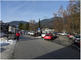
From the parking lot, continue along Borovška cesta, which first continues north-west and then turns slightly more to the left. The asphalt road continues through the forest for a while and then leads to the Podkoren part of the ski resort. Here you get some views towards Sredna, Vysoka and Mala Ponca, as well as the village of Podkoren and part of the western Karavanke. A little further on, a footpath (road) branches off slightly to the left to Planica, and we walk along the asphalt road to the parking lot at the foot of the lift and the Velika dolina double chairlift. Here, a little further on from the end of the parking lot, we continue to the right along a well-maintained tourist path which descends to a footbridge over the Sava Dolinka river. On the other side of the footbridge, turn left and continue along the main road for a few minutes towards Rateče, walking along it to the Zelenci cafeteria.
From the cafeteria, turn left along the well-groomed tourist path, which will take you to Zelenci in less than 5 minutes.

Pictures:
 1
1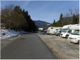 2
2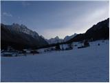 3
3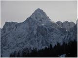 4
4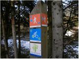 5
5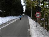 6
6 7
7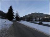 8
8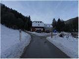 9
9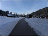 10
10 11
11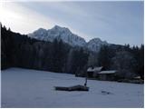 12
12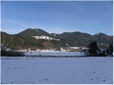 13
13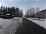 14
14 15
15 16
16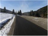 17
17 18
18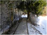 19
19 20
20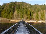 21
21 22
22 23
23 24
24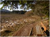 25
25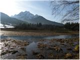 26
26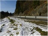 27
27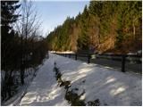 28
28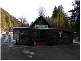 29
29 30
30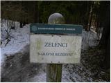 31
31 32
32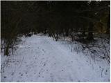 33
33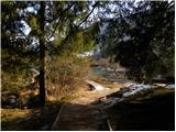 34
34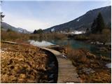 35
35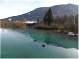 36
36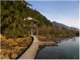 37
37
Discussion about the trail Kranjska Gora - Zelenci
|
| potpodnoge17. 03. 2024 19:33:22 |
Se strinjam, sam pa čakam, da vse ozeleni, ker se mi ne zdi lepša narava, kot spomladi, ko ravno ozeleni vse skupaj. Seveda je treba tudi sedaj na izlete, vendar nekateri lahko počakajo, saj bo kmalu vse v krasni zeleni barvi.
|
|
|