Kranjski Rak - Poljanski rob (via Seliški rob)
Starting point: Kranjski Rak (1029 m)
| Lat/Lon: | 46,283°N 14,6884°E |
| |
Name of path: via Seliški rob
Time of walking: 2 h
Difficulty: easy unmarked way
Altitude difference: 540 m
Altitude difference po putu: 585 m
Map: Kamniške in Savinjske Alpe 1:50.000
Recommended equipment (summer):
Recommended equipment (winter): ice axe, crampons
Views: 1.729
 | 2 people like this post |
Access to the starting point:
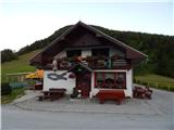
a) First, drive to Kamnik, then continue driving towards the Črnivec Pass. Just a few 100 m before the pass, you will see signs for Kranjski Rak, which direct you sharp left onto a narrow and initially quite steep road. The road is higher and then leads to the Volovljek Pass, where we park near the Kranjski Rak guesthouse (parking in front of the guesthouse is only allowed for guests).
b) From Gornji Grad, drive towards Kamnik, and then, just a few 100 m after the Črnivec Pass, turn right in the direction of Kranjski Rak. Continue as described above.
c) From the Savinjska valley, first drive to Luce, then continue towards Kamnik. When you reach the Volovljek pass, park in a suitable place next to the Kranjski Rak guesthouse (only guests are allowed to park in front of the guesthouse).
Path description:
From the Volovljek Pass continue westwards along the macadam road in the direction of Velika planina, Jarško, Črnuško, Domžale and Doma na Kisovcu. The road initially leads us along a pasture, then into the forest, where a marked footpath branches off to the left. Continue along the road, which turns slightly to the right and splits into two parts at the beginning of the left-hand bend. The right-hand road leads to the former homestead Štajerski Rak (the Štajerski Rak guesthouse is located at the Volovljek Pass), and we continue along the wider road leading to Velika planina, and walk along it for a few minutes, or until the point where the road makes a sharp left turn. From this bend, a worse road continues straight ahead (in summer it is necessary to cross a shepherd's crook), and we continue on this road. The path continues moderately downhill and turns right after crossing the torrential valley of the Brložnica stream. The way forward leads us past a landslide, then again turns more to the left, where it leads us under the rock towers. When the crossing ends, we reach a kind of back, from where a view opens up towards the Dleskovški plateau.
At this point, the marked path from Podvolovljek joins us from the right, and we continue left on the footpath, which climbs steeply above the road. Due to erosion and overgrowth, the crossing is somewhat awkward and, especially in wet conditions, slightly dangerous for slipping. The path continues for a short distance along the wooded ridge and leads us above the aforementioned rock towers, before turning slightly to the right. Continue climbing through the forest for a few minutes, then cross a pasture fence and enter the lower part of mountain pasture Marjana's field. When the forest ends, so does the hitherto less well-trodden path. Climb up the slope, see a marker on one of the trees, and then, a little higher up, see some tents on mountain pasture and, a little to the right, a wooden cross.
Continue past the tents and follow them up to the nearby macadam road, where you will see a marked crossroads with a number of direction signs.
At the crossroads, leave the road and continue the ascent along cart track in the direction of Jarško, Črnuško and Domžalski dom, Mala and Gojška planina. At first, we still have a nice view towards Kranjska Ribra and part of Posavsko hribovje, but then the path turns into the forest, through which it continues to the point, where we join the footpath from Kranjski Rak and the path from the parking lot of Rakova ravni. Continue straight ahead and just a few metres further on, emerge from the forest at the bottom of Gojška planina. There is a short climb, and then the path transitively lays down and leads to a small crossroads by the watering place for animals. Go around the watering trough on the left, then go slightly left (right upper part of Gojška planina) on the ascending footpath. This pleasant and increasingly scenic path climbs through an extensive grazing area before crossing one of the dirt roads. On the other side of the road, the path gradually climbs moderately and then approaches the road leading to Jarško and Domžale. Before entering the road, turn left and after a further walk of some 10 steps you will reach the Jarško Home.
Go around the house on the left and then continue your ascent along a wide path that climbs gently through a sparse forest. After a few minutes, the path to the Črnuška Home branches off to the left, and we continue straight ahead and follow the wide path all the way to the Domžale Home at Mali mountain pasture.
From the Domžale home continue towards Velika planina, then before crossing the pasture fence continue left towards the nearby wider path. When you reach this wider path, bear right and then, just after crossing the pasture fence, bear left on a less well-trodden path that begins to climb along the fence towards the Poljanski edge. Following the increasingly scenic path, you will reach the above-mentioned summit in a few minutes.

Pictures:
 1
1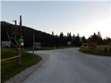 2
2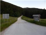 3
3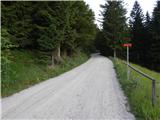 4
4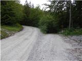 5
5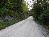 6
6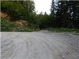 7
7 8
8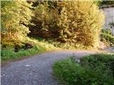 9
9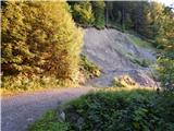 10
10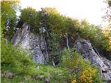 11
11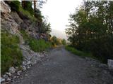 12
12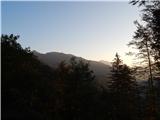 13
13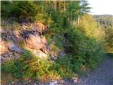 14
14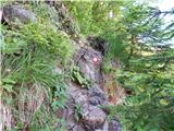 15
15 16
16 17
17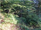 18
18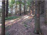 19
19 20
20 21
21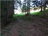 22
22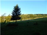 23
23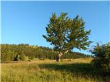 24
24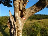 25
25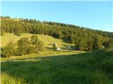 26
26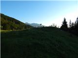 27
27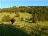 28
28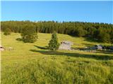 29
29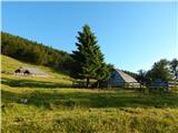 30
30 31
31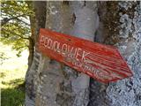 32
32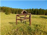 33
33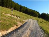 34
34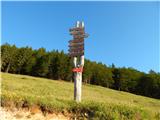 35
35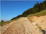 36
36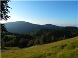 37
37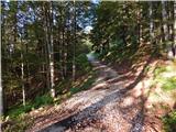 38
38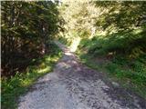 39
39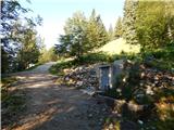 40
40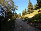 41
41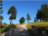 42
42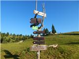 43
43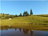 44
44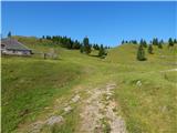 45
45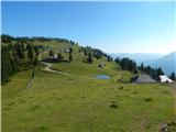 46
46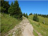 47
47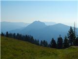 48
48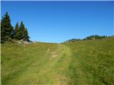 49
49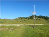 50
50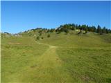 51
51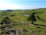 52
52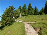 53
53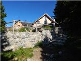 54
54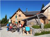 55
55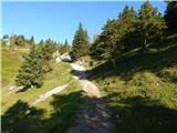 56
56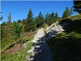 57
57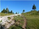 58
58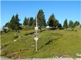 59
59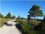 60
60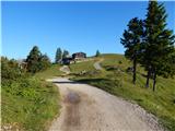 61
61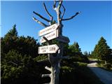 62
62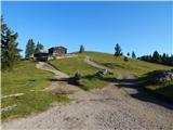 63
63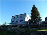 64
64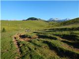 65
65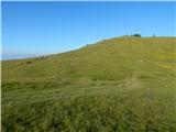 66
66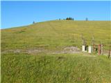 67
67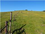 68
68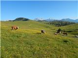 69
69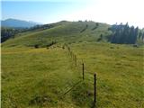 70
70 71
71 72
72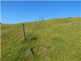 73
73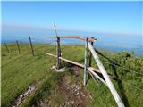 74
74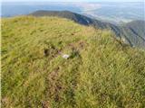 75
75 76
76
Discussion about the trail Kranjski Rak - Poljanski rob (via Seliški rob)