Križna Gora - Archangel Gabriel (Planica)
Starting point: Križna Gora (705 m)
| Lat/Lon: | 46,1993°N 14,2748°E |
| |
Time of walking: 35 min
Difficulty: easy marked way
Altitude difference: 119 m
Altitude difference po putu: 145 m
Map: Škofjeloško in Cerkljansko hribovje 1:50.000
Recommended equipment (summer):
Recommended equipment (winter):
Views: 5.377
 | 1 person likes this post |
Access to the starting point:
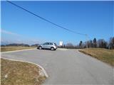
a) From Gorenje vas, Medvode or Kranj, drive to Škofja Loka and continue to Železniki. Once in Škofja Loka, you will arrive at a semaphorised crossroads, where you turn right in the direction of Križna Gora, Virlog and Moškrina. As soon as we leave the main road we arrive at Binkelj, and at the next crossroads we follow the signs for Križna Gora. After Moškrin, the road starts to climb steeply, and then somewhere in the middle of the climb it leads to a small crossroads, where we continue to the right (left Cavrn). Higher up, when we arrive in Križna Gora, we continue to the right at the crossroads (left Hunting hut and St. Križa Church). There is a short climb, and then we arrive at a nicely landscaped parking lot, where we park.
b) First drive to Železniki, then continue to Škofja Loka. At Škofja Loka, at one of the traffic lights, turn left towards Križna Gora, Virlog and Moškrina. As soon as we leave the main road we arrive at Binkelj, and at the next junctions we follow the signs for Krizna Gora. After the settlement of Moškrin, the road starts to climb steeply, and then somewhere in the middle of the climb leads us to a small crossroads, where we continue to the right (left Cavrn). Higher up, when we have already arrived in the settlement of Križna Gora, we continue to the right at the crossroads (left hunting lodge and church of St. Križa). There is a short climb, and then we arrive at a nicely arranged parking lot, where we park.
Path description:
From the parking lot, continue along the asphalt road northwards, which leads us over initially scenic terrain in a slight ascent. After the last house nearby, the road goes into the woods and leads us past the NOB memorial to the bus turnaround. There is a short easy descent, then continue slightly right on the wide cart track, and from there a few 10 steps further slightly left on the marked mountain path. The path continues for some time zložno to moderately climbs through the forest, and then leads us out of the forest, where it is laid or even slightly descends. It is followed by a crossing of a grassy slope from which a beautiful view of part of the Škofjeloško hribovje opens up. After the viewpoint, the path returns to the forest and begins to climb up the increasingly wide cart track. After a few minutes, when the cart track has been laid, we reach the tarmac road and we follow it, passing a solitary house, to the top of Planica, where the Church of St. Gabriel the Archangel stands.
Description and pictures refer to the situation in 2015 (March).

Pictures:
 1
1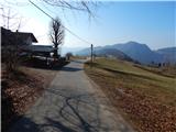 2
2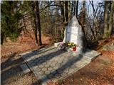 3
3 4
4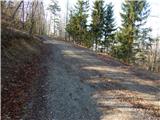 5
5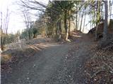 6
6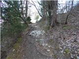 7
7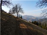 8
8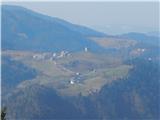 9
9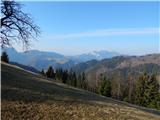 10
10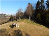 11
11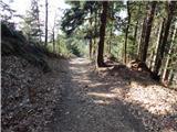 12
12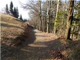 13
13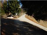 14
14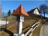 15
15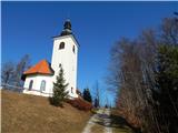 16
16 17
17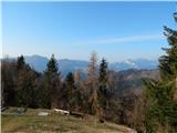 18
18
Discussion about the trail Križna Gora - Archangel Gabriel (Planica)
|
| Isonja23. 04. 2023 15:48:13 |
Kaj je bolj prav? Enkrat piše, da je od Križne Gore do Planice 35 minut (na tej strani zgoraj "Čas hoje: 35 min", drugič da je 55 minut (Na strani Križne Gore: "Izlet lahko podaljšamo do naslednjih ciljev: Sveti nadangel Gabrijel (Planica) ( 55 min). No, saj razlika ni tako velika, če si pa že utrujen od prejšnje hoje, se pa vleče... So pa res lepi razgledi po Škofjeloškem hribovju.
|
|
|
|
| franca23. 04. 2023 17:11:51 |
Naša upokojenska skupina je hodila 50 minut.  Od cerkve!
|
|
|
|
| georgia23. 04. 2023 19:40:24 |
Jaz ponavadi hodim pol urce do cerkve na Planici od parkirišča na Križni gori, ne od cerkve. Lahko pa da je 55 minut mišljeno od cerkve? To sigurno podaljša vsaj za 15 minut. Pa srečno pot!
|
|
|