Križovec - Kahlkogel/Golica (via mountain hut)
Starting point: Križovec (1222 m)
| Lat/Lon: | 46,4699°N 14,0838°E |
| |
Name of path: via mountain hut
Time of walking: 2 h
Difficulty: easy marked way
Altitude difference: 613 m
Altitude difference po putu: 625 m
Map: Karavanke - osrednji del 1:50.000
Recommended equipment (summer):
Recommended equipment (winter): ice axe, crampons
Views: 99.254
 | 2 people like this post |
Access to the starting point:
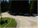
From the motorway Ljubljana - Jesenice take the exit Lipce and follow the road towards Jesenice. When you reach the semaphoreised junction where you join the old road, turn right in the direction of Žirovnice. Follow this road for only a short distance, as at the next slightly larger junction (traffic lights), turn left in the direction of Javorniški Rovto. The road then passes through an underpass (railway) and then turns left (Koroška Bela on the right). Follow the road, which starts to climb steeply higher up, in the direction of Javorníško Rovto. The road leads us past the Pristava home (the home is just above the road) and after the home we come to the next (smaller) crossroads, where we go right. Next, we drive along the macadam road all the way to Križovec, which we recognise by the crossroads of several roads (there are a few small car parks and a cross at the crossroads).
Path description:
From Križovec, continue past the cross on the road in the route Pusti Rovt. The road initially leads past a ramp and then gently climbs through the forest. After about 15 minutes of walking, the road turns left and leads out of the forest to the lower edge of Pusti Rovt. Continue along the road, which is joined on the right by a marked path from Dom Pristava v Javorniškem Rovtu, which leads us after some 10 steps of further walking to the shepherd's hut on Pust Rovt.
From the shepherd's hut, continue along the road, which turns right into the forest at the upper part of Pusti Rovt. Just a little further on, you reach a marked crossroads, where you continue left (slightly right Sedlo Kočna and Barentaler Kotschna) along the road, which continues on a slight incline crossing the slopes to the left. A little further on, we are joined on the left by a path with Markljev Rovt, and the road quickly leads us to Sedlo Suha.
From the saddle, continue along the road for a short distance, and then the signs for Koča na Golici direct you slightly right onto a footpath which continues to climb cross-country to the west. The path soon becomes completely flat, crosses some scenic slopes, and then joins the path from Mountain pasture under Golica in a gentle descent.
Continue in the direction of Kahlkogel and continue the ascent along a fairly wide path, which is followed all the way to the Hut on Kahlkogel, which is reached after a good 10 minutes of further walking.
From the hut, continue along the marked trail in the direction of Kahlkogel. The way forward first crosses the slopes of Krvavka, then turns to the left, where it crosses a small valley between the summit and Golica. Once on the western side of the valley, the path begins to climb steeply, and then, just 10 metres before reaching the ridge, the "ridge" path from Sedlo Suha joins us from the right. Continue to the left and follow the increasingly scenic path to the top of Kahlkogel, which is reached without much difficulty.

Pictures:
 1
1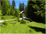 2
2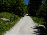 3
3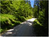 4
4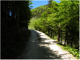 5
5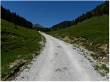 6
6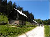 7
7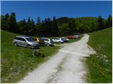 8
8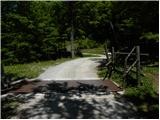 9
9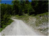 10
10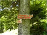 11
11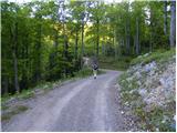 12
12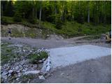 13
13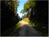 14
14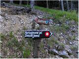 15
15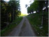 16
16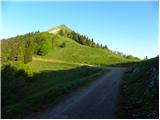 17
17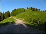 18
18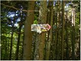 19
19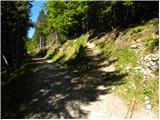 20
20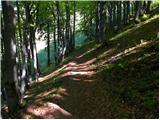 21
21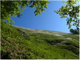 22
22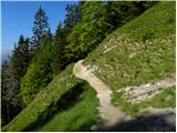 23
23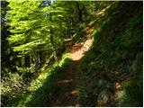 24
24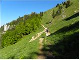 25
25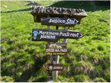 26
26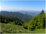 27
27 28
28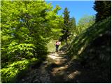 29
29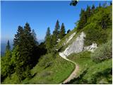 30
30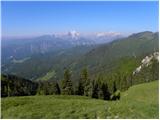 31
31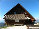 32
32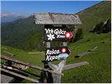 33
33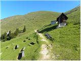 34
34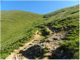 35
35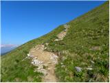 36
36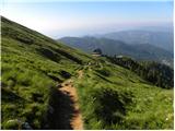 37
37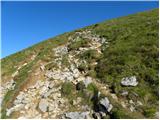 38
38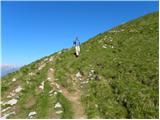 39
39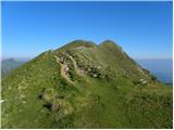 40
40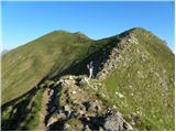 41
41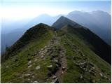 42
42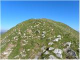 43
43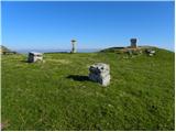 44
44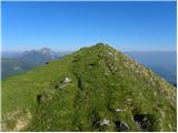 45
45 46
46
Discussion about the trail Križovec - Kahlkogel/Golica (via mountain hut)
|
| bostjan8530. 09. 2010 |
mene zanima kako je urejena cesta do tega izhodišča
|
|
|
|
| Bojan_A30. 09. 2010 |
Cesta je dobra: kakšna luknja se najde, drugače je pa čisto solidna makadamska cesta.
|
|
|
|
| banananjam15. 07. 2013 |
mi smo se odpravili vceraj in je res lep razgled pa se soncno je bilo edino malo me je zmotilo ker pasejo ovce ,in smo se ze veselili kaksnega sira pa ga ni za dobit.skoda ampak drugace pa lep izlet tudi za malo mlajse udelezence gora
|
|
|
|
| balon18. 08. 2013 |
koliko je hoje, če kreneš od slike 18? Hvala 
|
|
|
|
| otiv18. 08. 2013 |
Mislim,da se v času paše ne da peljati višje od Križovca.
|
|
|
|
| balon2. 05. 2014 |
kolk pa je od Križovca hoje?
|
|
|
|
| viharnica2. 05. 2014 |
Jaz sem pri Križovcu pustila avto in šla peš (tam kjer je slika št. 18) desno, torej po hribu gor in po vrhu, vse do cilja. Pot mi je všeč, saj lahko že takoj od začetka opazuješ razgled na levi in desni strani. Priporočam.
Kakšne pa so kaj trenutne razmere na Golici in kako je z narcisami?
|
|
|
|
| Pohodnica562. 05. 2014 |
Včeraj od Križovca proti Golici, vendar žal še ne po hribu navzgor, izbrala malce nižjo pot(slika 18, še malo naprej po cesti in potem v klanec. Narcise se še niso doprle , bodo pa kmalu. So pa spodaj v Javorniškem rovtu, pri domu Pristava.
|
|
|
|
| balon11. 05. 2014 |
Hvala za odgovore. Zanima me kje se nahaja žig.
|
|
|
|
| balon25. 06. 2014 |
sem spregledal v opisu.  
|
|
|
|
| Pohodnica564. 05. 2015 |
Tudi letos bi rada na Golico, vendar zaradi težav(pljuča-operacija....)zaenkrat ne zmorem premagovati bolj strmih poti. Na sliki 20 se s ceste odcepi peš pot, vendar je strma. A se da po cesti naprej priti do koče, bi lažje premagala daljšo a malce manj strmo pot. Hvala za odgovore in varne korak vsem.
|
|
|
|
| sirt14. 05. 2015 |
Pohodnica56
Steza ki se odcepi na sl.20 se čisto položno dviga proti koči na Golici. Samo zadnjih ~100m je strmejših.Vse skupaj je manj kot 150m višinske razlike.
|
|
|
|
| Pohodnica564. 05. 2015 |
@Sirt1 hvala, hvala, če bom "fejst" sopihala, bom pa bolj počasi  Še eno vprašanje, če smem. Tisti del na sliki 23 je bil lani skoraj "zabrisan" od plazenja snega, poleg tega še malce bolj moker, da sem se skoraj obrnila, ker imam eno zoprno izkušnjo-zdrsno, je letos bolj nadelana pot? Obljubim, ne bom več spraševala, da me ne bo kdo preveč kregal  Hvala tisočkrat še za ta odgovor.
|
|
|
|
| Valant9926. 04. 2017 |
A kdo ve kako dolgo se peles do izhodisca iz celja ali ljubljane? HVALA! 
|
|
|
|
| Edina26. 04. 2017 |
Če rečem tako čez palec; dobrih 70 km in dobra ura vožnje iz Ljubljane, bi moralo biti za načrtovanje ture dovolj natančno. Srečno in lp 
|
|
|
|
| saram30. 05. 2020 |
Danes po tej poti. Ob osmi(8)uri prazno parkirišče. Pot OK. Pri koči pa že kar nekaj obiska. Spust z Golice preko male Golice. Ob povratku parkirišče polno.Lp
|
|
|
|
| zaspanka15. 06. 2023 12:32:34 |
V soboto ob 6ih zjutraj je bilo parkirišče skoraj popolnoma prazno. Ob povratku okrog 10 ure pa je bilo vse polno.
Od tega izhodišča pa do vrha ali koče je skoraj 3km hoje po ravni makadamski poti, tako da je ta del malo bolj dolgočasen. Na tej poti sem opazila več vrat in oznak "bik na paši", trenutno tega bika ni bilo in se komot v smeri oznak za Golico peljete še 3km naprej in tam začnete svojo peš pot (pri sliki 18).
|
|
|
|
| jprim16. 06. 2023 21:15:56 |
@zaspanka
Morda pa so takrat biki počivali.
LP!
|
|
|
|
| balon26. 09. 2023 09:26:20 |
Pozdravljeni,
ali je kdo bil zadnje dni na Golici? Zanima me samo ali je kaj posebnega.
Sem že gledal pod trenutne razmere pa ni nobenega zapisa.
Hvala vnaprej.
|
|
|
|
| balon27. 09. 2023 08:34:23 |
bbugari1 hvala za odgovor.
|
|
|
|
| Majdag21. 12. 2024 08:17:43 |
Obvestilo PD Jesenice..
POMEMBNO OBVESTILO ZA KOČO NA GOLICI!
Snega je zapadlo bistveno več, kot smo pričakovali, zato oskrbniku ni uspelo priti do koče. V soboto bomo v koči člani društva, na voljo bo le omejena ponudba. V nedeljo bo koča zaprta.
Zaradi velike količine novozapadlega snega obvezno uporabite zimsko pot. Cesta do Križovcev ni prevozna.
Prosimo, delite!
|
|
|