Križovec - Španov vrh (via GRS cottage on Črni vrh)
Starting point: Križovec (1222 m)
| Lat/Lon: | 46,4699°N 14,0838°E |
| |
Name of path: via GRS cottage on Črni vrh
Time of walking: 40 min
Difficulty: easy unmarked way
Altitude difference: 112 m
Altitude difference po putu: 162 m
Map: Karavanke - osrednji del 1:50.000
Recommended equipment (summer):
Recommended equipment (winter): ice axe, crampons
Views: 6.619
 | 5 people like this post |
Access to the starting point:
From the motorway Ljubljana - Jesenice take the exit Lipce and turn right towards Jesenice. In the Slovenski Javornik settlement, at the first semaphorised junction, turn right (direction Lj. ) towards Koroška Bela. At the next traffic-light junction, turn left, and shortly afterwards turn left again towards Javorniške Rovto. After a few kilometres of uphill driving (when we have already arrived in the village), the asphalt road leads us past the Pristava home (the last bus stop), and after the home we come to the next small crossroads, where we continue straight on the macadam in the direction of Kahlkogel and Križovec. Drive along the winding road for about 3 km, then (some 10 m) after another sharp -V- bend you will reach a large crossroads with a church cross - at Križovec.
Path description:
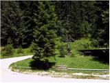
From Križovec, take the road to the left in the direction of Prihodov. After a few minutes of walking uphill on the road, at the point where it slightly bends, you will come across a small parking lot on the left. Here, on the opposite side of the road, you will see a path leading right into the forest and follow it. Walk uphill on a pleasant path through occasionally sparse forest. Soon, when another path joins from the right, our path widens and almost lays for a while. The path continues to climb and occasionally curves to the left, first less steeply and then, as we come to a clearing on the right, a little more steeply and occasionally curving to the left. Shortly after the above-mentioned ascent at the clearing, the steepness gradually eases, and the path leads us to logging trail, which we follow to the left, but only for a few metres. As logging trail turns to the left, follow the path to the right at the fork, and soon begin to descend gently towards the exit from the forest. When you step out into the open, you will find a larger hut (Jesenica GRS shelter) on your right. Continue on the less visible path down across the meadow, and soon join cart track. This quickly turns left down a grassy slope towards the south-east. Through a short lane copse, the path leads to a wide cart track-like terrain, which is essentially a ski slope. After crossing it, take the path on the right, which climbs through the trees towards Španovo vrh. When the slope drops, the top station of the Španov vrh chairlift can be seen to the slight right. It is only a few steps of easy walking to the finish.

Pictures:
 1
1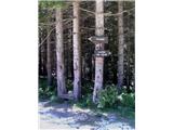 2
2 3
3 4
4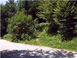 5
5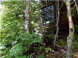 6
6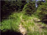 7
7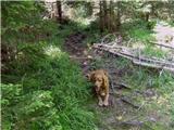 8
8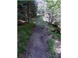 9
9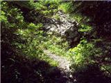 10
10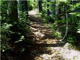 11
11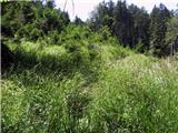 12
12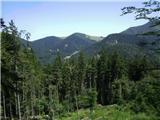 13
13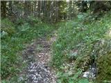 14
14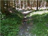 15
15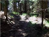 16
16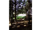 17
17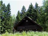 18
18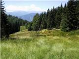 19
19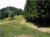 20
20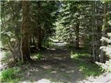 21
21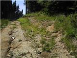 22
22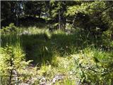 23
23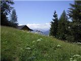 24
24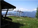 25
25
Discussion about the trail Križovec - Španov vrh (via GRS cottage on Črni vrh)