Krnica (bridge over Radovna) - Kovinarska koča v Krmi
Starting point: Krnica (bridge over Radovna) (620 m)
| Lat/Lon: | 46,3784°N 14,0543°E |
| |
Time of walking: 5 h
Difficulty: easy unmarked way
Altitude difference: 250 m
Altitude difference po putu: 400 m
Map: TNP 1:50.000
Recommended equipment (summer):
Recommended equipment (winter):
Views: 1.190
 | 1 person likes this post |
Access to the starting point:
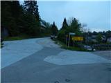
a) Take the Bled, then follow the signs for Pokljuka. In the route of Pokljuka, drive to the settlement Cirque, where turn right downhill towards Mojstrana, Zgornja Radovna and Krma. After a short descent, cross the river Radovna over a bridge, turn right after the bridge and park at the information board.
b) Leave the Gorenjska motorway at exit Jesenice East (Lipce), then follow the signs for Spodnje Gorje. Follow the ascent to Kočna, then slowly start descending towards the valley Radovna. After crossing the river Radovna, there is again some climbing, and in Spodnje Gorje, where the road from Bled joins, we continue in the direction of Pokljuka. In the direction of Pokljuka, drive to the settlement Cirque, where turn right downhill in the direction of Mojstrana, Zgornja Radovna and Krma. After a short descent, cross the river Radovna over a bridge, turn right after the bridge and park at the information board.
Path description:
From the starting point, from where a beautiful view of the dam on the river Radovna opens up, continue along the asphalt road in the direction of Mojstrana, Zg. Radovna and Krma. At the end of the settlement Cirque, we enter the Triglav National Park, and we follow the road that runs along the left bank of the river Radovna. At the 2. 5 km road marker we reach the Gorje hydroelectric power station, and a few 10 m further on, signs for the Lipnik spring direct us left onto a side road, which leads us over a bridge to the other side of the river. A little further on, at a small crossroads, continue left to cart track (straight to the Lipnikar homestead), and a few steps further on, cross the Lipnik stream over a small bridge. On the other side of the stream, go right, where you continue for a short distance on cart track, and then the path narrows. Following the less well-trodden path, you will quickly reach an information board and, a little further on, the source of the Lipnik.
From the spring, return to the macadam road, then continue towards the Lipnikar homestead, where you turn right across the bridge in front of the house. On the other side of the Lipnik stream, cart track goes quickly into the forest, and at the crossroads continue straight ahead. The path soon approaches the river Radovna, along which it then continues a mostly easy ascent. Passing another dam and later a spring, you come to a larger meadow where you see Jezerce in the Radovna valley on the right.
Go around the lake on the left, then continue straight ahead and soon reach the banks of Radovna, along which you continue through the forest. Follow the track through the forest, but when you enter the meadow, it disappears. Continue to the two nearby huts, and go straight ahead after them, where a fainter track reappears in the woods. The path leads slightly to the left, away from the river Radovna, and leads to the source of the Zmrzlek, where the path disappears completely. Continue to the other side of the spring and within a minute climb out of the woods to a larger meadow where cart track reappears. Follow cart track down to a small crossroads, where you continue slightly left on a dirt road (right back to the tarmac road), from which you soon take a slight right onto cart track, which crosses a stream over which you go on slippery rocks. Cart track gradually turns into a path which leads us to the next meadow, where we see a cottage on the left, and we keep slightly to the right, where a path appears in the woods, leading us through the woods. Through the forest we pass a few wells, then the forest begins to thin out and we arrive at a meadow where there is a trestle and behind it a small hut. The meadow is usually full of flowers in May, including a lot of clusia.
On the other side of the meadow, cart track appears behind a small hut, which then leads us past a green ramp into the forest. Once out of the woods, keep slightly to the right, and when back in the woods, cross down a fainter track to the bank of Radovna, where the track becomes more distinct and easier to follow. Walking through the woods, the path widens to cart track, which crosses the river Radovna a little further on, and we continue straight on along the path, which continues along the river. The path then crosses the slopes slightly above the river, but a landslide has carried away part of the path in two places, making the crossing a little more difficult, but still easy. When the crossing is complete, enter a larger meadow where cart track appears on the right, and follow this to the tarmac road.
Follow the road to the right, where you immediately cross Radovna, and after the bridge you reach the Radovna Memorial Park, where you turn left onto a dirt road. At the crossroads, follow the road straight ahead, and when you see a lake on your left, walk across the meadow to it.
From the lake, return to the road and go straight ahead at the next crossroads (return to the main road on the left). Continue across the meadows and after a few minutes you will reach Klemenak Farm, where cheese and dairy products are sold. Here the road turns left and crosses the river Radovna a little further on, and when you get back on the main road, follow it to the right. The road branches off a little further towards Pokljuka, which is closed to public traffic, and we continue straight ahead, passing a water trough and forestry huts (there is only one hut along the main road). Further along, the road starts to climb a little more visibly and leads us past Psnak's sawmill and mill, and then we leave the main road to the right in the direction of Gogala linden tree (straight Krma and Mojstrana), which we reach after about 5 minutes of further walking.
From Gogala linden tree, where the Gogala homestead is also located, continue along the road, where the path leads you past the Gregor homestead, and then you reach a crossroads, where you take a sharp left (right Mojstrana). Continue along the asphalt road, which leads us across the torrent to the crossroads, where we return to the road we would have come along if we had not decided to visit the Gogal lime tree.
Continue right in the direction Kovinarska koča v Krmi and follow the gently sloping road to the parking area at the edge of Kurje vas.
From Kurje village, continue straight ahead towards Kovinarska hut in Krma. The gently sloping road continues along the edge of the forest, then turns into the forest and climbs slightly more moderately. From the path, where we stick to the main road at all times, we occasionally get some views of the surrounding peaks and walls, but otherwise the path is without any special views. After a good half-hour walk from Kurje vas we reach Zasipska mountain pasture, from where we get a nice view of the mountains above the Krma valley, and we continue to the left and, after a short ascent, we reach Kovinarska hut in the aforementioned valley.
We return along the same route or a shorter asphalt road.
Krnica - Lipnik spring 0:50, Lipnik spring - Jezerce v dolini Radovna 0:40, Jezerce v dolini Radovna - jezero Kreda 1:30, jezero Kreda - Gogala linden tree 1:00, Gogala linden tree - Kovinarska hut 1:00.

Pictures:
 1
1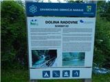 2
2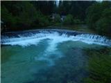 3
3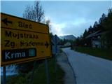 4
4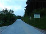 5
5 6
6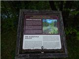 7
7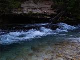 8
8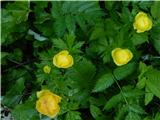 9
9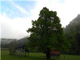 10
10 11
11 12
12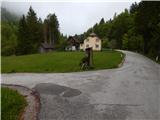 13
13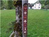 14
14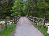 15
15 16
16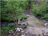 17
17 18
18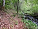 19
19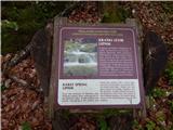 20
20 21
21 22
22 23
23 24
24 25
25 26
26 27
27 28
28 29
29 30
30 31
31 32
32 33
33 34
34 35
35 36
36 37
37 38
38 39
39 40
40 41
41 42
42 43
43 44
44 45
45 46
46 47
47 48
48 49
49 50
50 51
51 52
52 53
53 54
54 55
55 56
56 57
57 58
58 59
59 60
60 61
61 62
62 63
63 64
64 65
65 66
66 67
67 68
68 69
69 70
70 71
71 72
72 73
73 74
74 75
75 76
76 77
77 78
78 79
79 80
80 81
81 82
82 83
83 84
84 85
85 86
86 87
87 88
88 89
89 90
90 91
91 92
92 93
93 94
94 95
95 96
96 97
97 98
98 99
99 100
100 101
101 102
102 103
103 104
104 105
105 106
106 107
107 108
108 109
109 110
110 111
111 112
112 113
113 114
114 115
115 116
116 117
117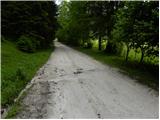 118
118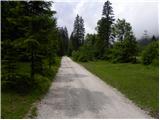 119
119 120
120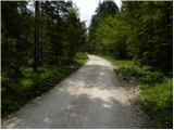 121
121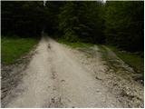 122
122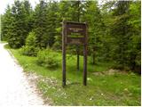 123
123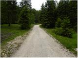 124
124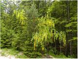 125
125 126
126 127
127 128
128 129
129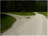 130
130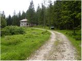 131
131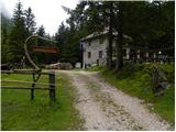 132
132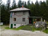 133
133
Discussion about the trail Krnica (bridge over Radovna) - Kovinarska koča v Krmi