Kropa - Sveti Primož in Felicijan (Jamnik)
Starting point: Kropa (494 m)
| Lat/Lon: | 46,2906°N 14,2047°E |
| |
Time of walking: 1 h 10 min
Difficulty: easy marked way
Altitude difference: 337 m
Altitude difference po putu: 337 m
Map: Škofjeloško in Cerkljansko hribovje 1:50.000
Recommended equipment (summer):
Recommended equipment (winter): crampons
Views: 47.602
 | 2 people like this post |
Access to the starting point:
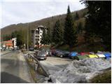
a) From Ljubljana, take the Gorenjska motorway to Jesenice, and follow it to the Ljubelj (Podnart) exit. Continue on the expressway towards Ljubelj, and we turn right at the first exit, where we quickly reach a roundabout, from which we continue in the direction of Podnart and Kropa. The road then takes us through an underpass under the motorway and leads us a little further on to a junction where we join the road from Nakleg. Here we turn right and continue along the road, which gradually starts to descend. In the middle of the descent we come to a crossroads where we turn sharp left (towards Kropa) and then immediately after the bridge over the Sava River we turn left again (right Podnart). Continue along the Lipnica river and follow the road to the crossroads where the road to Kamna Gorica branches off to the right. Here, turn left towards Kropa and follow the road through the above-mentioned place. Just a few metres before the house with house number 7, you will see a sports field on the left and a parking lot underneath, where you park.
b) From the Gorenjska direction, leave the motorway towards Ljubljana at the Brezje exit and then follow the signs towards Kropa. Park in the parking lot next to the sports ground in Kropa.
Path description:
From the parking lot, walk to the house number 7, then turn left along the asphalt road. The road quickly turns to gravel, and we follow it up to the Church of Our Lady of Kropar.
From the church, follow cart track, which ascends crosswise to the left over a relatively steep slope. Higher up, climb onto a woded ridge, where you continue sharp right in the route Jamnik (left Brezovica, straight Češnjica). Continue along the cart track, which continues to climb along a relatively steep ridge. Slightly higher, you reach a memorial, after which the path descends slightly and then starts to climb steeply. Cart track is followed for a few minutes, then the marked path turns slightly left into a dense forest, through which it climbs up a torrential gully. The path then lays down and quickly leads to an asphalt road leading from Kropa towards Jamnik.
Follow the road to the left and it quickly leads out of the forest onto partially exposed slopes. Follow the road for a few minutes and then, at the sign for the beginning of the village Jamnik, turn left onto a narrow dirt road which continues for some time parallel to the main road above. The minor road quickly leads to a small hamlet, after which it turns into a wide cart track. Cart track then passes into the forest and leads us to a grassy ridge with a view, where the path from the village of Jamnik joins us from the right. Continue straight ahead and follow the path, which offers beautiful views of the Alps and the Gorenjska plain, all the way to the Church of St Primož and Felicijan, which is reached after a few minutes' further walking.

Pictures:
 1
1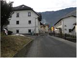 2
2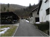 3
3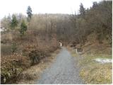 4
4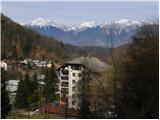 5
5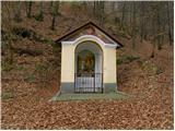 6
6 7
7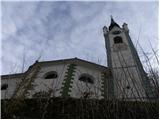 8
8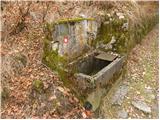 9
9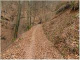 10
10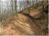 11
11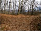 12
12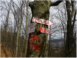 13
13 14
14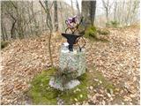 15
15 16
16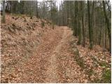 17
17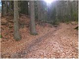 18
18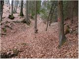 19
19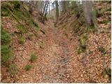 20
20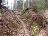 21
21 22
22 23
23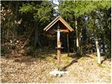 24
24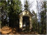 25
25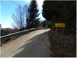 26
26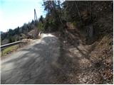 27
27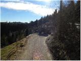 28
28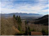 29
29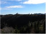 30
30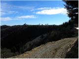 31
31 32
32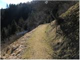 33
33 34
34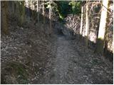 35
35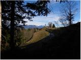 36
36 37
37 38
38 39
39 40
40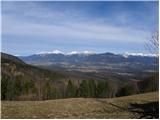 41
41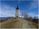 42
42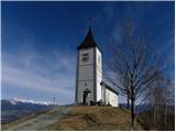 43
43 44
44 45
45
Discussion about the trail Kropa - Sveti Primož in Felicijan (Jamnik)
|
| getonce16. 01. 2012 |
Na pot sem odšel z otrokoma. Izlet mi je bil zelo všeč, na zgornjem delu lepi razgledi. Če ne bi bilo še tisto malo ceste pri vrhu, bi bil izlet čista desetka. Dodajam še sled: www.mapmytracks.com/explore/activity/373020. Pri vzponu smo malce prepozno zavili z asfalta na kolovozno pot.
|
|
|
|
| katty16. 01. 2012 |
A mogoče kdo kej ve, a se gre lahko iz Lajš pri Selcih tudi po kakšni stezici na vrh  ? Izgleda taka izredno lepa razgledna točka, ki se jo splača obiskat.
|
|
|
|
| skalar5016. 01. 2012 |
so (tudi) v ameriškem National Geographicu pred leti že vedeli zakaj poslati fotografa, da naredi fotko slikovite cerkvice z vrhovi in luno v ozadju...
|
|
|
|
| katty16. 01. 2012 |
ja skalar50, če so koga poslal, so zihr Arneja 
|
|
|
|
| GregorC16. 01. 2012 |
Iz Lajš se gre (žal) po cesti Dražgoše - Jamnik. Lepa stezica iz Lajš pa pelje na Sv. Mohorja in je markirana (del Loške planinske poti)
|
|
|
|
| KARAMELICA3. 03. 2013 |
Danes šla po tej poti. Enkraten dan, super razgled.  Na relaciji Podbrezje - Kropa je cestna zapora, tako da sva šla skozi Radovljico v Kropo (nama ni toliko poznano, mogoče sva napravila prevelik ovinek) 
|
|
|
|
| Jejž18. 07. 2023 09:30:10 |
Pot je zaradi podrtega drevja neprehodna (posledica zadnjega neurja).
|
|
|
|
| michael6617. 11. 2023 16:14:45 |
A ima kdo informacijo,kako je sedaj s to potjo...je prehodna?
|
|
|
|
| michael6618. 11. 2023 18:53:47 |
Sem šel pogledat. Nekaj podrtega drevja je še. Se ga pa da obiti,tako da se pride na cilj.
|
|
|
|
| Neza554. 12. 2024 19:43:44 |
Ali je pot na novo označena od zadnjega neurja?
|
|
|