Kurnikovo sedlo - Eisenkappler Hutte (footpath)
Starting point: Kurnikovo sedlo (997 m)
| Lat/Lon: | 46,4858°N 14,5334°E |
| |
Name of path: footpath
Time of walking: 1 h 30 min
Difficulty: easy marked way
Altitude difference: 556 m
Altitude difference po putu: 556 m
Map: Karavanke - osrednji del 1:50.000
Recommended equipment (summer):
Recommended equipment (winter):
Views: 5.771
 | 1 person likes this post |
Access to the starting point:
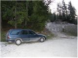
After crossing the Jezerski vrh or Pavličev vrh border crossing, drive to Železna Kapla / Bad Eisenkappel, from where you continue driving west towards "Hochobir". Follow this road for about 3 km to a junction where a signpost for the "Eisenkappler Hütte" directs you to the right onto a further asphalted road, which climbs steeply and leads you higher up to a toll both. Park here in the marked parking area.
In winter there is a ban on driving and parking.
Path description:
From the parking lot, continue along the asphalted road, which climbs moderately, mostly through the forest. The road crosses several torrential streams and after an hour's walk leads to Obirsko mountain pasture.
From mountain pasture, where the shepherd's tent stands, continue along the road, which soon makes a big right turn. After the bend, a marked footpath branches off to the left uphill, which we follow (possible continuation on the road). The path, which starts to climb slightly steeper, crosses cart track and leads us through the forest to a less good forest road in less than 30 minutes. The road takes us higher out of the forest and then turns left. After a few metres, the footpath leads to the grassy slopes below the 'Eisenkappler Hütte', which is only a few steps away.
Pictures:
 1
1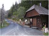 2
2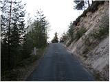 3
3 4
4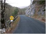 5
5 6
6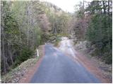 7
7 8
8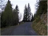 9
9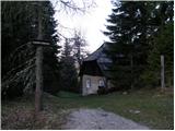 10
10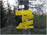 11
11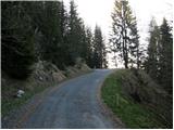 12
12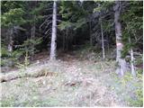 13
13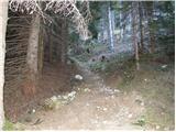 14
14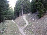 15
15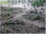 16
16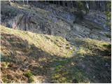 17
17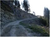 18
18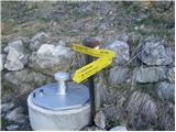 19
19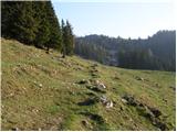 20
20 21
21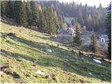 22
22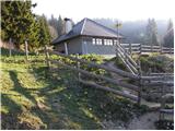 23
23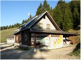 24
24
Discussion about the trail Kurnikovo sedlo - Eisenkappler Hutte (footpath)