Lake Gradišče - Sveti Mohor on Mohorjev hrib
Starting point: Lake Gradišče (355 m)
| Lat/Lon: | 46,1621°N 14,708°E |
| |
Time of walking: 50 min
Difficulty: easy unmarked way
Altitude difference: 156 m
Altitude difference po putu: 170 m
Map: Ljubljana - okolica 1:50.000
Recommended equipment (summer):
Recommended equipment (winter):
Views: 1.670
 | 1 person likes this post |
Access to the starting point:
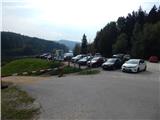
From the motorway Ljubljana - Maribor, take the exit Lukovica, and then continue driving towards Moravče. After crossing Radomlje, you will reach the beginning of the settlement Spodnje Prapreče, where at the crossroads turn left towards Gradiška jezera. After a short climb, you reach a junction with a priority road, where you continue right towards Lake Gradišče (left Gradišče), and then just a little further, from the priority road, left towards Lake Gradišče (right Preserje pri Lukovici), in front of which you park in a larger parking lot.
Path description:
From the starting point, continue along the marked trail in the direction of Limbarska gora, which continues along the northern shore of Lake Gradiška. The trail, which continues along a dirt road closed to public traffic, soon turns right and passes to the eastern side of the lake, where the marked trail to Limbarska gora (also the trail to St. Mohorja via the village of Vinje pri Moravčah) turns left into the forest, and we continue along the footpath. There is a short climb, then a descent, and after the descent we approach the lake again. Cross the Drtijščica River over a bridge, then a little further on you reach a long right turn, at the beginning of which a climbing macadam road branches off to the left, leading towards the village of Prikrnica (the branch is not marked).
At this turn-off, leave the footpath leading around the lake (you can also walk along the western shore of the lake to get here) and continue along the ascending road. After a short climb, you reach a small crossroads where you continue left (right Prikrnica). A little further on, you cross a larger clearing where there are some benches, and then you return to the forest. Once out of the woods again, an unmarked path branches off to the right, leading towards St. Mohorje. Continue along the above-mentioned path (straight ahead to the Rožek homestead), which begins to climb steeply to the right, and higher up it joins the marked path Vinje pri Moravčah - St. Mohor.
Continue straight ahead (Rožek homestead on the left) and follow the signs, and you can already see the church of St. Mohor quite close up. A few minutes further on, you reach a macadam road, where you go left (right Imenje and Tuštanj), and the trail continues past a few stations of the Stations of the Cross. When you reach a nearby house, go slightly left and then climb the stairs to St. Mohorja Church.
The description is as of November 2018, the pictures are from October 2016 and November 2018.

Pictures:
 1
1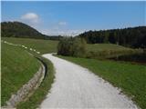 2
2 3
3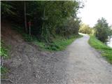 4
4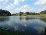 5
5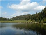 6
6 7
7 8
8 9
9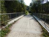 10
10 11
11 12
12 13
13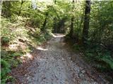 14
14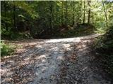 15
15 16
16 17
17 18
18 19
19 20
20 21
21 22
22 23
23 24
24 25
25 26
26 27
27 28
28 29
29 30
30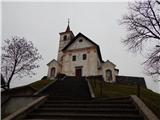 31
31
Discussion about the trail Lake Gradišče - Sveti Mohor on Mohorjev hrib
|
| grega_p11. 01. 2021 |
Odlična pot, ponuja lep sprehod ob jezeru, idilično postavljeno cerkev Sv. Mohorja in z ovinkom še ruševine gradu Rožek, od koder se kmalu priključimo na zgoraj omenjeno pot (neoznačeno stezo).
Za povratek pa priporočam krožno varianto mimo vasi Prikrnica in priključitev nazaj na pot ob južnem delu jezera. Vse skupaj cca 2h.
Trenutno je res lepa zimska podoba, ravno toliko da je belo in obenem ne preveč, da ni potrebno gaziti.
|
|
|