Lake Mikleuška - Humka (Moslavačka gora)
Starting point: Lake Mikleuška (160 m)
Time of walking: 1 h 50 min
Difficulty: partly demanding marked way
Altitude difference: 327 m
Altitude difference po putu: 430 m
Map:
Recommended equipment (summer):
Recommended equipment (winter): helmet, crampons
Views: 805
 | 1 person likes this post |
Access to the starting point:
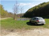
Leave the Zagreb-Slavonski Brod motorway at the Kutina exit. Take the exit to Kutina, where you turn left at the traffic lights in the direction of Popovača, Ivanić Grad. Continue through Repušnica to Gornja Gračenica, where you will see the signpost Ciglenica, Mikleuška at one of the crossroads. Go through the above-mentioned villages, then the asphalt ends and you reach a quarry. Pass the quarry and follow the road to Lake Mikleuška, which is unfortunately abandoned (state 2021). Here we see the first signs, and we park in a suitable place.
Path description:
From Lake Mikleuška we quickly climb the forest cart track, where we walk along path No 111, with the letter Y next to some of the markings (the local mountaineering association is called Yeti). Cart track soon leads us to a ridge, where we reach a forest road. Continue downhill, and quickly leave the road, as at the route sign with the inscriptions Bela crkva and Humka we continue sharp left downhill.
The path ahead descends in a few bends to the gorge of a small stream. This part of the trail is quite slippery in the wet, but soon you will reach fixed safety gear and the most difficult part of the trail, where you will descend along the rocks all the way down to the small stream. Skip over the stream, then move away from it a little, with a couple of ropes to help you. When the fixed safety gear are finished, you will reach the place where the stream you have been walking along empties into the Crkveni brook.
The path ahead turns sharp left and heads north, leading to a resting place and a bridge over the Crkvenega brook.
For some time we walk along the Crkvený brook, which has several jumps and rapids along the way, and the above-mentioned part of the route is again a little more difficult. The stream is crossed several times, and shortly before the crossroads you reach a former pond, which is unfortunately abandoned.
After the pond is a crossroads. To the left is a one-minute walk to the ruins of the White Church, and we go right up the hill.
Now we climb steeply up the cart track, and when we reach the ridge the path is laid. You quickly reach a road where you take a sharp left to the north. Continue parallel to the road, joining it a little further on. After a little more walking, you reach the summit of Vis, the second highest peak of Moslavačka Mountain, which offers a fine view to the south.
There is a registration book and a stamp at the top.
From here to Humka it is about half an hour along a forest road.
Soon we see a small shelter on the right, and the path from Kutinica joins us.
This part of the road is laid with some slight ups and downs. After the ramp, the path splits: to the right a sloping path, to the left a steep path. Higher up, the two paths merge, and after a minute's further walking we arrive at Humka. At the top are a monument and a TV tower. The view is blocked by a forest. There is a small hut at the top where you can have a bucket lunch, the inside is locked.
Mikleuška - Bela crkva 1 h
Bela crkva - Vis 20 min
Vis - Humka 30 min

Pictures:
 1
1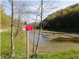 2
2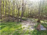 3
3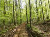 4
4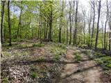 5
5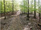 6
6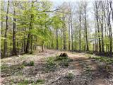 7
7 8
8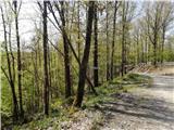 9
9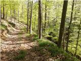 10
10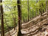 11
11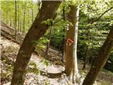 12
12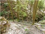 13
13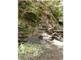 14
14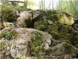 15
15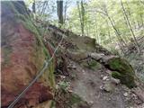 16
16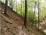 17
17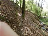 18
18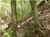 19
19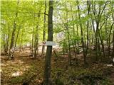 20
20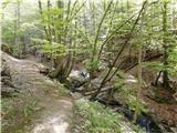 21
21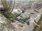 22
22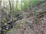 23
23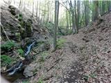 24
24 25
25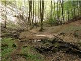 26
26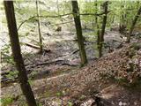 27
27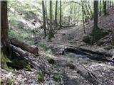 28
28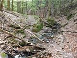 29
29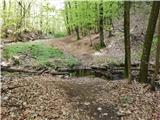 30
30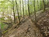 31
31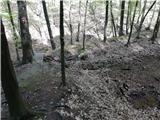 32
32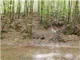 33
33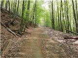 34
34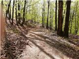 35
35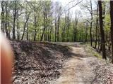 36
36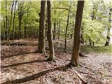 37
37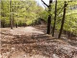 38
38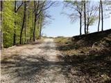 39
39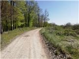 40
40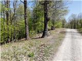 41
41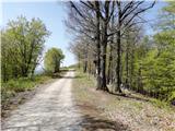 42
42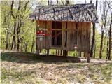 43
43 44
44 45
45 46
46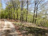 47
47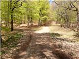 48
48 49
49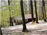 50
50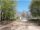 51
51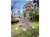 52
52
Discussion about the trail Lake Mikleuška - Humka (Moslavačka gora)