Starting point: Lake Negova (220 m)
| Lat/Lon: | 46,59423°N 15,96414°E |
| |
Time of walking: 1 h
Difficulty: easy marked way
Altitude difference: 121 m
Altitude difference po putu: 170 m
Map:
Recommended equipment (summer):
Recommended equipment (winter):
Views: 299
 | 1 person likes this post |
Access to the starting point:
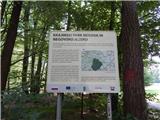
Leave the Pomurje motorway at exit Sveti Jurij ob Ščavnici and follow the road towards Radenice. Shortly after leaving the motorway, turn left towards Negova and follow the road towards Negova and Negova Castle at the following junctions. Leave the road to Negova at the point where the signs for Ivanjski Vrh and Negova Lake direct you left onto a side road which descends slightly. When you arrive in Ivanjski Vrh, turn right towards the lake, where you park in a suitable place, just a few metres off the marked path.
Path description:
From the starting point, return to the mountain signposts and then head towards Cerkvenjak and Lake Blagoško, where you initially walk along a fairly steep asphalt road. The road leads us higher out of the forest, and then it lays down and leads us past the occasional hamlets of Ivanjski Vrh. The asphalt road, which offers us quite nice views of the surroundings, also has a few crossroads where we follow the markings of the Pomurska mountain trail. At the crossroads where the road to the Kunova settlement and the Pachamama centre branches off to the right, go left. Just a little further on, at the stop sign, where you reach a slightly wider asphalt road, go right. Walk for a few minutes along the edge of this road, which leads further towards Sveta Trinity, and at the marked crossroads we go left towards Cerkvenjak and Sveta George by the Ščavnica River.
The way forward leads us again along a slightly narrower asphalt road, which mostly climbs gently to moderately. A little further on we reach the Cogetinci Cenkova settlement, where we reach a crossroads at a left turn.
The road to the Archaeological Park branches off to the right, and we continue along the main road, which becomes a little steeper as it passes. When the road is laid, we pass the plague marker in Cogetinci, and a few minutes further on we arrive in Cerkvenjak. When you reach the main road in Cerkvenjak at the Territorial Defence of the Republic of Slovenia Ptuj, turn right. A few steps further on, cross the main road carefully at the pedestrian crossing, then continue on the pavement through the centre of the village, passing the inn at Anton, to the Church of St. Anthony the Hermit, located at the highest point of the village.
The description and pictures refer to the situation in July 2021.

Pictures:
 1
1 2
2 3
3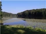 4
4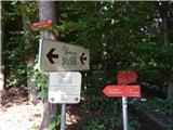 5
5 6
6 7
7 8
8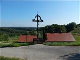 9
9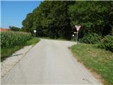 10
10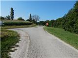 11
11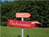 12
12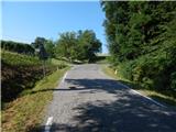 13
13 14
14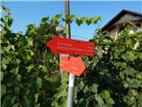 15
15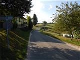 16
16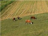 17
17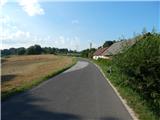 18
18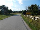 19
19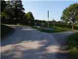 20
20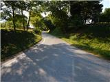 21
21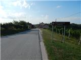 22
22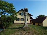 23
23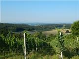 24
24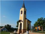 25
25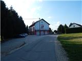 26
26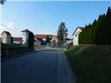 27
27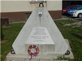 28
28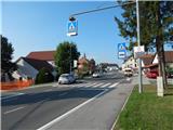 29
29 30
30 31
31 32
32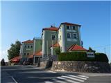 33
33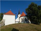 34
34
Discussion about the trail Lake Negova - Cerkvenjak