Lakkos tou Mygerou - Agathias (Kreta)
Starting point: Lakkos tou Mygerou (1570 m)
| Lat/Lon: | 35,2415°N 24,77806°E |
| |
Time of walking: 3 h
Difficulty: easy marked way
Altitude difference: 854 m
Altitude difference po putu: 854 m
Map: Anavasi 11.14
Recommended equipment (summer):
Recommended equipment (winter):
Views: 109
 | 1 person likes this post |
Access to the starting point:
The starting point on the Greek island of Crete is located above the village of Livadia (also Livadya; gr. Λιβάδια; postal code 74051) at the Lakkos tou Mygerou hut (gr. Λάκκος του Μυγερού) at an altitude of 1550 m.
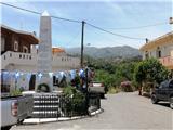
The turnoff from the village of Livadia is marked and is located in a small square with a monument (see picture). From the village to the hut, there are 13 km of asphalted road with occasionally steep bends, but it is in good condition and wide enough for cars to pass each other.
Afterwards follow the road signs for Psiloritis in Greek "Ψηλορείτης".
Path description:
A few steps from the parking lot further along the road, the path branches off to the right towards the slope. It is paved with flat stones from the surrounding area. Sand collects on these stones, so expect a slippery return journey.
About two-thirds of the way to the saddle, the path is paved, but above about 2000 meters, it becomes more like an usual mountain trail. At 2250 meters, after two hours of walking, the path merges with the one coming from the Nida plateau (a large hollow plain to the east).
The path then turns west and initially leads below the mountain of Agathias until it reaches the saddle between Timios Stavros and Agathias (the view to the southern part of Crete opens up at this point).
The main path leads to the top of Psiloritis (Timios Stavros). But for Agathias there are mostly goat trails that deviate to the left up slope and lead to the top through frequent thorny vegetation around.
The photos are from June, 2024, and August 2022 (the last 100 m of altitude).

Pictures:
 1
1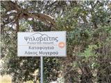 2
2 3
3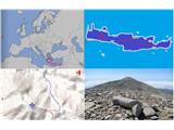 4
4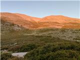 5
5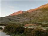 6
6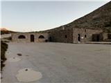 7
7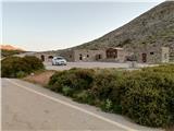 8
8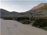 9
9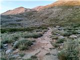 10
10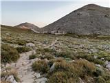 11
11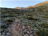 12
12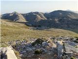 13
13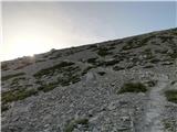 14
14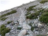 15
15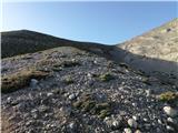 16
16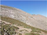 17
17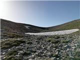 18
18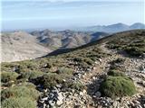 19
19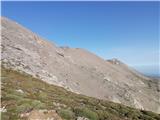 20
20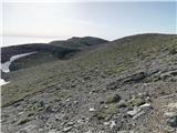 21
21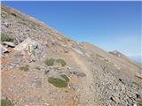 22
22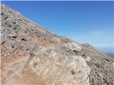 23
23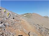 24
24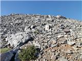 25
25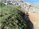 26
26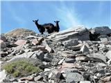 27
27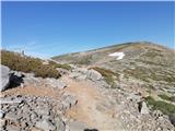 28
28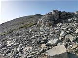 29
29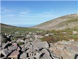 30
30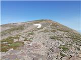 31
31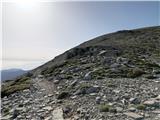 32
32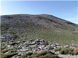 33
33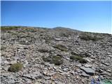 34
34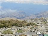 35
35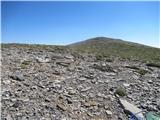 36
36 37
37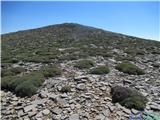 38
38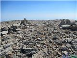 39
39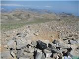 40
40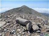 41
41
Discussion about the trail Lakkos tou Mygerou - Agathias (Kreta)