Landro - Lastron dei Scarperi / Schusterplatte
Starting point: Landro (1406 m)
| Lat/Lon: | 46,64035°N 12,23197°E |
| |
Time of walking: 6 h 30 min
Difficulty: difficult pathless terrain
Altitude difference: 1551 m
Altitude difference po putu: 1664 m
Map: Tabacco 10 1:25.000
Recommended equipment (summer): helmet
Recommended equipment (winter): helmet, ice axe, crampons
Views: 482
 | 4 people like this post |
Access to the starting point:
Via Border crossing Rateče, take the road to Trbiž / Tarvisio, where you take the motorway towards Udine. Leave the motorway at the exit for Tolmezzo and follow the road to the above-mentioned place. From Tolmezzo, continue in the direction of Ampezzo and the Passo della Mauria mountain pass. The road then begins to descend and leads into the Cadore valley, where you continue to the right (Belluno and Cortina d'Ampezzo on the left) in the direction of Auronzo. After a few more kilometres, you reach the next major crossroads, where you turn right towards Misurina (left Tre Croci Pass). From here you follow the road down to a major crossroads, where you turn right towards Toblach / Dobbiaco (left Cortina). From the crossroads continue past Lago di Landro / Dürrensee. From the lake, follow the main road for about a kilometre and then turn right into a large gravel parking area.
Path description:
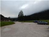
From the parking lot, head east on the dirt road (route 102), following the signs "Rif. Locatelli". After a few dozen metres, you reach a crossroads where you continue straight ahead on the dirt road. Here, the path opens up to a fine view of the Cristallo mountain group and the nearby Monte Piano
When we get a little closer to the slopes of Monte Piano, we are at the crossroads again. The path branches off to the right towards the summit and Lago di Landro, and we continue slightly to the left, following the signs "Rif. Locatelli". We continue along the dirt road that runs through the Valle della Rienza/Rienztal valley along the Rienza Nera stream. Later, a path forks off to the left towards the climbing nursery, and shortly afterwards a path forks off to the right towards mountain pasture Malga Rinbianco. At the crossroads, we continue along the sloping road, which offers very nice views of the surrounding peaks above the valley.
Then to the left, we take the road No 10 to the Passo Grande dei Rondoi and on to the Tre Scarperi hut, we continue on the dirt road, which soon turns into a track. The trail continues along the Rienza Nera stream and leads through a rare larch forest.
When we reach a small grassy clearing, a less well-beaten track branches off to the right towards the Langalm Hütte. Here we continue straight on, following the signs for Rifugo Locatelli. The path then leads out of the forest and then climbs in long switchbacks through the dwarf pines. Later, you will come to steeper slopes where you will also see a waterfall along the way. The path is also protected by a fence at this point. There is a short climb, and then we reach the flatter grassy slopes, from which we have a wonderful view towards Trem Cinam.
To the right, the trail No 105 soon branches off towards the Langalm hut and on towards the Auronzo hut. At the crossroads, we continue straight on towards the Locatelli hut and start climbing a little steeper up a very scenic path. As we approach the slopes of Monte Paterno, we are joined on the right by a wide path from the Lavaredo hut. At the crossroads, continue left and there is a slightly steeper climb up to the Locatelli hut.
From the hut, continue north along route 102, which begins to descend gently. The path leads us past a cross by which there is also a small bench and a table. Just beyond the cross, we come to a crossroads. Bear left after the 'Lastron dei Scarperi' signs. The path then crosses the mainly grassy slopes on the eastern side of Torre di Toblin and leads to Forcella di San Candido on the north-eastern side of the summit.
At the notch, a signpost points to the right and the ascent continues, crossing the slopes on the right south side of the ridge. The path then soon turns to the left and leads to a small notch. Here we continue to the north side along a path which crosses a rather steep and crumbly slope in the descent. Some caution is also needed here. The path continues up the valley on the west side of the summit of Crodon di San Candido. The path is reasonably well trodden and is helped by the cairns and some faded markings. Here we initially climb on scree and then a slightly steeper rocky section where the climbing does not go beyond the first pitch. After the rock section there is another climb on scree which leads to an unmarked crossroads.
At the crossroads, continue to the left and the path to the right leads to the summit of Crodon di San Candido. We continue to climb the scree and just before we reach the ridge the path leads us to the entrance to the ravine through which there is a passage to the top slope of the mountain.
A helmet is essential when climbing through the ravine, as there is a lot of rubble on the path. For some time we continue to climb up the ravine, but when the ravine becomes very narrow, cairns directs us up to the left. The first few metres out of the gully are a little steeper and a little more caution is needed. The path then leads us above the ravine and just before the notch turns sharply to the left. The path becomes slightly less steep and leads us to the south side of the summit. Here you continue slightly to the right and soon reach the ridge. After a scenic and easy ridge, you will soon reach the summit.
Descend along the ascent route.

Pictures:
 1
1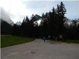 2
2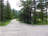 3
3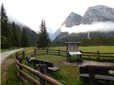 4
4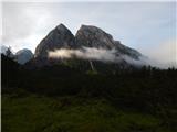 5
5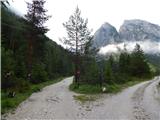 6
6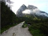 7
7 8
8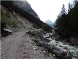 9
9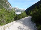 10
10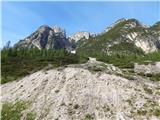 11
11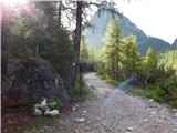 12
12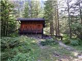 13
13 14
14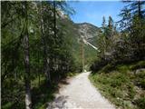 15
15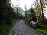 16
16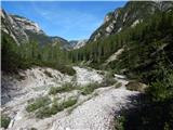 17
17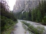 18
18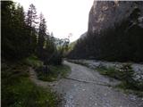 19
19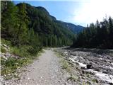 20
20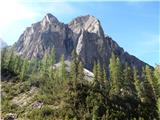 21
21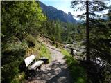 22
22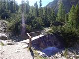 23
23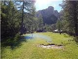 24
24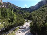 25
25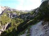 26
26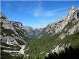 27
27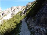 28
28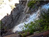 29
29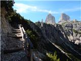 30
30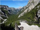 31
31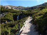 32
32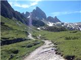 33
33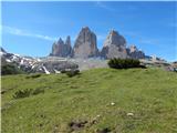 34
34 35
35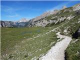 36
36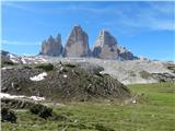 37
37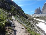 38
38 39
39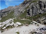 40
40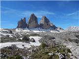 41
41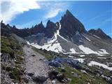 42
42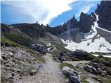 43
43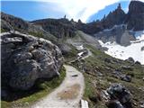 44
44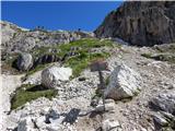 45
45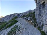 46
46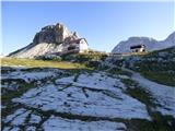 47
47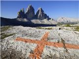 48
48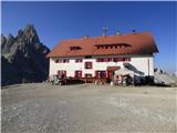 49
49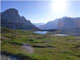 50
50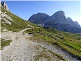 51
51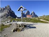 52
52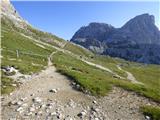 53
53 54
54 55
55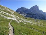 56
56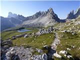 57
57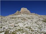 58
58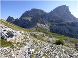 59
59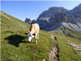 60
60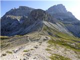 61
61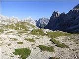 62
62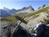 63
63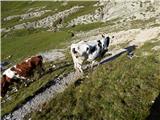 64
64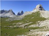 65
65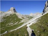 66
66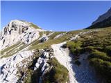 67
67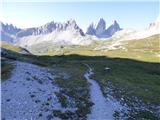 68
68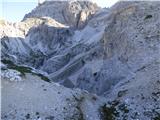 69
69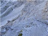 70
70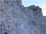 71
71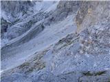 72
72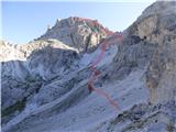 73
73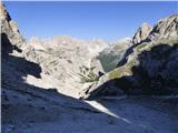 74
74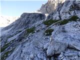 75
75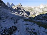 76
76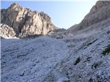 77
77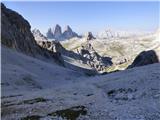 78
78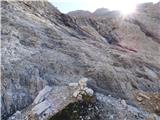 79
79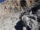 80
80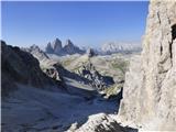 81
81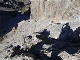 82
82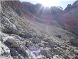 83
83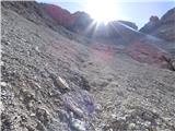 84
84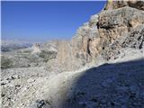 85
85 86
86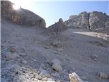 87
87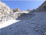 88
88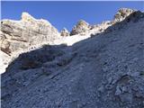 89
89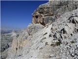 90
90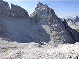 91
91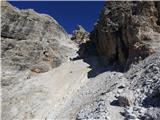 92
92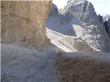 93
93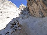 94
94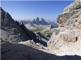 95
95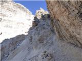 96
96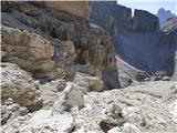 97
97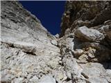 98
98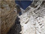 99
99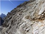 100
100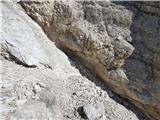 101
101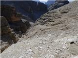 102
102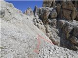 103
103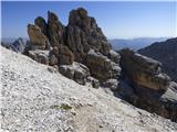 104
104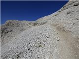 105
105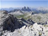 106
106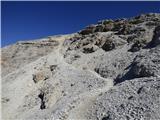 107
107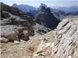 108
108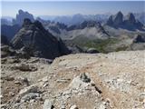 109
109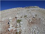 110
110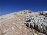 111
111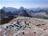 112
112 113
113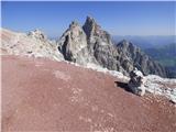 114
114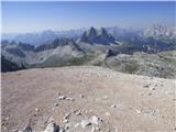 115
115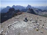 116
116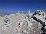 117
117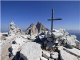 118
118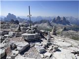 119
119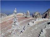 120
120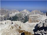 121
121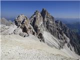 122
122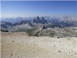 123
123
Discussion about the trail Landro - Lastron dei Scarperi / Schusterplatte
|
| mirank7. 12. 2017 |
Vrh je dostopen iz štirih različnih izhodišč, od katerih je opisani najdaljši in izhodišče tudi najdalj od Slovenije. Se pa vsi dostopi (iz Val Fiscaline, od rif. Auronzo ali Iz Val campo di dentro) združijo na Sedlu San Candido sev od Toblina. O kakšnem brezpotju tu ne more biti govora, saj je steza do vrha zelo dobro vidna in uhojena, možicev ne manjka pa še precej zbledele rdeče packe (tu in tam tudi rumene) so kar pogoste. Razgledi pa so-kot skoraj povsod tu okoli, res fantastični; Tura bo navdušila vsakogar, ne glede na izhodišče od koder se bo podal na ta vrh.
|
|
|