Starting point: Lanišče (600 m)
| Lat/Lon: | 46,0451°N 14,7096°E |
| |
Time of walking: 30 min
Difficulty: easy marked way
Altitude difference: 192 m
Altitude difference po putu: 192 m
Map: Ljubljana - okolica 1:50.000
Recommended equipment (summer):
Recommended equipment (winter):
Views: 36.329
 | 2 people like this post |
Access to the starting point:
a) From the Ljubljana Eastern Bypass, take the Bizovik exit, then continue towards Sostrem and Besnica. After the pass, where the road to Javor branches off to the right, the road starts to descend and then, after a short macadam section, leads to the valley of the brok Besnica, from where we continue along the main road towards Veliko Trebeljevo. While driving through the valley, pay attention to left turns, as at the turn-off for Janče you will turn left onto a steeply ascending road, which will take you to the village of Gabrje pri Janče. Leave the main road here and continue right along a slightly narrower road towards Volavlje. When you reach the crossroads by the transformer, you are already at the starting point of the route described above. Park in a suitable place on the roadside before or after the junction, there are no suitable parking places at the junction.
b) First drive to Zalog (a part of Ljubljana), then cross the Ljubljanica River and continue driving towards Podhrad, where you turn right towards Besnice. The road ahead first passes through a narrow underpass under the railway line and then gradually starts to climb. At Besnica the road from Sostre joins the road, and we continue straight on towards Veliki Trebeljevje. As you drive through the valley, watch out for left turns, as at the turn-off for Janče you will turn left onto a steeply ascending road, which takes you to the village of Gabrje pri Janče. Leave the main road here and continue right along a slightly narrower road towards Volavlje. When you reach the crossroads by the transformer, you are already at the starting point of the route described above. Park in a suitable place on the roadside before or after the junction, there are no suitable parking places at the junction.
c) First drive to Litija and from there continue to Zavrstnik, Štangarske Poljane and Maly and Veliki Trebeljevje. Before Malo Trebeljevo turn right towards Prežganje, and we follow the road first to Prežganje and from there to Volavlje. After Volavlje, the road descends to a junction by a transformer, where the route described above begins. You can park earlier at a suitable place along the road.
Path description:
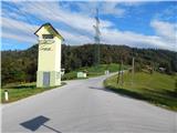
From the junction by the transformer, follow the road as it begins to climb northwards, which leads under a high-voltage power line. After the power line, turn slightly left onto the marked footpath towards Janč. Follow cart track as it climbs through a hay meadow, then the path enters a forest, through which it climbs crosswise to the right. When the ascent ends, leave the wods and pass a house on the asphalt road, which is reached near the church of St Nicholas. Cross the road slightly to the left, then follow the narrower road towards the nearby Janče Mountain Home, which is reached after a minute's further walking.
Description and pictures refer to the situation in 2014 (September).
Pictures:
 1
1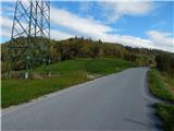 2
2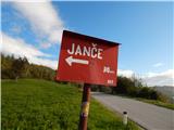 3
3 4
4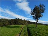 5
5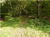 6
6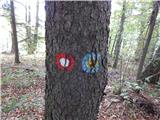 7
7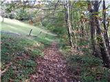 8
8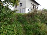 9
9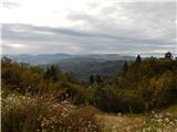 10
10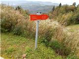 11
11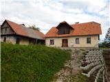 12
12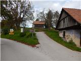 13
13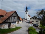 14
14 15
15 16
16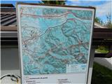 17
17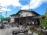 18
18 19
19
Discussion about the trail Lanišče - Janče