Lanišče - Roman fortress (Lanišče)
Starting point: Lanišče (640 m)
| Lat/Lon: | 45,8883°N 14,1623°E |
| |
Time of walking: 1 min
Difficulty: easy marked way
Altitude difference: -5 m
Altitude difference po putu: -5 m
Map:
Recommended equipment (summer):
Recommended equipment (winter):
Views: 2.770
 | 1 person likes this post |
Access to the starting point:
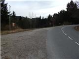
a) From Postojna, Logatec or Godovič, drive to Kalce near Logatec and from there continue in the direction of Podkraje. A few 100 metres further on from the left serpentine, a dirt road branches off the main road to the left, with signs for Roman fortress at Lanišć. Park in a suitable place near the crossroads.
b) From Ajdovščina, Predmeja or Črni Vrho nad Idrijo, take Col, from there continue to Podkraj and on to Logatec. When you reach the municipality of Logatec, at the part where the road descends and turns slightly to the left, you will reach a small crossroads where a macadam road branches off to the right, along which you will see the signs for Roman fortress at Lanišč. Park near the crossroads.
Path description:
From the main road, continue along the dirt road in the route Roman fortress, which splits into two parts after only a few metres. Continue along the right-hand road, along which there are mountain signs for Grčarevec. After the crossroads, the path leads us along the edge of the meadow, then into the forest and after a further 10 steps we reach the Old Roman fortress at Lanišć.
Description and pictures refer to the situation in 2016 (April).
Pictures:
 1
1 2
2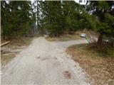 3
3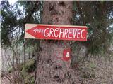 4
4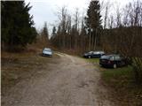 5
5 6
6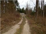 7
7 8
8 9
9 10
10 11
11 12
12 13
13
Discussion about the trail Lanišče - Roman fortress (Lanišče)