Starting point: Lašče (380 m)
| Lat/Lon: | 45,7918°N 14,9475°E |
| |
Time of walking: 1 h 45 min
Difficulty: easy marked way
Altitude difference: 508 m
Altitude difference po putu: 525 m
Map: Dolenjska, Gorjanci in Kočevski rog 1:50.000
Recommended equipment (summer):
Recommended equipment (winter):
Views: 18.013
 | 2 people like this post |
Access to the starting point:
a) From the motorway Ljubljana - Novo Mesto, take the exit Ivančna Gorica and continue in the direction of Žužemberk and Črnomelj. Just after Žužemberk, in Dvor, leave the main road and turn right towards Kočevje. After the bridge over the Krka River, the road starts to climb steeply, and we follow it to the village of Lašče, where we park in the parking lot opposite the local inn.
b) From the Border crossing Obrežje - Ljubljana motorway, take the exit Novo Mesto - east, and we continue to the above-mentioned place. From Novo Mesto we continue in the direction of Straža, Soteska and later Žužemberk. When you reach Dvor, turn left and continue driving towards Kočevje. After the bridge over the Krka River, the road starts to climb steeply and we follow it to the village of Lašče, where we park in the parking lot opposite the local inn.
Path description:
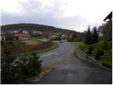
A little further on from the inn, a forest road branches off to the left, along which you can see signs for the European Footpath E7. Take this road, which soon loses its asphalt coating and continues to climb moderately through the forest. At a crossroads, continue along the road on the left, where you will see signs for St Peter's. The road then lays down and leads us out of the forest to a larger clearing called Oražem. After the clearing we come to a crossroads where, next to a hunting observation post, we see a sign for St Peter directing us to the road on the right. Although the signs point to the right, we continue on the lower left road, along which we follow the signs (it is also possible to continue on the right road). The left road then completely lays down, or even begins to descend gently after a while. Follow the above-mentioned road to the crossroads where the marked path from Podgozd joins from the left. Here, at the cross-route station No 8, continue along a slightly steeper road on the right, from which a marked footpath soon branches off to the left, crossing a recently abandoned road at a higher level. Continue on cart track, which climbs past the next cross and gradually turns into a pleasant wodland path. Cross the road again at a higher level, and continue along cart track, which here again turns into a footpath, leading to a mesh fence at a higher level. The path, which climbs first moderately and then steeply along the fence, is followed all the way to the top of St Peter's Hill, where there is a small shelter and a wooden lookout tower.

Pictures:
 1
1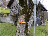 2
2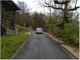 3
3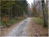 4
4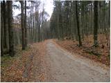 5
5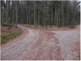 6
6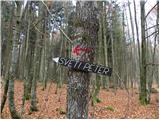 7
7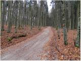 8
8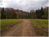 9
9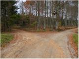 10
10 11
11 12
12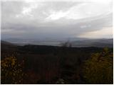 13
13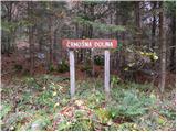 14
14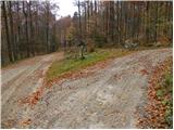 15
15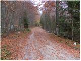 16
16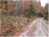 17
17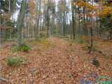 18
18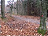 19
19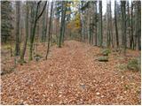 20
20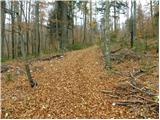 21
21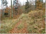 22
22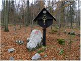 23
23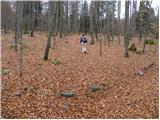 24
24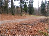 25
25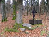 26
26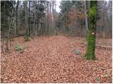 27
27 28
28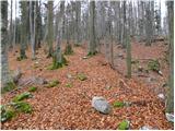 29
29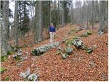 30
30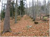 31
31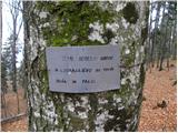 32
32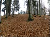 33
33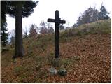 34
34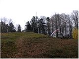 35
35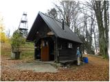 36
36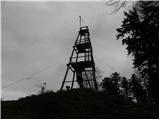 37
37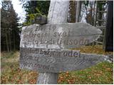 38
38 39
39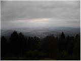 40
40
Discussion about the trail Lašče - Sveti Peter
|
| aleš437. 11. 2010 |
Ponavadi grem iz Podgozda po križevemu potu. Vsekakor bom probal še to varianto iz Lašč!
|
|
|
|
| Lj10. 04. 2011 |
Danes sem bila po skoraj 6-ih letih zopet na tem vrhu. Prijetno presenečenje - domačini so izredno lepo uredili zavetišče in okolico, tako da se je kar težko odpravit nazaj v dolino. Vsa pohvala!
|
|
|
|
| lakkon11. 04. 2013 |
Pozdravljeni,
mene pa zanima naslednji teden dopoldne enkrat sreda-petek (če bo vreme) pohod na Sv. Peter iz Podgozda in to iz dveh razlogov (vir: zemljevid Dolenjska Gorjanci Kočevski rog 1: 50.000):
ni veliko poti na Dolenjskem, kjer priložnost premagati v bolj krajšem času slabih 700m nadmorske višine
+
da ni pot po cesti ampak po pešpoti skozi gozd, kar verjetno tudi bolj zanimivo.
me pa kar čudi, da ta pot ni navedena na hribi.net kot tudi kje drugje. morda ni dobro označena? kak nasvet bi dobro prišel. Parkiranje-izhodišče?
kako velika je verjetnost, če sploh, za srečanje z medvedom glede na to, da gre najbrž že za del Kočevskega roga, kjer jih naj bi kar nekaj bilo?
V tednih, ki sledijo, pa morda obiščem tudi še Bazo 20 iz Občic ter Plešivico iz Soteske oz. Drenje. Oboje po poteh, ki črtkano označeni na že omenjenem zemljevidu in ne po cestah. Medvedi?
Hvala za pomoč.
|
|
|
|
| Ivica 3. 06. 2013 |
Pozdravljeni.
Sam tečem 2x tedensko na bazo 20, vas Pogorelec, Jelendol, medvedov je nekaj, vendar se praviloma umikajo, jaz vsake tolko časa s teniskami zaškrtam, da slišijo. Do sedaj sem ga videl na varni razdalji 1x na ravnini pred bazo 20 in 1 x pri Jelendolu, se je pa hitro umaknil. Samo glasen je potrebno bit.
|
|
|
|
| Aja120. 02. 2018 |
Zelo lepa pot je tudi tista z izhodiščem na Podgozdu. Je bolj strma, pot poteka po gozdu in je zelo dobro markirana.
|
|
|
|
| opazovalec29. 02. 2020 |
Sveti Peter nad Sotesko oz. dolino reke Krke nudi v jasnih dneh izjemne poglede na Julijske Alpe, Karavanke , Kamniške Alpe in dele Dolenjske do Kuma, a druge smeri ovira gozd. Dostop je enostaven in pot dobro markirana.
|
|
|
|
| Pohodnicar2. 08. 2023 13:40:53 |
Lepa pot
Na pot smo se sicer odpravili 29.7.2023 od Soteske in je trajala 2h30min. Naša pot je bila lepo prehodna. Z vrha smo se hoteli spustiti po poti opisana na tej strani vendar kakšne 500m pod vrhom pot ni bila prehodna zaradi podrtih dreves, zato smo šli nazaj kjer smo prišli (pot po opisu Mrzle doline)
|
|
|