Starting point: Laško (229 m)
| Lat/Lon: | 46,1633°N 15,2285°E |
| |
Time of walking: 2 h 15 min
Difficulty: easy marked way
Altitude difference: 707 m
Altitude difference po putu: 725 m
Map: Posavsko hribovje - zahodni del 1:50.000
Recommended equipment (summer):
Recommended equipment (winter): crampons
Views: 15.207
 | 1 person likes this post |
Access to the starting point:
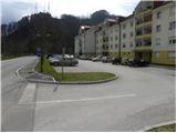
a) From the motorway Ljubljana - Maribor, take the exit Celje - centre, then continue to Laško and Zidane Most. Once in Laško, turn right at the traffic lights opposite the petrol station in the direction of Spodnje and Zgornja Rečica and Hude Jama. Park in one of the car parks near the Laško fire station.
b) From Zasavje or Posavje, drive to Zidani Most or Rimske Toplice, then continue towards Celje. When you reach Laško, the signs for Spodnja and Zgornja Rečica and Huda Jama point you to the left. Turn left here and then park in one of the car parks near the Laško fire station.
Path description:
At the Laško Fire House you will see the start of the trail leading to Šmohor. The trail initially leads past the fire house, then after a few 10 m we arrive at a small chapel, next to which we see mountain direction signs. Here we continue along the ascending road in the direction of Šmohor, Kala and Mrzlica, and we follow it in the first fork to the right and then leave it after a few metres, as the signs direct us left on a marked footpath, which initially climbs up the stairs. Above the houses, the path continues across the meadow, which leads to the grassy cart track by the electricity pylon. Next, with a view of Laško and Hum, walk to the edge of the wood, then continue past the sign into the lane wood. Climb along the edge of the forest for a short distance, then turn off onto what was initially a dirt road, which leads to an asphalt road with good views of Posavsko hribovje. Follow the road to the right, which quickly leads to a small crossroads where the road to the farm Primož branches off to the right. Continue straight ahead, and follow the road to a small hamlet where the asphalt ends. We continue along the marked dirt road (direction Šmohor), which soon turns left into cart track, which leads to Šmohor. The ascent continues along the above-mentioned cart track, which, in a cross-climb over a relatively steep slope, quickly leads to the next farm.
From the farm, continue along cart track, which climbs between grazing fences, then passes into the woods and splits into two parts. Continue along the lower left-hand cart track, which joins a dirt road a few minutes higher, which is followed to the left. The road opens up some views towards Laško and the surrounding area, and then signs direct us right onto the ascending cart track, which soon lays completely flat and then crosses the slopes to the left. A little further on, we briefly join the tarmac road leading to Šmohor, and we continue on the marked footpath which runs parallel to the road. A little higher up, at a large rock to the right, the path branches off to Malič (straight ahead Home to Šmohor). Here you take a sharp right and climb a relatively steep path over an equally steep slope. The path continues to climb crosswise to the right for some time, then turns slightly to the left and joins the path from Dom na Šmohorju. Here, continue to the right, where you will quickly reach a paragliding airstrip. The path then climbs steeply and, following the forested western ridge of Malič, quickly leads to the summit.

Pictures:
 1
1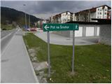 2
2 3
3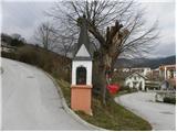 4
4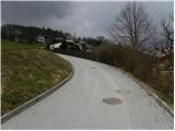 5
5 6
6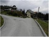 7
7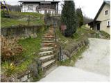 8
8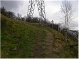 9
9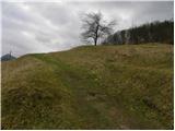 10
10 11
11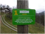 12
12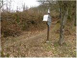 13
13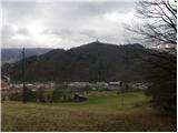 14
14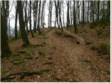 15
15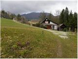 16
16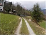 17
17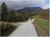 18
18 19
19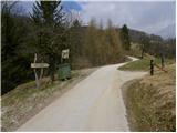 20
20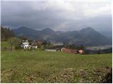 21
21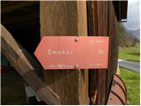 22
22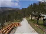 23
23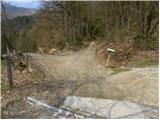 24
24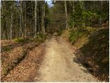 25
25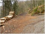 26
26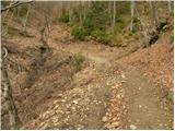 27
27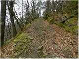 28
28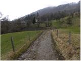 29
29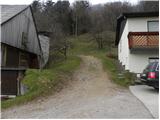 30
30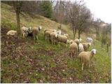 31
31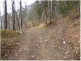 32
32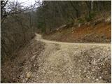 33
33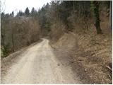 34
34 35
35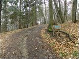 36
36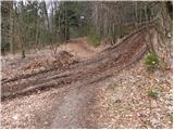 37
37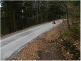 38
38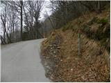 39
39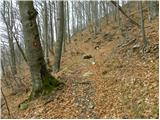 40
40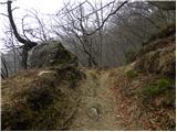 41
41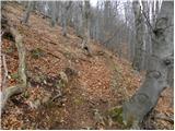 42
42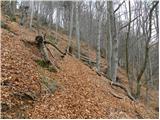 43
43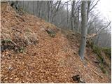 44
44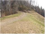 45
45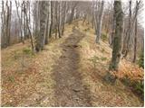 46
46 47
47
Discussion about the trail Laško - Malič