Lepena - Great Soča Gorge
Starting point: Lepena (460 m)
| Lat/Lon: | 46,3349°N 13,6455°E |
| |
Time of walking: 20 min
Difficulty: easy marked way
Altitude difference: 20 m
Altitude difference po putu: 50 m
Map: Julijske Alpe - zahodni del 1:50.000
Recommended equipment (summer):
Recommended equipment (winter):
Views: 41.053
 | 5 people like this post |
Access to the starting point:
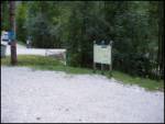
From the road Trenta - Bovec drive to the village Soča, where the signs for Lepena direct you left (or right from the Bovec side) steeply downhill. The road then crosses a part of the Velika korite via a bridge and then quickly leads to a marked parking area, where we park.
Path description:
From the parking lot, turn onto the road you came on and follow it to where the road crosses Velika korita. Here you will see a tourist sign by the road, which directs you to the initially wide path that runs along the edge of the Velika korite Soče. The path mostly passes through the forest and only approaches the troughs at viewpoints (caution - risk of slipping into the raging river). A little further on, via a suspension bridge, we join the path from the main road between Trenta and Bovec. Continue along the right side (left bank) of the Soča River and the path quickly leads to the beginning of the riverbed.
Pictures:
 1
1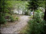 2
2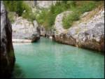 3
3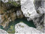 4
4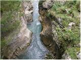 5
5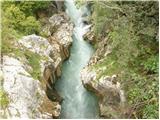 6
6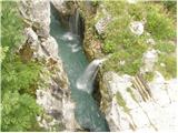 7
7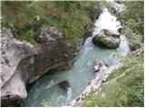 8
8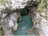 9
9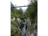 10
10 11
11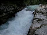 12
12
Discussion about the trail Lepena - Great Soča Gorge