Lepena - Vogel (above Lepena) (via Planina Zagreben)
Starting point: Lepena (490 m)
| Lat/Lon: | 46,31593°N 13,65404°E |
| |
Name of path: via Planina Zagreben
Time of walking: 5 h 30 min
Difficulty: difficult pathless terrain
Altitude difference: 1490 m
Altitude difference po putu: 1600 m
Map: Julijske Alpe - zahodni del 1:50.000
Recommended equipment (summer):
Recommended equipment (winter): ice axe, crampons
Views: 1.020
 | 2 people like this post |
Access to the starting point:
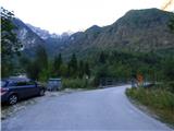
Between Trenta and Bovec, the road to Lepena branches off at the village of Soča. Follow this road, which is fully asphalted, for about three kilometres and then come to a crossroads where the road to the Pretner and Hosner apartments branches off to the right over a bridge. Turn right and park on the roadside in front of the bridge. There is only room for one or two vehicles. There is a slightly larger parking lot about 100 metres further along the main road.
Path description:
From the starting point, cross the bridge and follow the road as it turns left after the bridge. Follow the road until you reach the last house. When the road forks right at the cart track, we continue to the left and descend a little. When you reach the last house, the road ends. Behind the house on the right you will see a narrow lane.
Take the path and after about ten metres you will see a signpost on the side of the path indicating the way to mountain pasture Zagreb. Continue along the path through the forest and you are quickly back at the crossroads. To the right, a path leads to another house, and we continue to the left where we are directed by the sign "Zagreben, Šumnik".
The trail is badly worn for some time, so you should pay attention to the black and red markings that mark the Peace Trail. When two more paths join from the right of the aforementioned house, the path becomes a little better trodden again. The path then passes through the forest along the Šumnik stream for some time. Higher up, the path moves slightly away from the stream, but for a while it still runs parallel to the stream. The trail passes through the forest all the time, so it does not offer much of a view. Later, the path turns right and leads to a crossroads by some ruins.
Here, the path branches off to the left and follows the valley towards the Čez Potoče saddle. We continue to the right and the path quickly leads us through a short clearing to the World War I memorial. It is about 1:30 walk from the starting point.
From the monument, continue to follow the Peace Trail, which is marked with red and black markings. The trail then crosses the slopes to the west and goes around the ridge from the summit of Konj (1279m) to the summit of Brdo (1520m). The slope we cross becomes quite steep and in a short part we are also helped by a cable car. The path also offers beautiful views of the peaks to the north. A little later there are two serpentines on the path and in a right turn we will come to a slightly less visible crossroads.
Here we leave the Peace Trail, which is marked with red and black markings, and turn left onto a less well-trodden path. At the start of this path there is an arrow carved into a tree on the right-hand side. The path then climbs slightly steeper and runs slightly to the left most of the time. A little more care is needed here as the path is not very visible. The path continues to climb and leads us to the deserted and rather overgrown mountain pasture Zagreben. The path leads past the ruins at mountain pasture and then turns right uphill. There is one last climb to the hunting lodge, which can already be seen in front of us.
From the hunting lodge, go back a few tens of metres to the first bend and turn right onto the initially very faint path. The slightly overgrown path, which leads us along bushes and a few trees, runs up the right side of the valley. The bushes and trees then end and the ascent up the slightly more scenic path follows. The path continues to follow the right side of the valley and climbs for some time on scree. Towards the end of the valley, the terrain becomes more grassy and the path becomes less visible again.
Leave the poorly visible track here and turn left onto the trackless path towards the saddle on the south side of Brdo Peak. The slope towards the saddle is quite overgrown with tall grass and nettles, so it is advisable to head left a little higher where the terrain is a little less overgrown.
When you reach the saddle, descend slightly to the other side and cross the slopes towards the Čez Potoče saddle. The saddle is still relatively far away, but can be seen. Continue to cross the slope to the south-east and you will soon come in front of a short lane of forest. The wooded slope, which is slightly steeper, is better avoided on the right, where the terrain is slightly less overgrown. On the other side of the forest, the terrain is littered with many rocks and boulders, often covered with snow.
Then we start to climb steeply again on scree towards the Čez Potoče saddle. As you climb the scree, you can also see a few remnants of the First World War. Higher up, the terrain becomes a little more grassy and the track is again a little more visible. There is a short climb and then the Čez Potoče saddle is soon reached.
At the saddle, where a reasonably well-trodden track leads straight down to Planina na Polju, turn left onto a trackless track. In the initial part of the climb, immediately along the ridge on the right. The slope here is covered with grass and is occasionally quite steep, so some caution is needed. Especially in wet conditions, the slopes can be dangerous for slipping. The ridge is briefly retreated a little more to the right, and then the climb back up to the ridge is resumed. Soon you reach a headland with some remains from the First World War. There are also some military tunnels on the eastern side of the headland.
From the summit, descend gently down the still mostly grassy slope, which is a shade less steep in this part. Then climb up the right side of the ridge again to the top of Vogel, which opens up a view towards the top of Veliki Lemež, further up the ridge. From the trail we have a nice view towards Krno and the valley of the Soča River.
Descend back down the ridge to the saddle Čez Potoče where you descend left down past Planina na Polju and Krnsko jezero to the Doma v Lepeni. It is about 45min walk back to the starting point.

We can extend the trip to the following destinations: Veliki Lemež
Pictures:
 1
1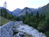 2
2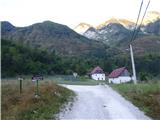 3
3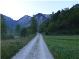 4
4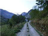 5
5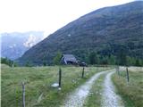 6
6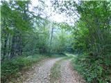 7
7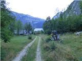 8
8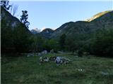 9
9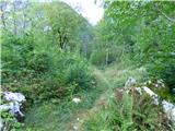 10
10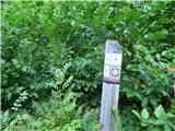 11
11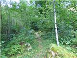 12
12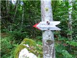 13
13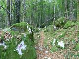 14
14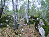 15
15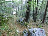 16
16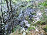 17
17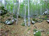 18
18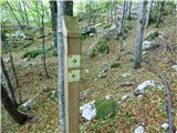 19
19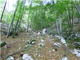 20
20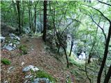 21
21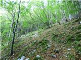 22
22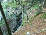 23
23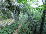 24
24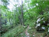 25
25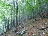 26
26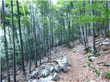 27
27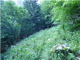 28
28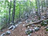 29
29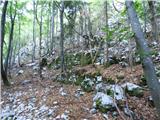 30
30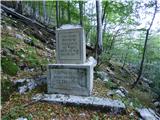 31
31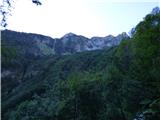 32
32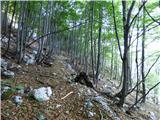 33
33 34
34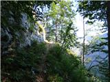 35
35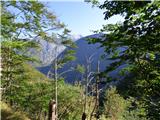 36
36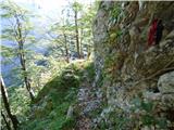 37
37 38
38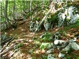 39
39 40
40 41
41 42
42 43
43 44
44 45
45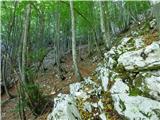 46
46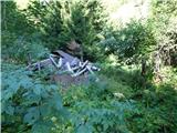 47
47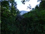 48
48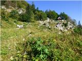 49
49 50
50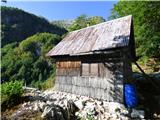 51
51 52
52 53
53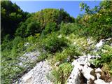 54
54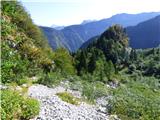 55
55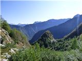 56
56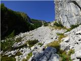 57
57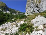 58
58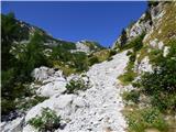 59
59 60
60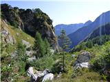 61
61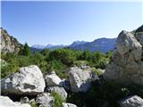 62
62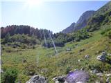 63
63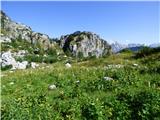 64
64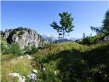 65
65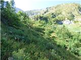 66
66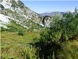 67
67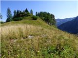 68
68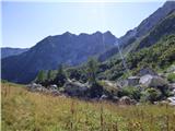 69
69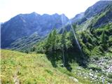 70
70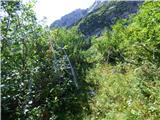 71
71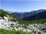 72
72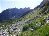 73
73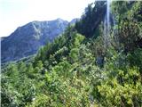 74
74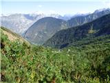 75
75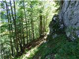 76
76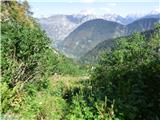 77
77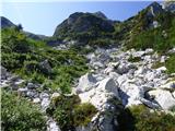 78
78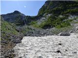 79
79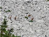 80
80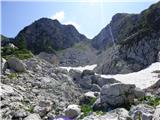 81
81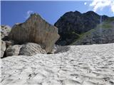 82
82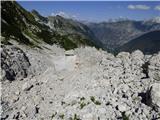 83
83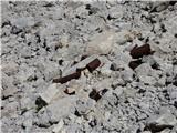 84
84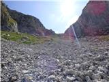 85
85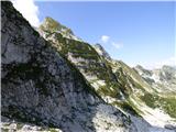 86
86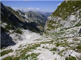 87
87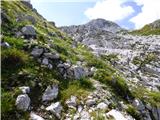 88
88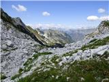 89
89 90
90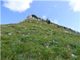 91
91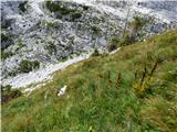 92
92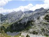 93
93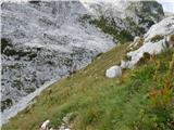 94
94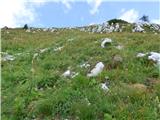 95
95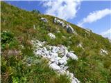 96
96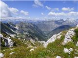 97
97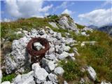 98
98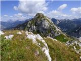 99
99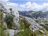 100
100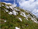 101
101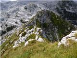 102
102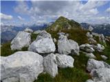 103
103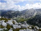 104
104 105
105 106
106 107
107
Discussion about the trail Lepena - Vogel (above Lepena) (via Planina Zagreben)
|
| ljubitelj gora7. 09. 2018 |
Slike 29, gre se naravnost in s tem se občutno skrajša pot, pride se ven pri sliki 82/83.
|
|
|
|
| raubšic7. 09. 2018 |
Bodo strašno veseli ko boste šli mimo bajte.  Izhodišče je Šunikov gaj!
|
|
|
|
| ljubitelj gora7. 09. 2018 |
Saj se ne rabi it mimo hiš, ampak se gre z avtom še mal naprej proti Lepeni in pod ovinki, na desni je parkirišče, klopca, inf.table. Tam se lahko začne, kam točno potem treba najti leseni mostiček pol pa bo že šlo naprej, še čez drugi mostiček in po oznaka naprej...
|
|
|