Starting point: Liboje (300 m)
Time of walking: 45 min
Difficulty: easy marked way
Altitude difference: 309 m
Altitude difference po putu: 335 m
Map:
Recommended equipment (summer):
Recommended equipment (winter): crampons
Views: 10.052
 | 2 people like this post |
Access to the starting point:
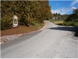
From the Ljubljana - Maribor motorway, take the Žalec exit and continue towards Arji vas. At the crossroads at the end of the village, continue straight on towards Liboj. In Liboje, turn left towards Košnice near Celje and follow the road until you reach the mountain signs for Veliki Slomnik or Šmohor. You can park safely at the chapel, where there are a few parking spaces available.
Path description:
From the parking lot, follow the route signs and markings along the asphalt road uphill. The asphalt road then turns into an easy-to-follow forest road. Along the way there are a few farmhouses, pastures, meadows, fields. . . The forest road then turns into a forest and continues to a crossroads where the path goes left for Veliki Slomnik and right for Šmohor.
From the crossroads, go left, slightly downhill, and you will see a wooden cross on the right side of the path, and a pillar of a high-voltage power line on the left. The forest road turns into a narrower forest path and you continue climbing higher on a slightly rockier terrain. You reach the ideal viewpoint of Libojska stena, where you can rest your eyes with beautiful views of the surrounding area and the slightly distant area. After the views, a few more minutes of pleasantly easy continuation and you reach the summit of Veliki Slomnik.
The total length of the route is about 2700 metres, 335 positive vertical metres and 25 negative vertical metres.

Pictures:
 1
1 2
2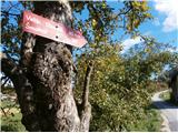 3
3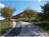 4
4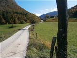 5
5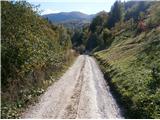 6
6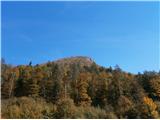 7
7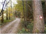 8
8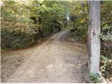 9
9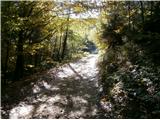 10
10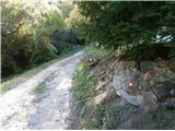 11
11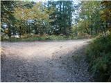 12
12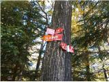 13
13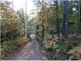 14
14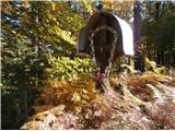 15
15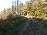 16
16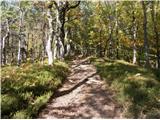 17
17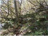 18
18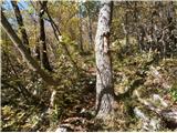 19
19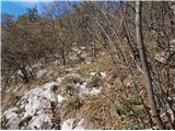 20
20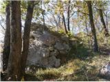 21
21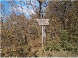 22
22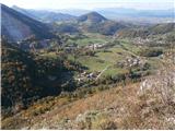 23
23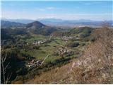 24
24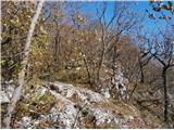 25
25 26
26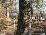 27
27
Discussion about the trail Liboje - Veliki Slomnik
|
| julius9. 05. 2016 |
Lep izlet.
Nekaj detajlov, ki bi jih bilo vredno popraviti:
- na izhodiščnem križišču ni možno parkirati, ker je tam enostavno križišče in ne parkirišče
- Parkiranje je pa možno v nadaljevanju gozdne ceste na večih mestih.
- smerne table na sliki št. 13 so že za razpotjem in so vidne le v primeru, da se nameniš na Šmohor in kmalu jih drevo zaraslo.
- v nadaljevanju poti tako do razgledišča, kot do vrha, pa bi bilo zelo dobro, če bi se tja podal nekdo s škarjami za drevje in pot temeljito obstrigel.
- Štampiljka na vrhu pa je že davno odslužila.
|
|
|